Vintage Bahamas Maps Of Anchorages And Harbors. 7 Maps 11 " X17 ", 1 Chart 37 ' X51 "


Item History & Price

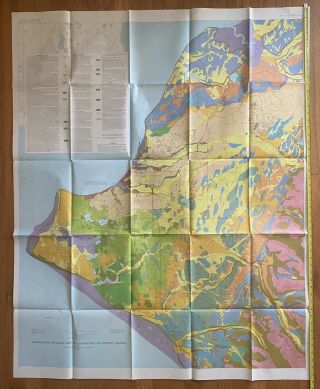
Vintage Map - Generalized Geologic Map Of Anchorage And Vicinity, Alaska (1972)
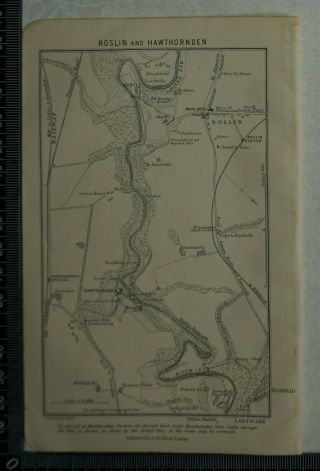
1892 Vintage Bartholomew Map Of Roslin And Hawthornden, Scotland
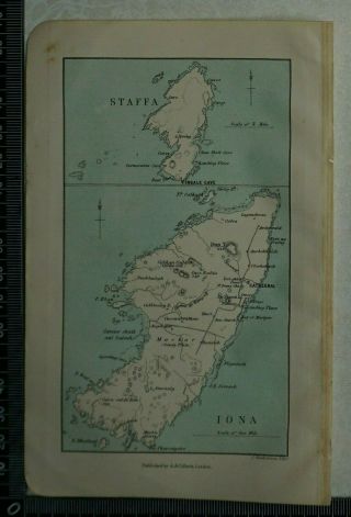
1892 Vintage Bartholomew Map Of Staffa And Iona, Scotland
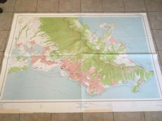
Huge Vintage 1954 Map Of Honolulu And Vicinity 49 X 69 Usgs Topo Map.
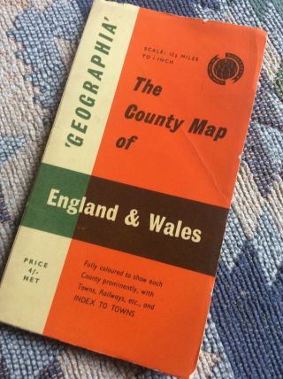
Geographia. Vintage County Map Of England And Wales
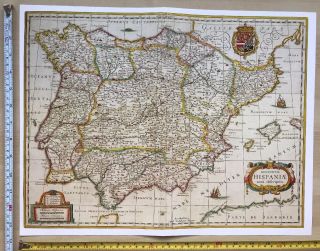
Historic Antique Old Vintage Blaeu Map Of Spain And Portugal 1631 1600 ' S Reprint
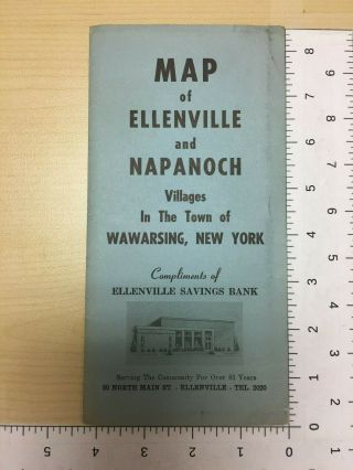
Vintage Brochure Map Of Ellenville And Napanoch Villages Wawarsing York
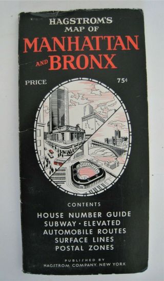
Vintage Hagstrom Map Of Manhattan And Bronx York City Nyc

1860 Mitchell Hand Colored Map Colorado, Nebraska & Kansas - Civil War Era

18th Century French Map Of North America

Las Vegas Nevada Vintage 1967 Us Geological Survey Quadrangle Map 4 Panels

Rare Antique 1845 Maps United States Exploring Expedition Book Antartica Hawaii

Vintage 1926 Map Hollywood From The Best Surveys Of The Time

American Continent (western Hemisphere) 1747 Bowen Antique Copper Engraved Map

Gulf Coast Florida Texas United States 1705 De Fer Unusual Antique Engraved Map

California As Island United States 1700 De Fer Unusual First Edition Antique Map