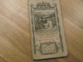
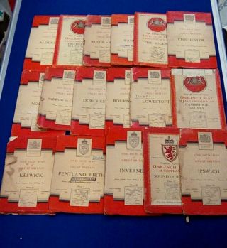
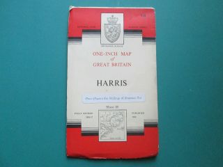
Vintage Ordnance Survey One - Inch Map Of Bodmin, Fifth Edition, 1934
Item History & Price
Reference Number: Avaluer:14262948 | Year: 1934 |
Type: Ordnance Survey Map |
Reference Number: Avaluer:14262948 | Year: 1934 |
Type: Ordnance Survey Map |
1918 Lovely Vintage Ordnance Survey One Inch Map Of Tiverton And District Devon
Vintage Ordnance Survey One - Inch Map Of Ripon, Map Number 91. Cloth 3d 1947
Vintage Ordnance Survey One Inch Map Of North Antrim Pop. Edition Sheet 2 1938
Vintage Ordnance Survey One Inch Map Of Anglesey
Ordnance Survey One Inch Map Of Great Britain - Lochcarron Scotland - Vintage Uk
37x Ordnance Survey One Inch Maps Of Britain 1940 ' S, 50 ' S, 60 ' S
First Issue Ordnance Survey One - Inch Map Of Harris 1960 Map, Number 18.
Hungary & Romania 1579 (1584) Ortelius Unusual Antique Copper Engraved Map
Brussels Bruxelles Belfium 1777 De Ferraris & Dupuis Large Antique Map Sheet Xxi
1616 Atlas Map Of Iceland.
Kazan Russia 1767 Le Clerc/lespinasse Antique Copper Engraved City View
1899 Stanford, Folding Map Of Norwich, Norfolk, Arthur Collins, Jarrold & Sons,
1948 Vintage Linen Colour Map Geological Survey Ten Mile Of Great Britain
1944 Map Flying Bombs Sussex Ww2 Newspaper Military Kent Courier German V1 V2
Dated 1638 Vellum Map Of Icklesham Sussex Showing Land Uses Owners Etc