ANTIQUE MAP OF COUNTY CLARE C. 1924
Item History & Price
| Reference Number: Avaluer:14265729 |
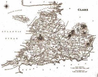
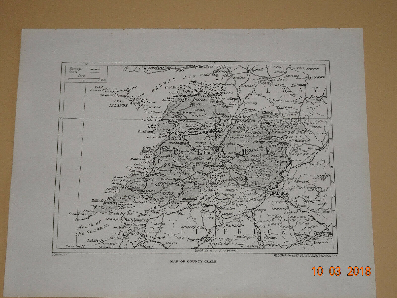
ANTIQUE MAP OF COUNTY CLARE c.1924 This map of Clare has been taken fromHutchinson’s Britain Beautiful published c.1924-26. Picture on back. Hutchinsonproduced an illustrated account of the magnificent historical, architecturaland picturesque wonders of the counties of England, Scotland, Wales and Irelandincluding a number of county maps. Bodies of water define much of thephysical boundaries of Clare including the River Shannon, Ireland's longestriver. County Clare als...o includes The Burren, a unique Karst region, whichcontains rare flowers and fauna.VGcondition. Clean. Neat, clear and well presented.Approx page size = 10½ x 8¼ inches (27 x 21 cms)