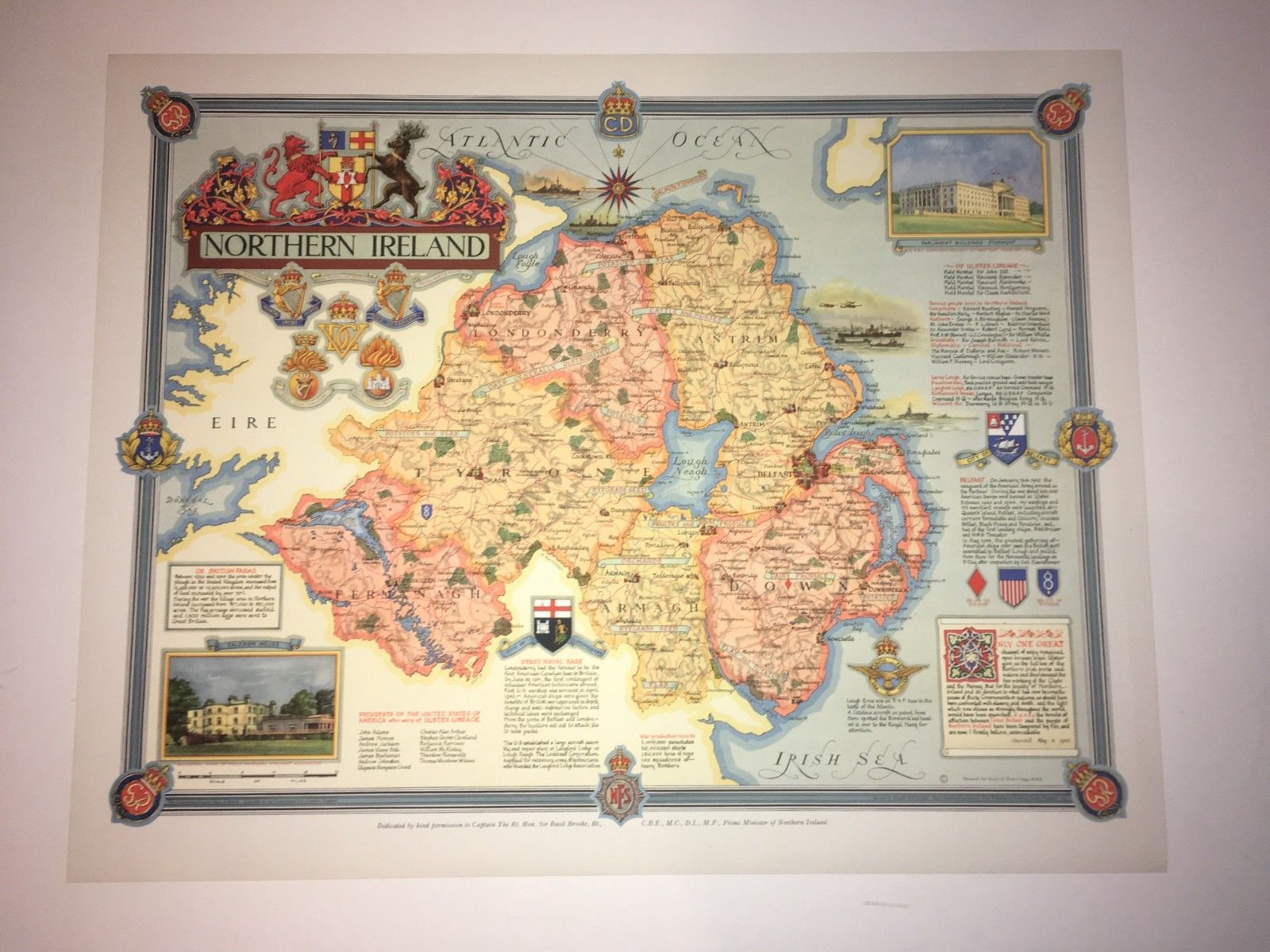
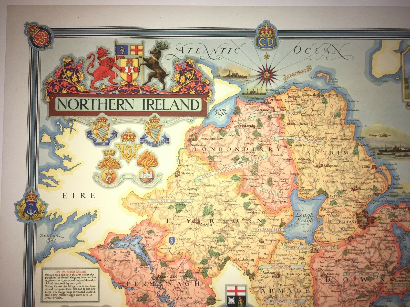
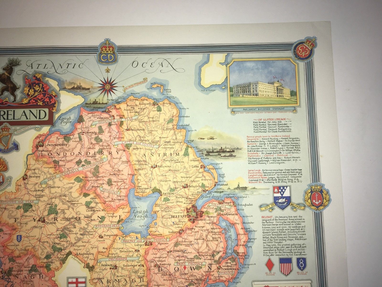
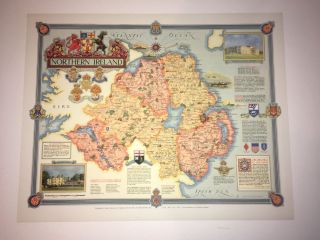
Northern Ireland Map Designed & Drawn Ernest Clegg 1947 | Historic Vintage Print
Item History & Price
| Reference Number: Avaluer:14266036 | Year: 1947 |
| Country/Region: Ireland |
Hello, for sale is an Immediately Post war map showing places of interest, products, and places which had connections in the country. This was left to me and i have finally decided to clear out all of my old vintages posters, maps and art so please check my other listings. This map print was designed by Ernest Clegg and it is in very good condition with no rips or marks. It has been stored carefully and care will be taken when posting to ensure it arrives undamaged.I will try and ...answer any questions but unfortunately my knowledge of these items is limited. I have a large number of these available and will consider offers for more than 1 print.
Please make payment within 7 working days
Items will be dispatched within 4 working days
Any questions please contact me
Good luck and many thanks
Please make payment within 7 working days
Items will be dispatched within 4 working days
Any questions please contact me
Good luck and many thanks

![[1947] Map Of Northern Ireland – Designed By Ernest Clegg](https://pic-k.avaluer.net/imgstmb/g/g/q/m/d/-1947_map_of_northern_ireland__designed_by_ernest_clegg-1_10_tmb.jpg)