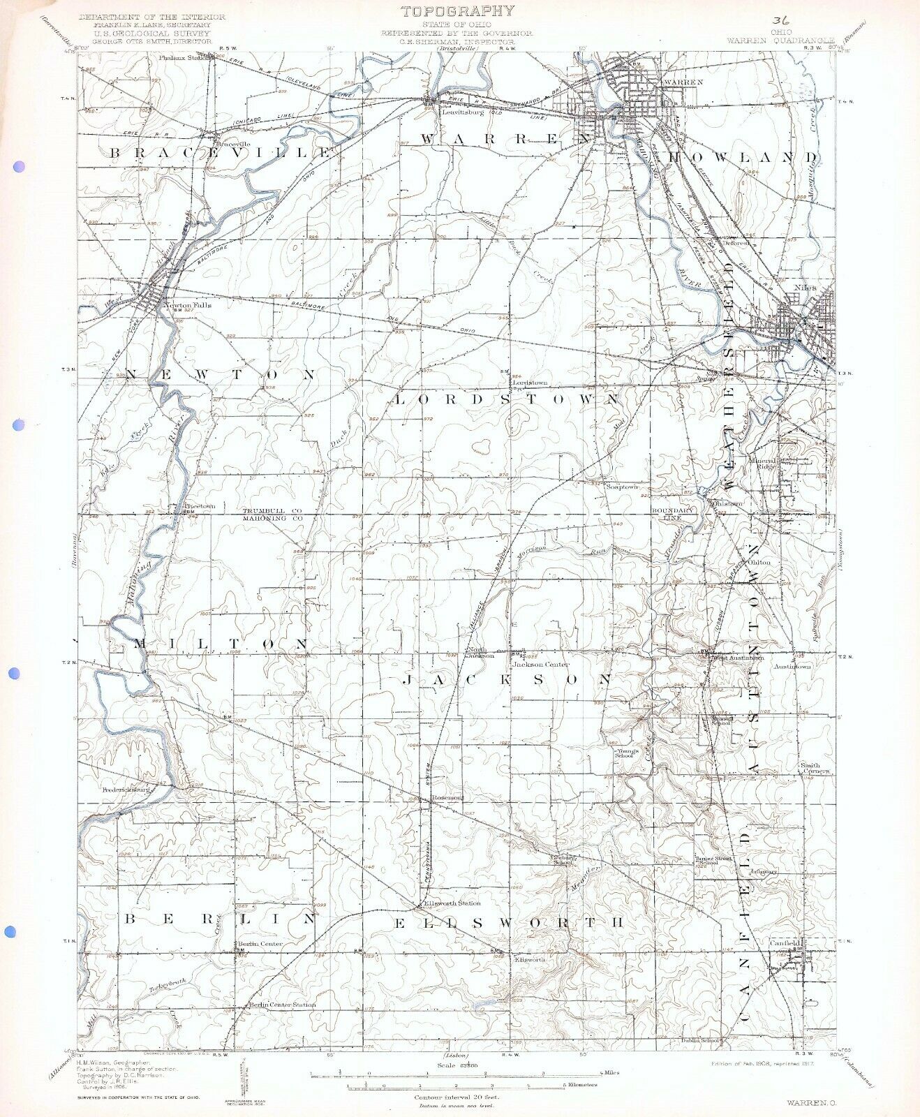
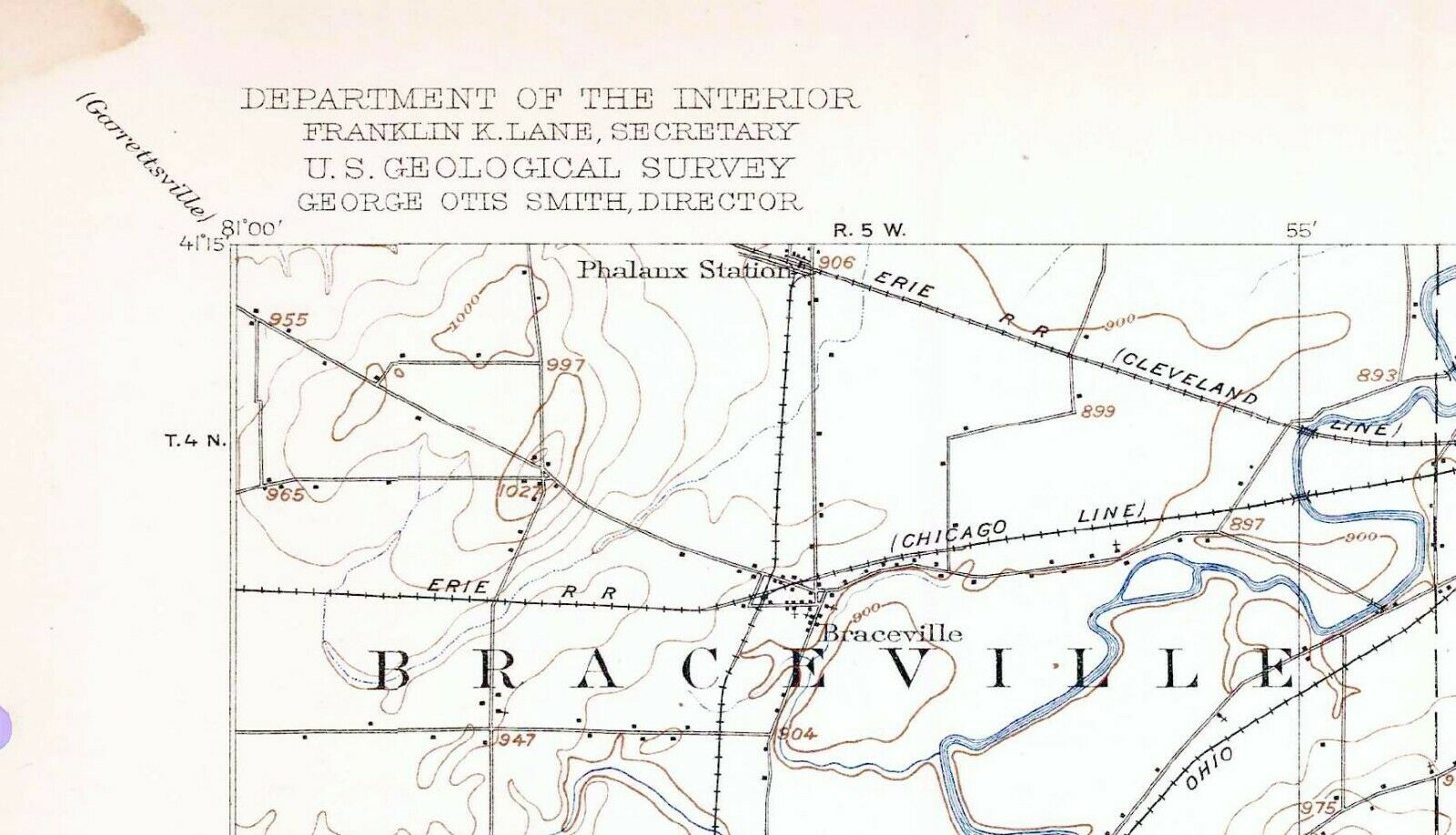
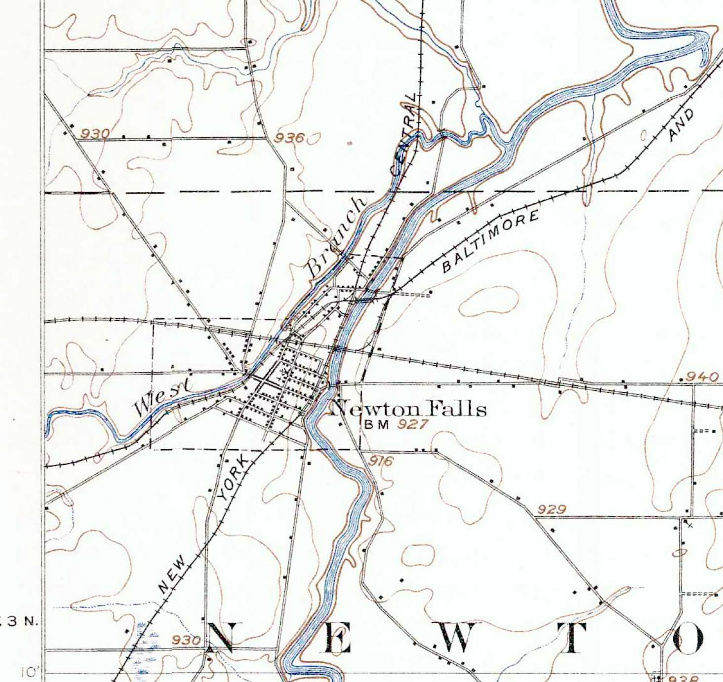
1908 Warren OH USGS 15 ' Top Map Newton Falls Niles Canfield Berlin Mineral Ridge
Item History & Price
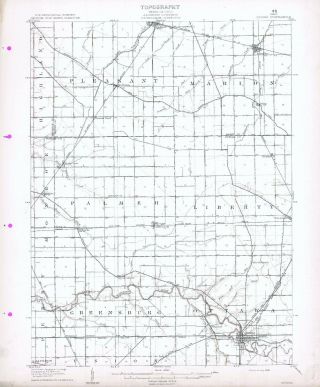
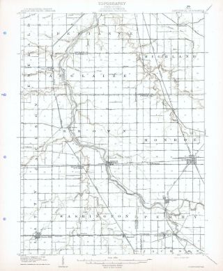
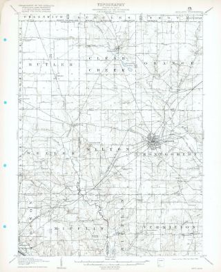
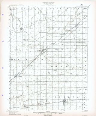
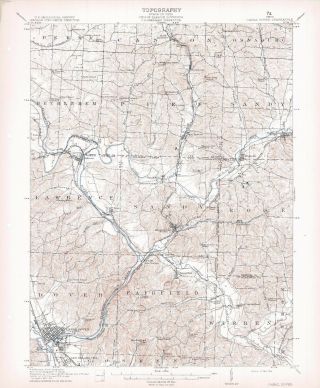
Very cool 15 minute sheet, 1908 edition, surveyed in 1906, and printed in 1917. Includes standard USGS map information printed on back. My dad purchased a binder of the entire state of Ohio perhaps 40 years ago, and I have stored them for some time. Downsizing now.These measure about 16 x 20 inches and are very suitable for framing. Also good for locating homesteads and farmsteads, as most individual buildings are shown other than in cities and large towns. ...; Includes Braceville, Warren, Newton, Braceville, Lordstown, Milton Jackson, Berlin, and Ellsworth Townships; and portions of Cznfield, Austintown, Weathersfield, and Howland Townships in Trumbull and Mahoning Counties.Also such place names as the Phalanx Station, Braceville, Leavittsburg, Mahoning River, Mosquito Creek, Deforest, Salt Spring, Soaptown, Ohlstown, Ohlton, Pricetown, North Jackson, Jackson Center, West Austintown, Austintown, Smith Corners, Rosemont, Fredericksburg, Berlin Center, Ellsworth Station, Ellsworth, Infirmary, and Berlin Center Station.Several small Schools are shown as follows: Dublin, Turner Street, Geeburg, Youngs, and Russell.In the margins appear to be Town and Range numbers as well.An unnamed Electric Interurban Railroad line is shown connecting Niles and Warren.Other Railroad lines shown include the Erie RR; New York Central RR; Pennsylvania System; and the Baltimore & Ohio RR.
I will also be listing the option to purchase the entire State of Ohio (200+ maps) on an SD Card in pdf format.
Multiple auctions ship at no extra cost; please request an adjusted invoice. Shipped rolled in a USPS Priority Tube.
I will also be listing the option to purchase the entire State of Ohio (200+ maps) on an SD Card in pdf format.
Multiple auctions ship at no extra cost; please request an adjusted invoice. Shipped rolled in a USPS Priority Tube.