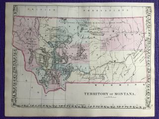
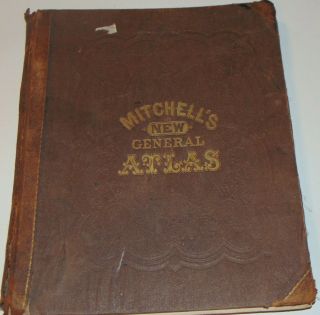
Mitchell ' S General Atlas Territory Of Wyoming Antique Map 1880


Item History & Price

Information:
Reference Number: Avaluer:14283996Year: 1880
Date Range: 1800-1899Format: Atlas
US State: Wyoming
Original Description:
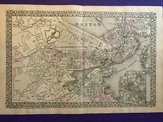
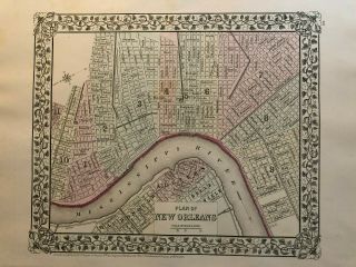
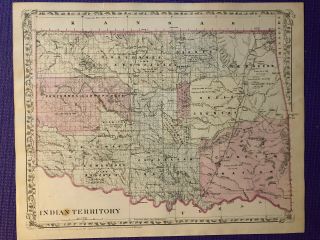
Mitchell's New General Atlas 1880 map of the Territory of Wyoming. Beautiful hand-colored 15 1/4 x 12 3/8 inch map, including margins. Overall great condition, no tears, some foxing along edges, seam along bottom edge, typical age coloring. Page 86 of Mitchell's Atlas.

Shipped with USPS Priority Mail, will be safely rolled and packaged in triangular tube.


    Similar items


  • Mitchell

    Mitchell ' S General Atlas Territory Of Montana Antique Map 1880

  • Mitchell

    Mitchell ' S General Atlas Plan Of Milwaukee Antique Map 1880

  • Mitchell

    Mitchell ' S General Atlas 1880 Antique Territory Of Dakota Map

  • Mitchell

    Mitchell ' S General Atlas United States And Territories Antique Map 1880

  • Mitchell

    Mitchell ' S General Atlas 1880 City Of Boston Antique Plan

  • Mitchell

    Mitchell ' S General Atlas 1880 Antique Plan Of Orleans

  • Mitchell

    Mitchell ' S General Atlas 1880 Antique " Indian Territory " Oklahoma Map

  • Mitchell

    Mitchell ' S General Atlas 1871 U. S. States & Cities Countries Of The World


    • You might also like


    • 1860 Mitchell Hand Colored Map Colorado,  Nebraska & Kansas - Civil War Era

      1860 Mitchell Hand Colored Map Colorado, Nebraska & Kansas - Civil War Era

    • 18th Century French Map Of North America

      18th Century French Map Of North America

    • Las Vegas Nevada Vintage 1967 Us Geological Survey Quadrangle Map 4 Panels

      Las Vegas Nevada Vintage 1967 Us Geological Survey Quadrangle Map 4 Panels

    • Rare Antique 1845 Maps United States Exploring Expedition Book Antartica Hawaii

      Rare Antique 1845 Maps United States Exploring Expedition Book Antartica Hawaii

    • Vintage 1926 Map Hollywood From The Best Surveys Of The Time

      Vintage 1926 Map Hollywood From The Best Surveys Of The Time

    • American Continent (western Hemisphere) 1747 Bowen Antique Copper Engraved Map

      American Continent (western Hemisphere) 1747 Bowen Antique Copper Engraved Map

    • Gulf Coast Florida Texas United States 1705 De Fer Unusual Antique Engraved Map

      Gulf Coast Florida Texas United States 1705 De Fer Unusual Antique Engraved Map

    • California As Island United States 1700 De Fer Unusual First Edition Antique Map

      California As Island United States 1700 De Fer Unusual First Edition Antique Map

Avaluer          About Us          Privacy Policy          Contact Us          UP
© 2022, avaluer.net, Inc. or its affiliates