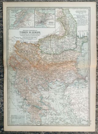
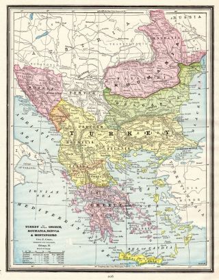
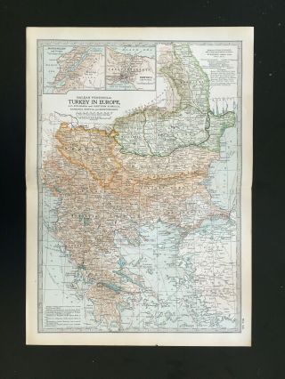
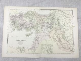
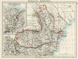
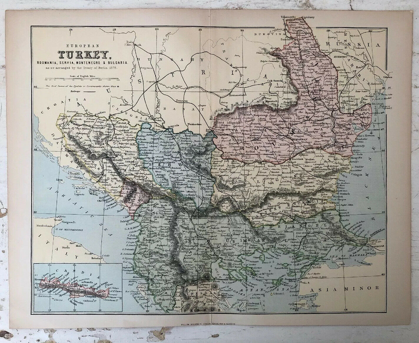
Antique Map Of Turkey, Romania, Servia, Montenegro And Bulgaria Circa 1899


Item History & Price

Information:
Reference Number: Avaluer:14290758Year: 1899
Date Range: 1800-1899Format: Atlas Map
Country/Region: SwedenEra: 1800s
Original Description:
MAP: Turkey, Romania, Servia, Montenegro And Bulgaria DATE PRINTED: Circa 1900IMAGE SIZE: Approx 27cm x 22cm, 10.5 x 8.5 inches plus a small white border.FOLD: SingleCONDITION: The Map Is In Good Condition But May Have Some Age Related Wear. Over 100 Years Old.Please Check The Images CarefullyPOSTAGE: First Class Or Air Mail in Carded Envelope.Please email with any questions regarding this item.


    Similar items


  • Antique Map Of Turkey Balkan Bulgaria Romania Servia Montenegro 1903

    Antique Map Of Turkey Balkan Bulgaria Romania Servia Montenegro 1903

  • 1890 Antique Turkey Map Vintage Map Of Turkey Romania Serbia Greece Map 5572

    1890 Antique Turkey Map Vintage Map Of Turkey Romania Serbia Greece Map 5572

  • Antique Map Of Turkey Bulgaria Montenegro Servia Rumania Greece 1903

    Antique Map Of Turkey Bulgaria Montenegro Servia Rumania Greece 1903

  • 1882 Antique Map Of Turkey In Asia Turkish Empire 19th Century

    1882 Antique Map Of Turkey In Asia Turkish Empire 19th Century

  • Antique Map Of Turkey,  Greece And The Balkans By Robert De Vaugondy 1750

    Antique Map Of Turkey, Greece And The Balkans By Robert De Vaugondy 1750

  • Antique Map Of Rumania Romania Bosporus Johnston 1892

    Antique Map Of Rumania Romania Bosporus Johnston 1892

  • 1830 Antique Map Of Turkey.  Istanbul.  Ottoman Empire.  189 Years Old Chart.

    1830 Antique Map Of Turkey. Istanbul. Ottoman Empire. 189 Years Old Chart.

  • Antique Map Of Turkey By Claude Buffier 1744

    Antique Map Of Turkey By Claude Buffier 1744


    • You might also like


    • Hungary & Romania 1579 (1584) Ortelius Unusual Antique Copper Engraved Map

      Hungary & Romania 1579 (1584) Ortelius Unusual Antique Copper Engraved Map

    • Brussels Bruxelles Belfium 1777 De Ferraris & Dupuis Large Antique Map Sheet Xxi

      Brussels Bruxelles Belfium 1777 De Ferraris & Dupuis Large Antique Map Sheet Xxi

    • 1616 Atlas Map Of Iceland.

      1616 Atlas Map Of Iceland.

    • Kazan Russia 1767 Le Clerc/lespinasse Antique Copper Engraved City View

      Kazan Russia 1767 Le Clerc/lespinasse Antique Copper Engraved City View

    • 1899 Stanford,  Folding Map Of Norwich,  Norfolk,  Arthur Collins,  Jarrold & Sons,

      1899 Stanford, Folding Map Of Norwich, Norfolk, Arthur Collins, Jarrold & Sons,

    • 1948 Vintage Linen Colour Map Geological Survey Ten Mile Of Great Britain

      1948 Vintage Linen Colour Map Geological Survey Ten Mile Of Great Britain

    • 1944 Map Flying Bombs Sussex Ww2 Newspaper Military Kent Courier German V1 V2

      1944 Map Flying Bombs Sussex Ww2 Newspaper Military Kent Courier German V1 V2

    • Dated 1638 Vellum Map Of Icklesham Sussex Showing Land Uses Owners Etc

      Dated 1638 Vellum Map Of Icklesham Sussex Showing Land Uses Owners Etc

Avaluer          About Us          Privacy Policy          Contact Us          UP
© 2022, avaluer.net, Inc. or its affiliates