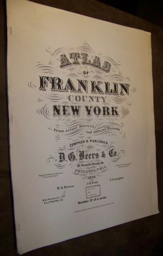
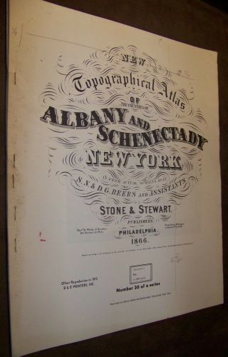
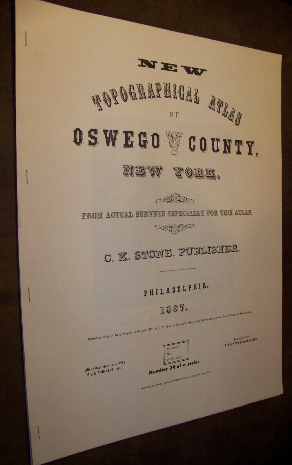
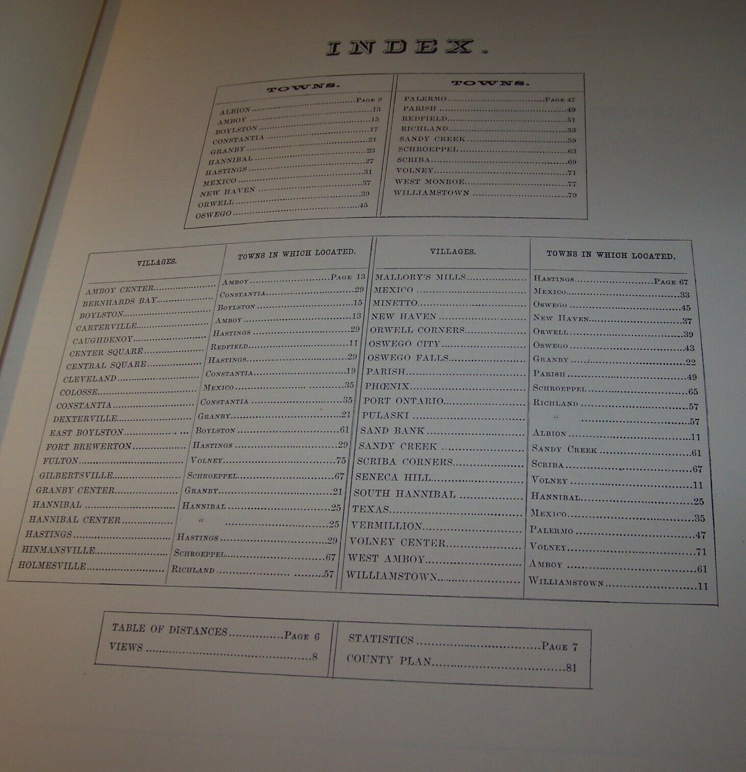
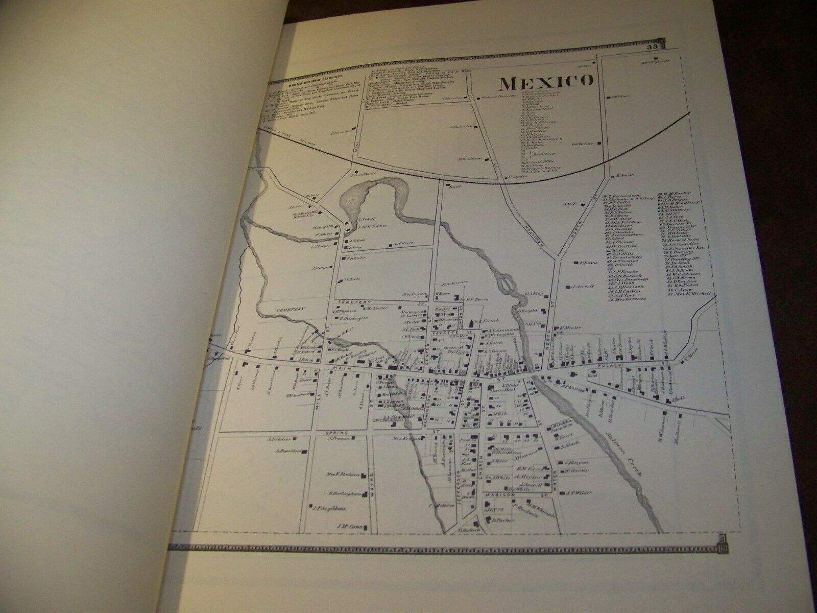
1867 OSWEGO COUNTY NY ATLAS MAP FW BEERS ALBION PARISH REDFIELD 1974 REPRINT
Item History & Price
| Reference Number: Avaluer:14297496 | Format: Atlas Map |
| Year: 1876 | Type: County Map |
1867 OSWEGO COUNTY NY ATLAS MAP FW BEERS ALBION PARISH REDFIELD 1974 REPRINT. B&E Printers 1974, reproduction of original 1867 Atlas. Series originally limited to 300 copies, this copy unnumbered without a cover. Cover soiled/foxed, book musty smelling. Light edge and cornerwear, good overall, spine stitches are rusty. It measures 13 1/2"w x 17 1/2"h. A nice find.
Item from the estate of long time D&C reporter Hans Tanner, of which I haveacquired a large part of his vast loc...al history collection I'll be listing overthe coming months. Failure to read full description mayresult in delays and misunderstandings. Please look elsewhere if you feel shippingcharge quoted is too high. I do not set rates and can’t afford to absorb thesecosts, being a small operation. Charge calculated by packed size, weight andship to destination from NY. I do not offer free shipping and do not acceptbest offers with shipping included.
Item from the estate of long time D&C reporter Hans Tanner, of which I haveacquired a large part of his vast loc...al history collection I'll be listing overthe coming months. Failure to read full description mayresult in delays and misunderstandings. Please look elsewhere if you feel shippingcharge quoted is too high. I do not set rates and can’t afford to absorb thesecosts, being a small operation. Charge calculated by packed size, weight andship to destination from NY. I do not offer free shipping and do not acceptbest offers with shipping included.