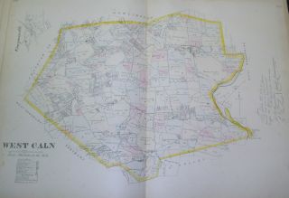
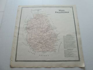
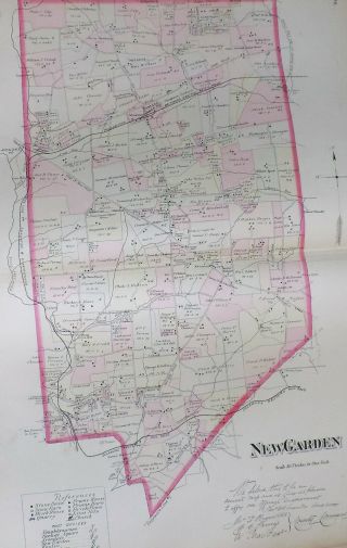
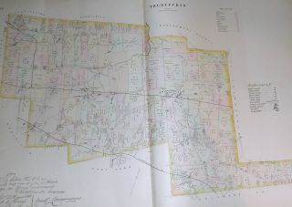
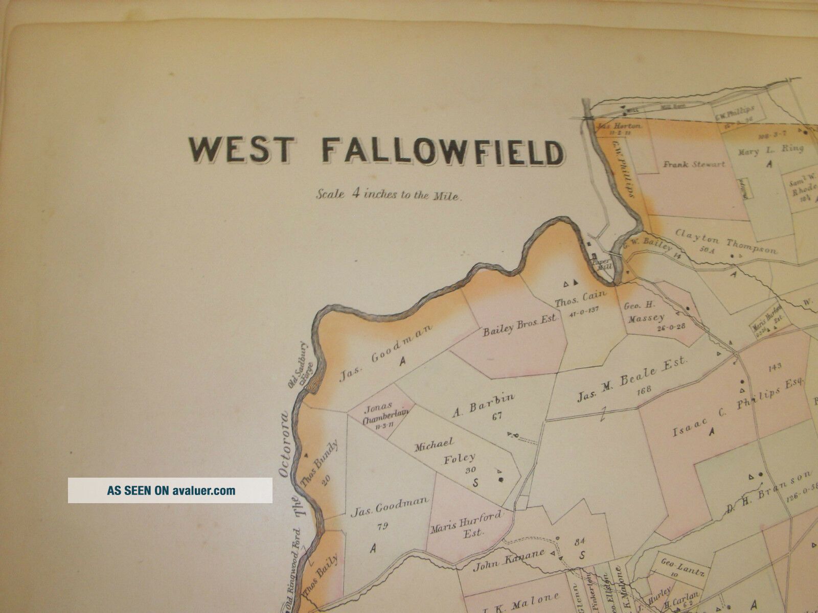
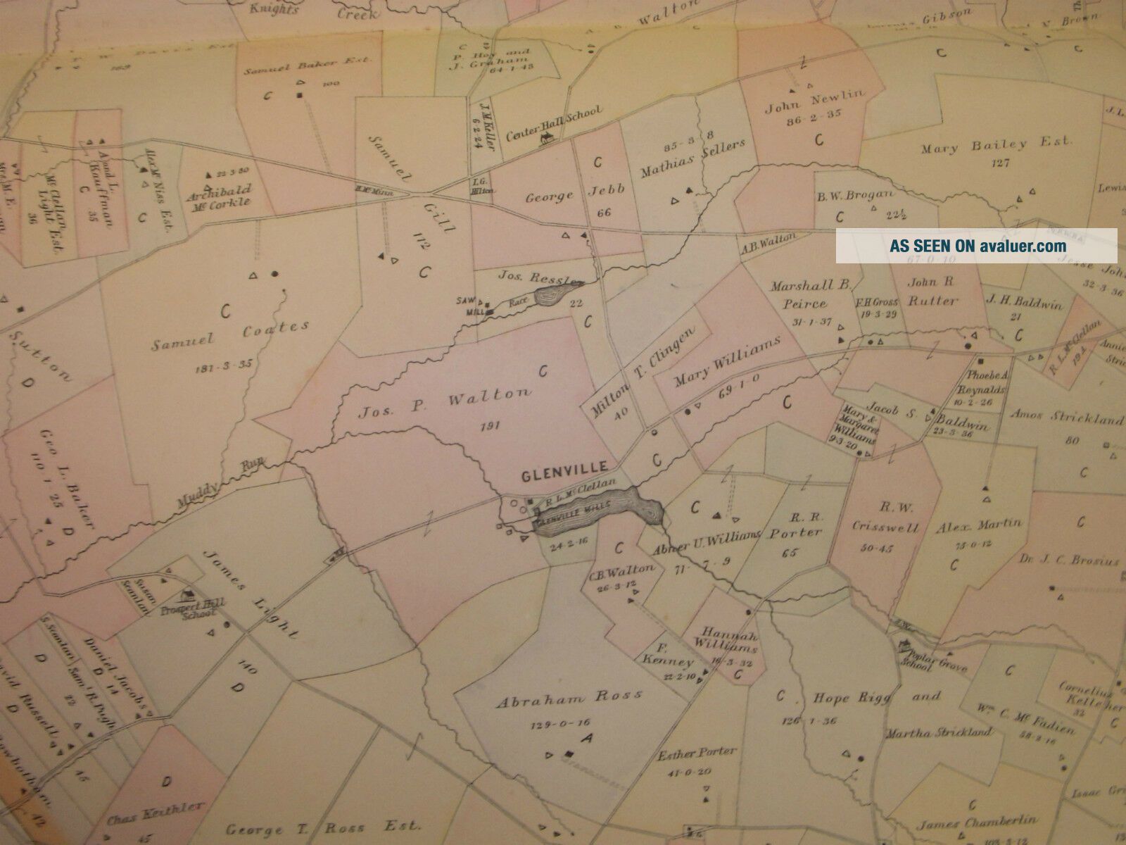
WEST FALLOWFIELD CHESTER COUNTY 1883 MAP ATGLEN STEELEVILLE COCHRANVILLE


Item History & Price

Information:
Reference Number: Avaluer:14344
Original Description:
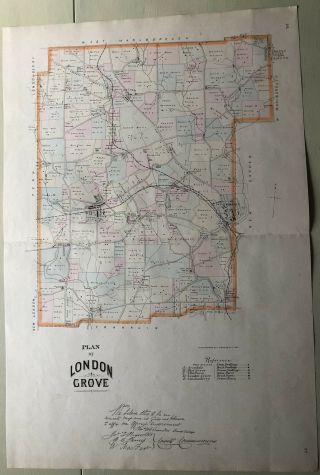
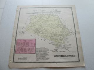
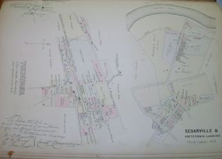
WEST FALLOWFIELD CHESTER COUNTY PA 1883 MAPVintage antique 1883 hand-colored map.This large map is for West Fallowfield in Chester County. It illustrates West Fallowfield including the towns of Atglen, Steeleville, and Cochranville.This is an antique map and not a reprint or reproduction.The handcoloring on the map is period to the map, this is before color printing. The map is from the very rare 1883 Breou's Farm Atlas of Chester County Pennslvania. The map is a fascina...ting and historic period look at this area at this time. The map shows the home and land owners, the business and industry, the few roads, railroads etc that existed at that time.The map is in excellent condition is ready for a frame. The size of the map is 28.5" by 20.5". Shipping within the U.S. will cost $4.95. LOOKING FOR A DIFFERENT ANTIQUE MAP? SEND ME A MESSAGE, THROUGH THE -QUESTION FOR SELLER - I HAVE A LARGE COLLECTION OF EXCELLENT ORIGINAL MAPS.

00022


    Similar items


  • West Caln Chester County 1883 Map Compassville Cains Coatesville Pennsylvania

    West Caln Chester County 1883 Map Compassville Cains Coatesville Pennsylvania

  • 1873 Antique Map,  " West Fallowfield " Chester County Atlas,  Pennsylvania,  Witmer

    1873 Antique Map, " West Fallowfield " Chester County Atlas, Pennsylvania, Witmer

  • Garden Township Chester County 1883 Map Color Real Antique Toughkenamon Etc.

    Garden Township Chester County 1883 Map Color Real Antique Toughkenamon Etc.

  • Tredyffrin Township Chester County 1883 Map Color Antique Pennsylvania

    Tredyffrin Township Chester County 1883 Map Color Antique Pennsylvania

  • 1883 Pa London Grove Twp West Grove,  Towns Breous Farm Map Chester County

    1883 Pa London Grove Twp West Grove, Towns Breous Farm Map Chester County

  • 1873 Antique Map,  " West Bradford " Chester County Atlas,  Pennsylvania,  Witmer

    1873 Antique Map, " West Bradford " Chester County Atlas, Pennsylvania, Witmer

  • Toughkenamon Garden Township Chester County Pa 1883 Map Harmonyville

    Toughkenamon Garden Township Chester County Pa 1883 Map Harmonyville

  • Cochranville Pa - Atglen Pike - W H Tegeler - West Grove - Chester County Pennsylvania

    Cochranville Pa - Atglen Pike - W H Tegeler - West Grove - Chester County Pennsylvania


    • You might also like


    • 1860 Mitchell Hand Colored Map Colorado,  Nebraska & Kansas - Civil War Era

      1860 Mitchell Hand Colored Map Colorado, Nebraska & Kansas - Civil War Era

    • 18th Century French Map Of North America

      18th Century French Map Of North America

    • Las Vegas Nevada Vintage 1967 Us Geological Survey Quadrangle Map 4 Panels

      Las Vegas Nevada Vintage 1967 Us Geological Survey Quadrangle Map 4 Panels

    • Rare Antique 1845 Maps United States Exploring Expedition Book Antartica Hawaii

      Rare Antique 1845 Maps United States Exploring Expedition Book Antartica Hawaii

    • Vintage 1926 Map Hollywood From The Best Surveys Of The Time

      Vintage 1926 Map Hollywood From The Best Surveys Of The Time

    • American Continent (western Hemisphere) 1747 Bowen Antique Copper Engraved Map

      American Continent (western Hemisphere) 1747 Bowen Antique Copper Engraved Map

    • Gulf Coast Florida Texas United States 1705 De Fer Unusual Antique Engraved Map

      Gulf Coast Florida Texas United States 1705 De Fer Unusual Antique Engraved Map

    • California As Island United States 1700 De Fer Unusual First Edition Antique Map

      California As Island United States 1700 De Fer Unusual First Edition Antique Map

Avaluer          About Us          Privacy Policy          Contact Us          UP
© 2022, avaluer.net, Inc. or its affiliates