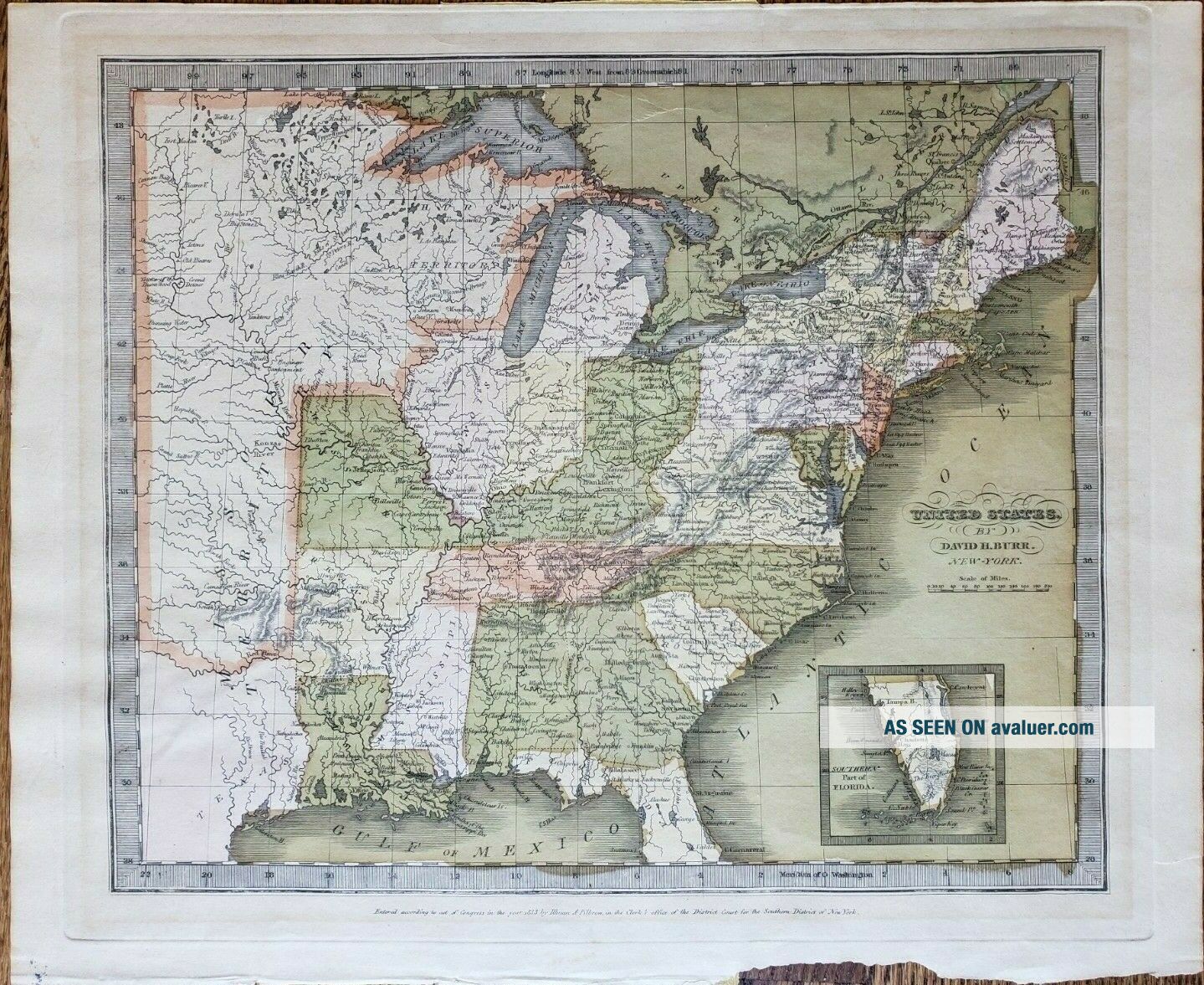
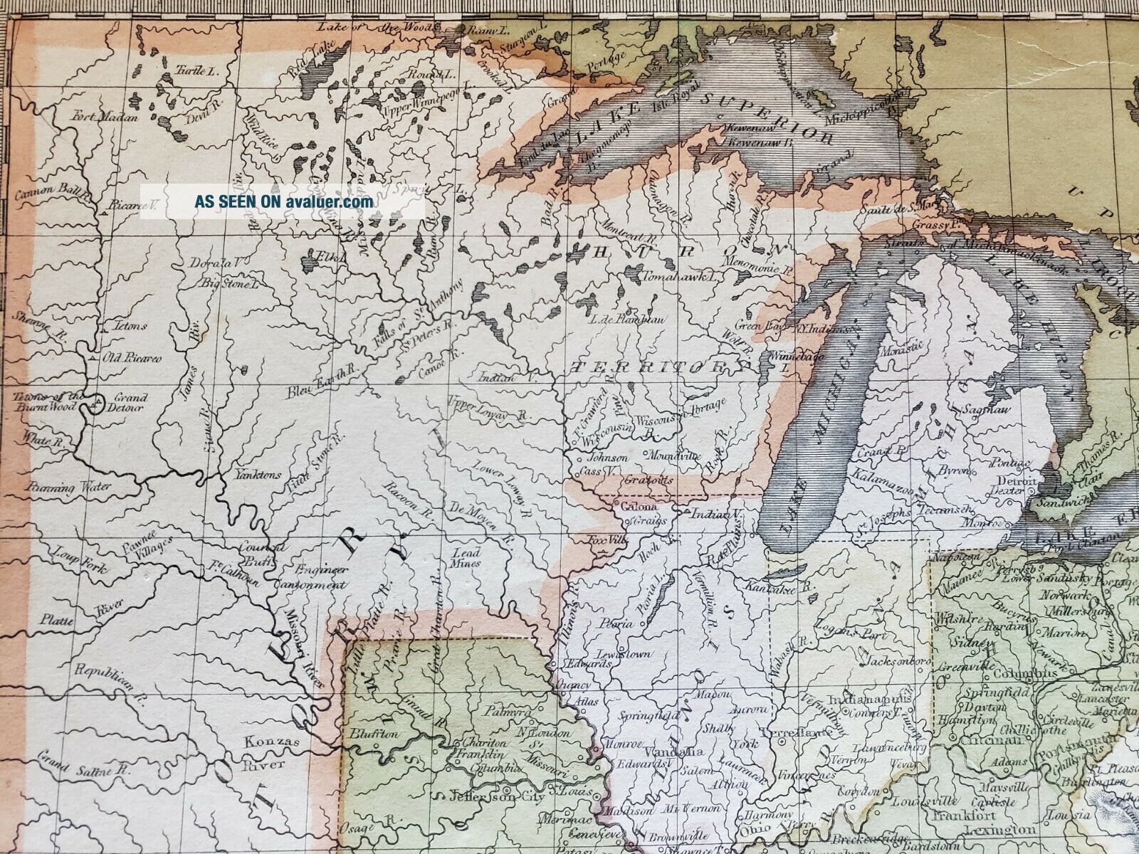
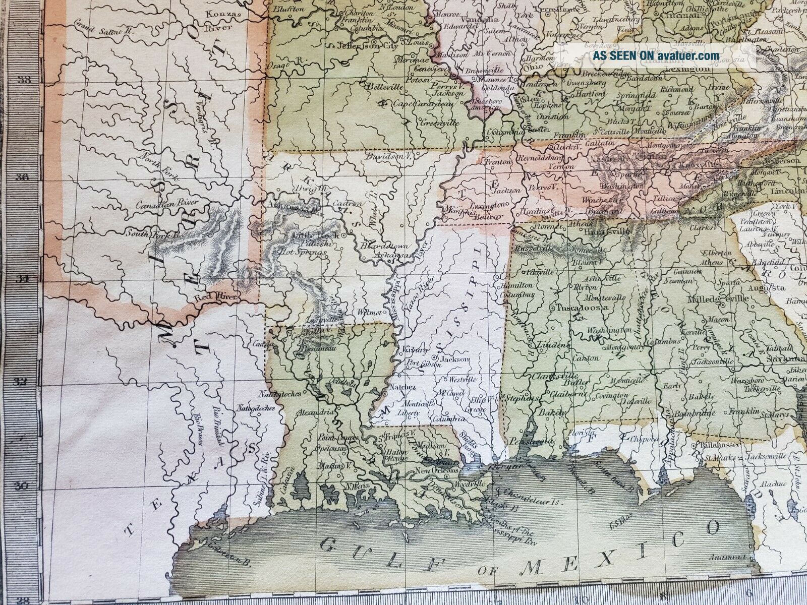
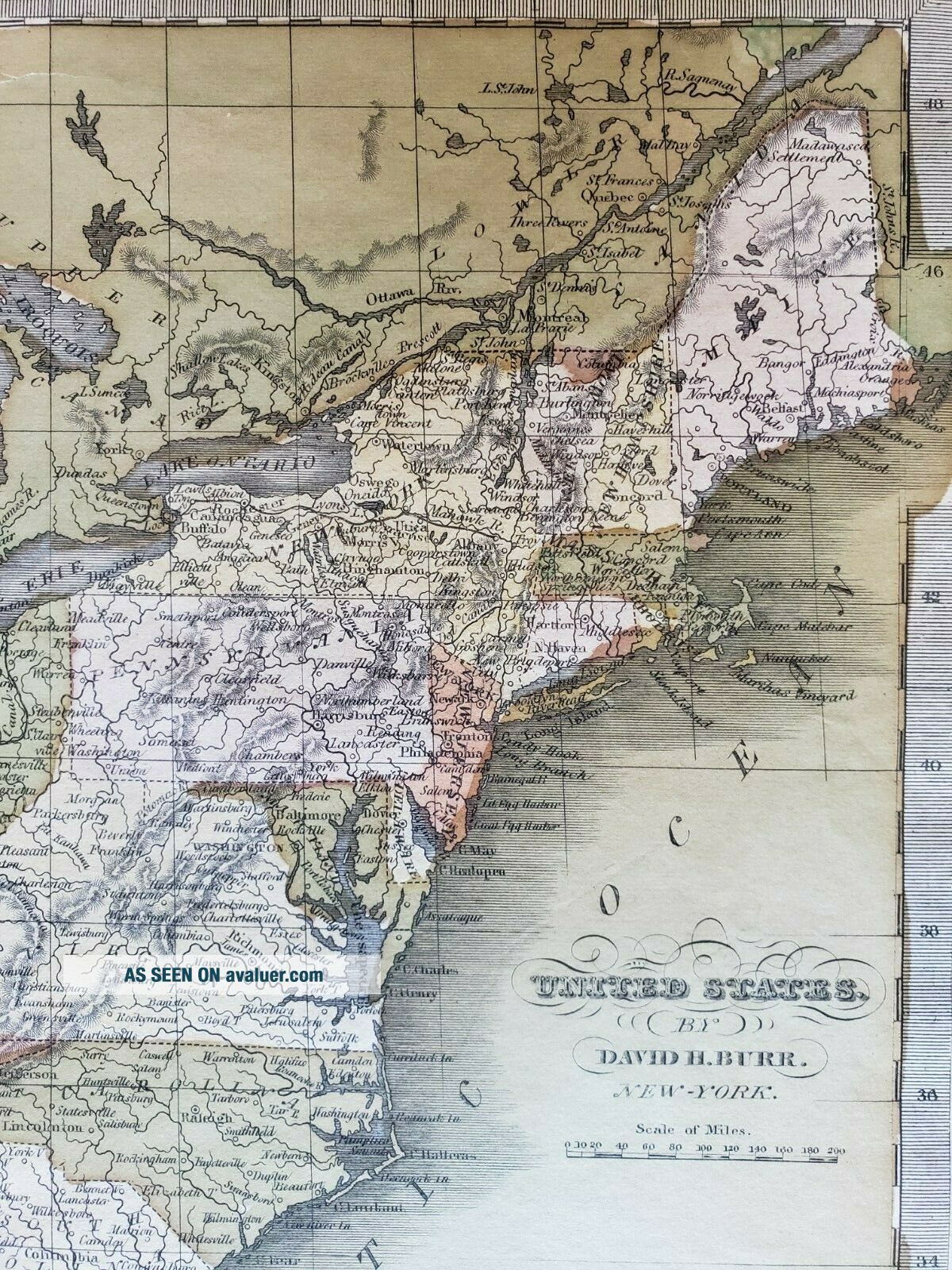
Antique Map Of The United States By: David Burr, 1835
Item History & Price

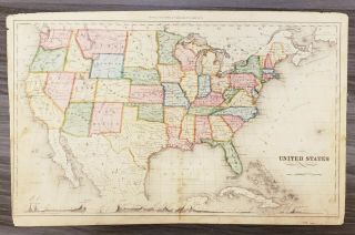
Antique Map Of The United States By: Warner & Beers, 1872
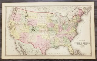
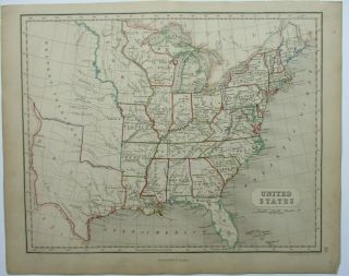
Antique Map Of The United States By: Rand Mcnally, 1880
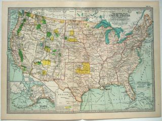
1902 Map Of The United States By The Century Company. Antique. Usa
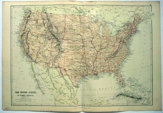
1882 Map Of The United States By Blackie & Son. Antique. Usa
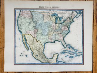
Antique Map Of The United States And Mexico By: Furne 1851
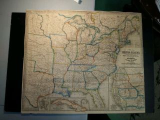
1853 Pocket Map Of The United States. By W. Williams. Publisher Lippincott.
Antique Map Of The United States Of America By William & Robert Chambers 1845
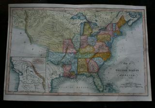
Antique Map Of The United States Of America By J Hinton Hand Coloured Pub 1832

1860 Mitchell Hand Colored Map Colorado, Nebraska & Kansas - Civil War Era

18th Century French Map Of North America

Las Vegas Nevada Vintage 1967 Us Geological Survey Quadrangle Map 4 Panels

Rare Antique 1845 Maps United States Exploring Expedition Book Antartica Hawaii

Vintage 1926 Map Hollywood From The Best Surveys Of The Time

American Continent (western Hemisphere) 1747 Bowen Antique Copper Engraved Map

Gulf Coast Florida Texas United States 1705 De Fer Unusual Antique Engraved Map

California As Island United States 1700 De Fer Unusual First Edition Antique Map