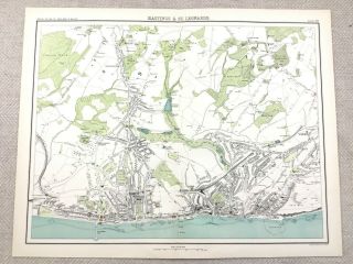
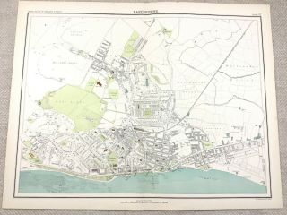
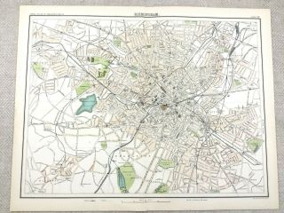
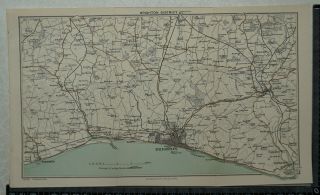
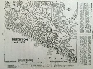
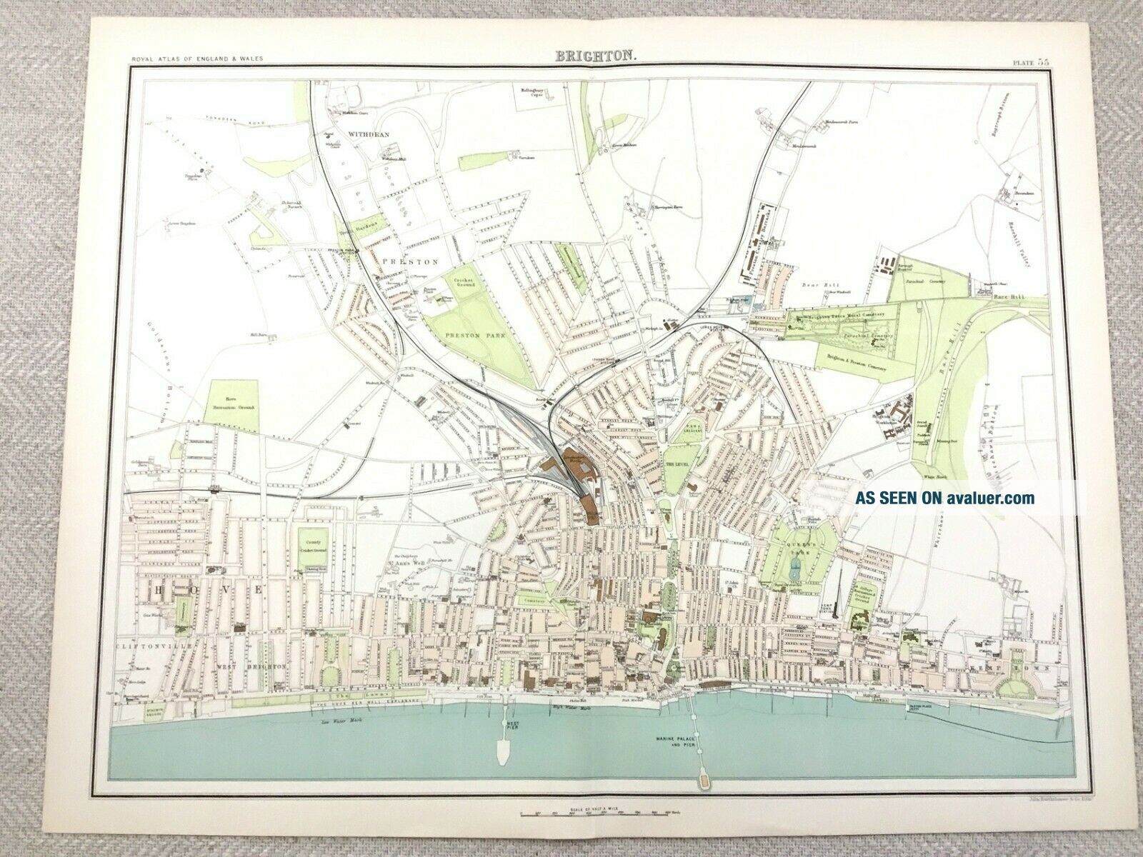
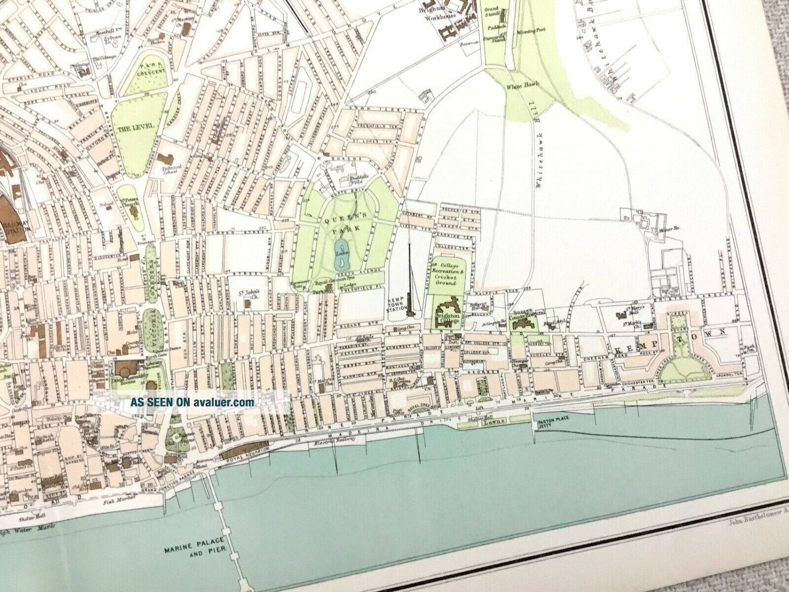
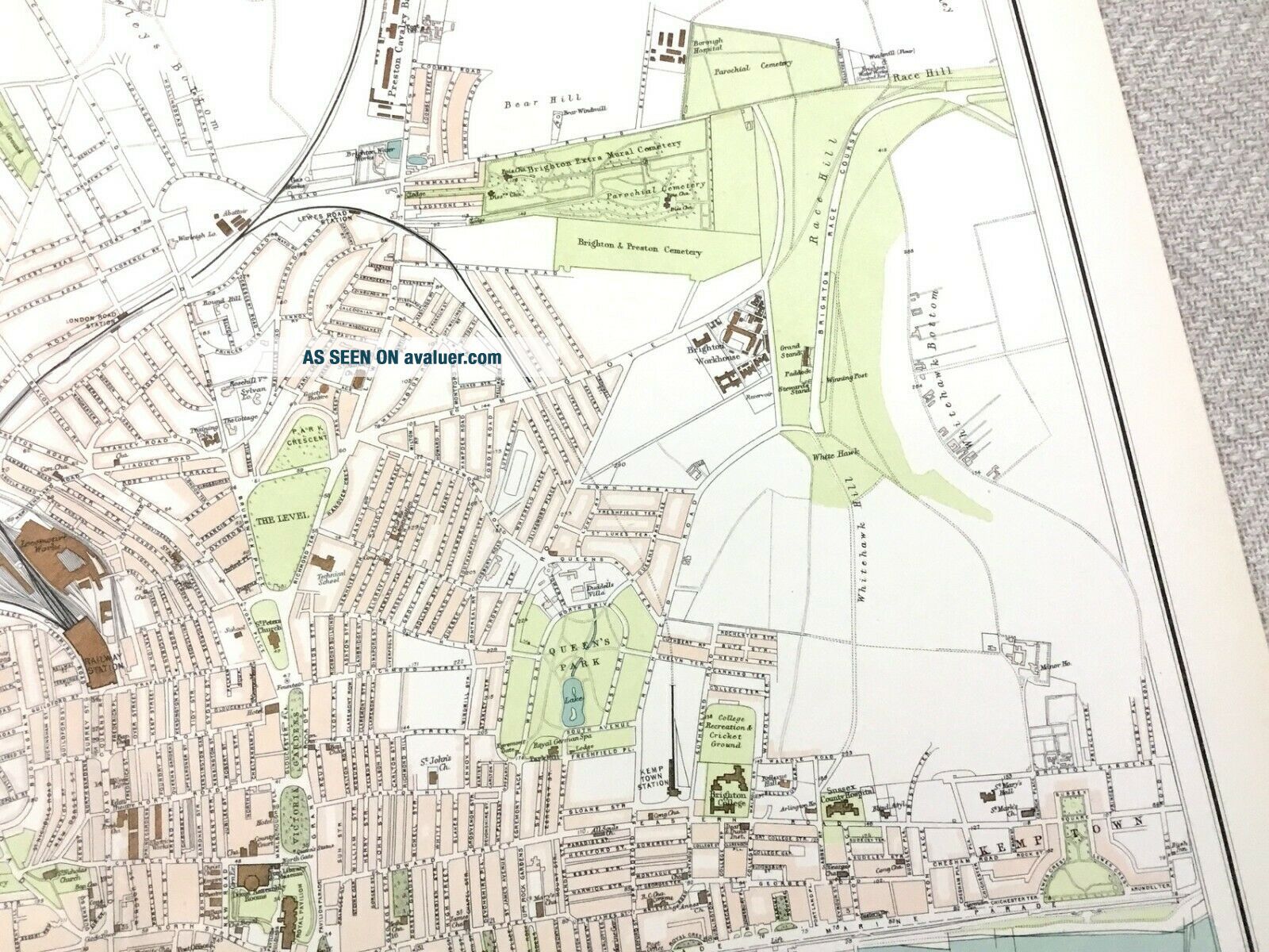
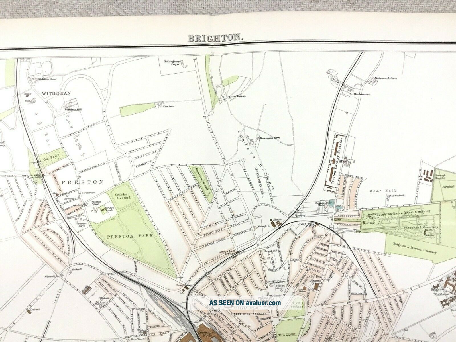
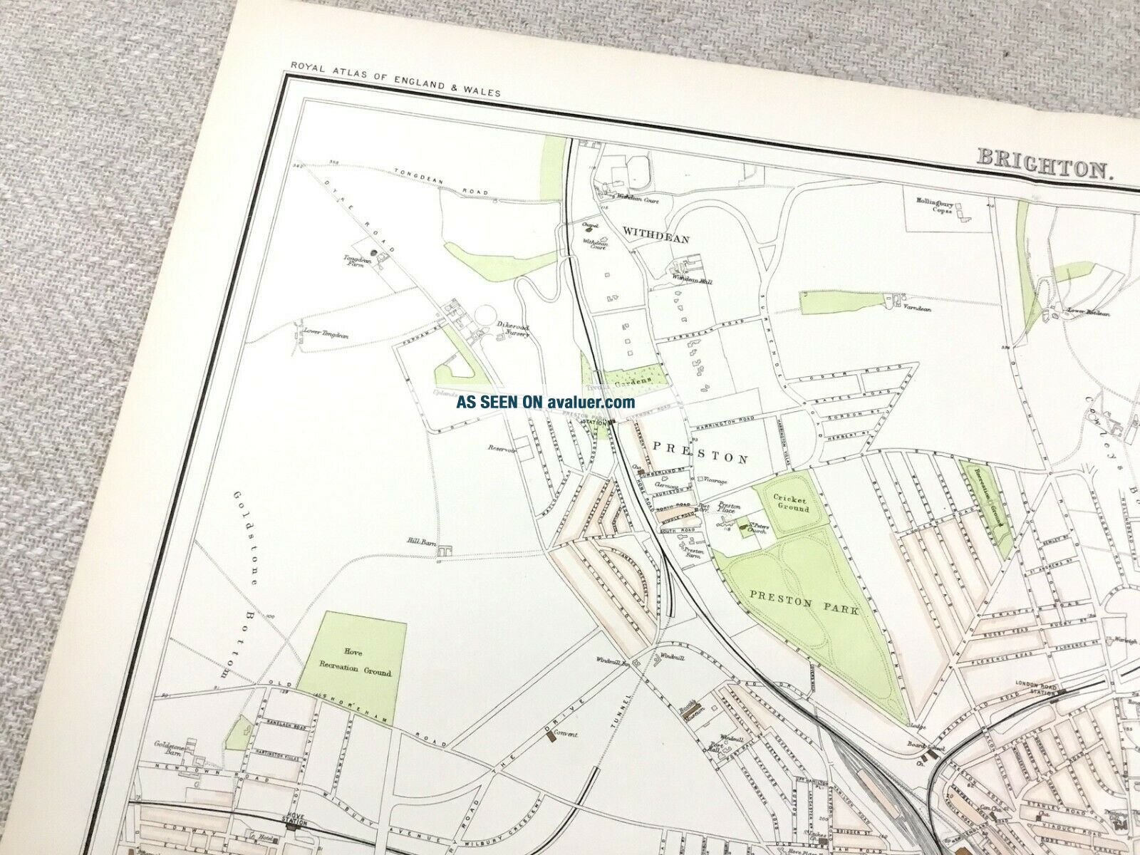
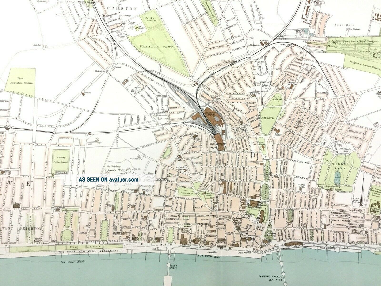
1890 Antique Map Of Brighton East Sussex Town Plan 19th Century


Item History & Price
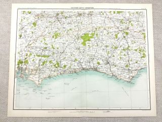
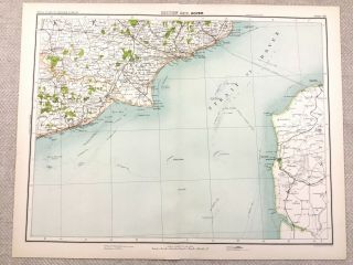
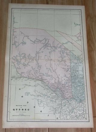
Original Antique A K Johnson's 'Royal Atlas' Folio Map Published by John Bartholomew , London, 1890
DATE PRINTED: 1890s - Map itself is undated.
MAP SIZE WHEN UNFOLDED: Approx 18" x 14.25" Inches
TYPE: Antique map Litho Map.
CONDITION: Great condition, perfectly suitable for framing, Given the fact this map is over 128 years old, there are minor Signs of age marks yellowing and potential marks / spots / stains / foxing. Pre folded... and creased, Please review the outer edges, as this is where most of signs of age is likely to appear. Potentially some small aged tape repairs to some maps. You will receive the item pictured, so the pictures are integral to the condition report and listing. Please check the pictures for any blemishes prior to making your purchase. Virtually all antiquarian maps and prints are subject to some normal aging due to use and time. As the map is prefolded, all maps are shipped folded and flat for safe secure shipping. This is a folio map from the 1890s edition of the 'The Royal Atlas' This individual map is highly sought after, as a slightly earlier edition complete folio retails for around GBP 1400 /USD 1700 - see last picture for your own reference. So its competitively priced.
AUTHENTICITY: This is an authentic historic map, published at the date stated above. It is not a modern copy.
VERSO: There is nothing printed on the reverse side, which is plain
ARTIST/CARTOGRAPHER/ENGRAVER:
PROVENANCE: JOHNSTON (Alexander Keith) Published by John Bartholomew & Later Blackwood & Co Edinburgh and London (1890)