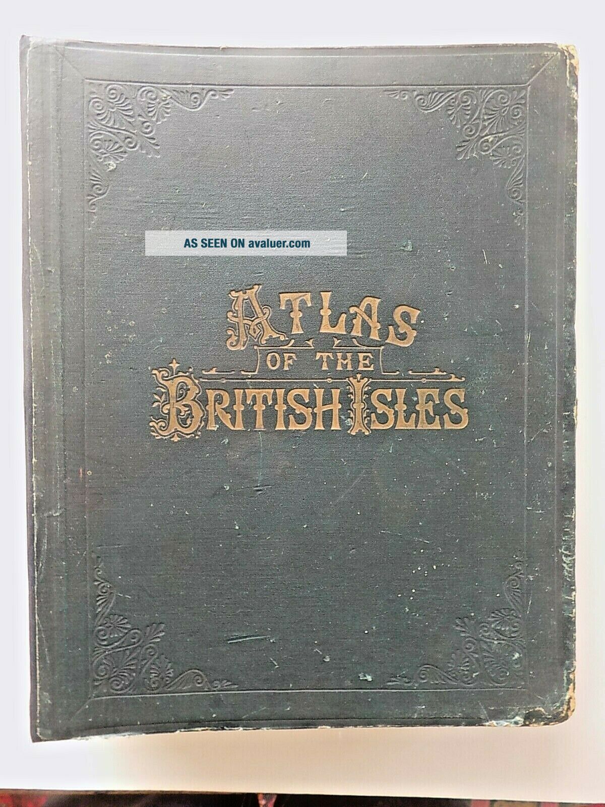
1898 Bacon Atlas British Isles Complete 109 Town Plans County Maps SCARCE
Item History & Price
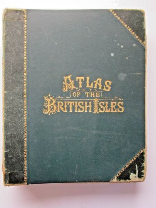
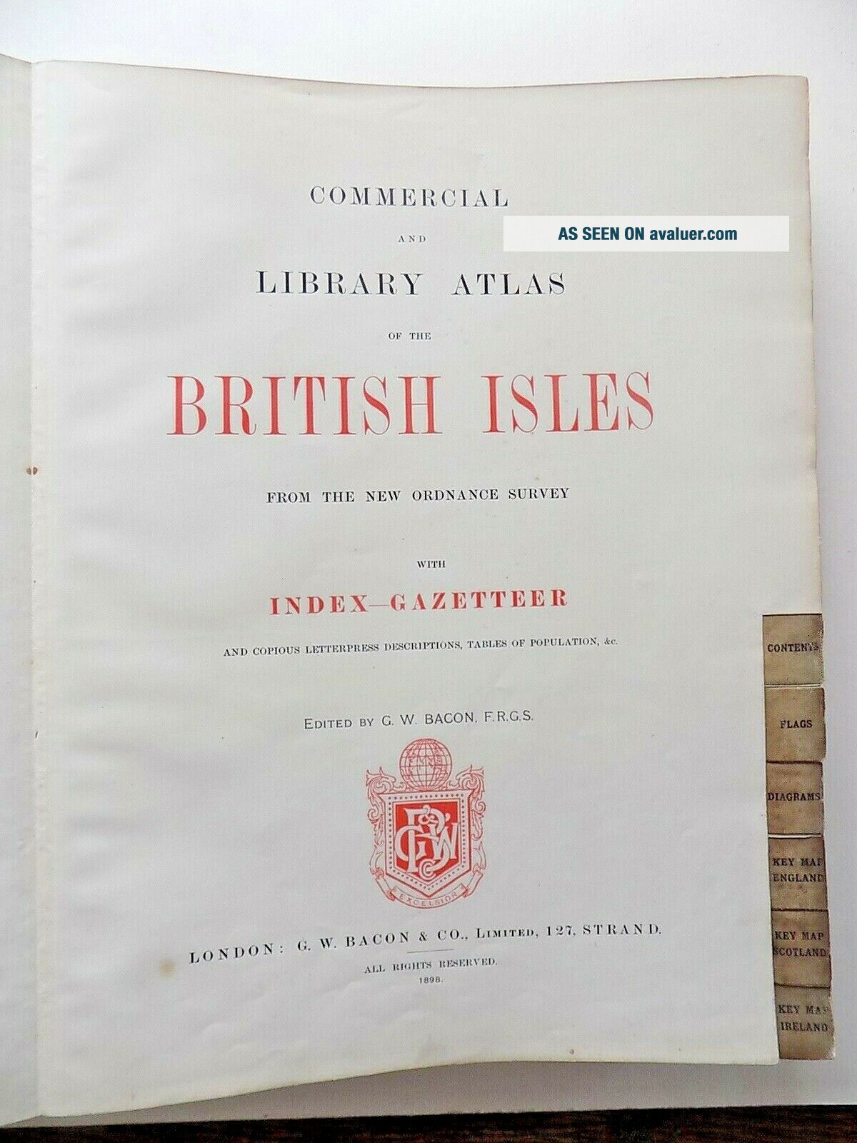
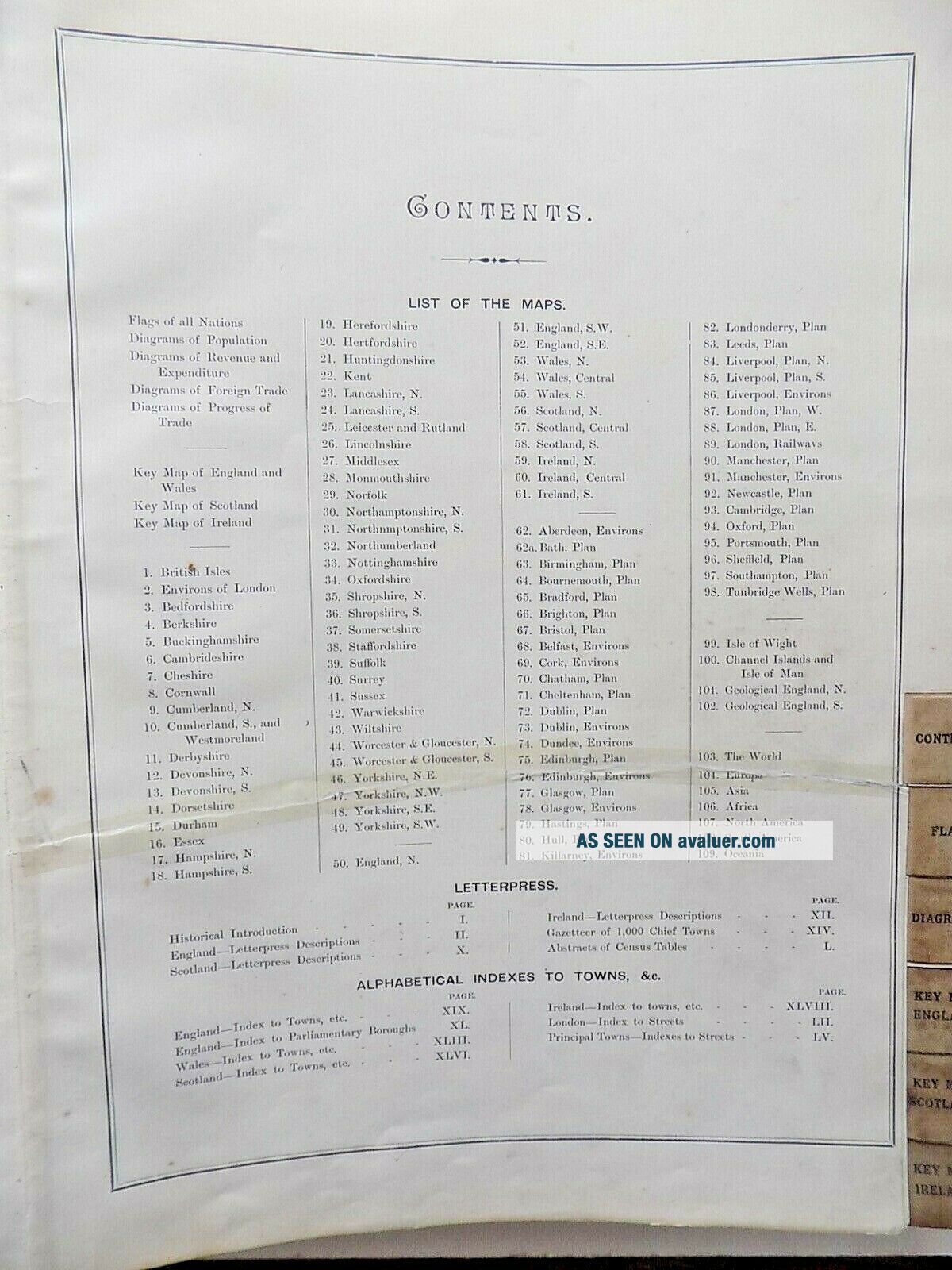
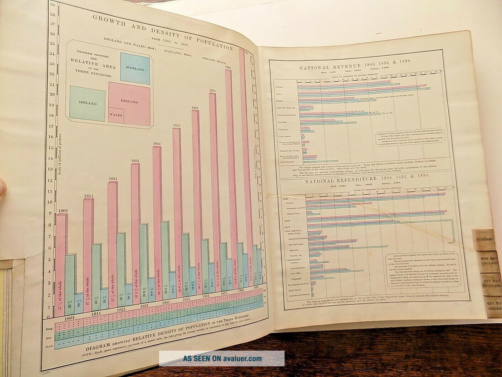
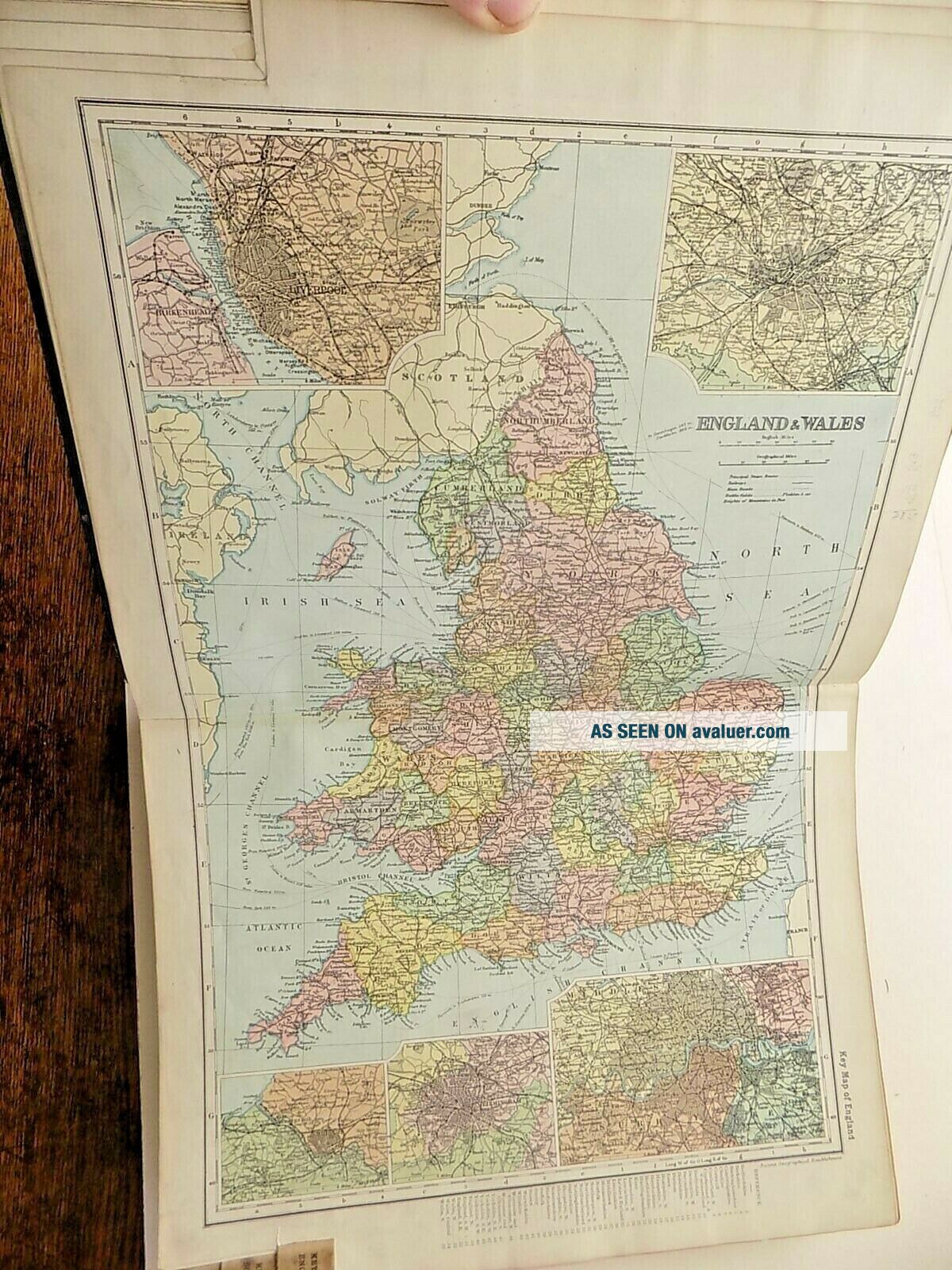
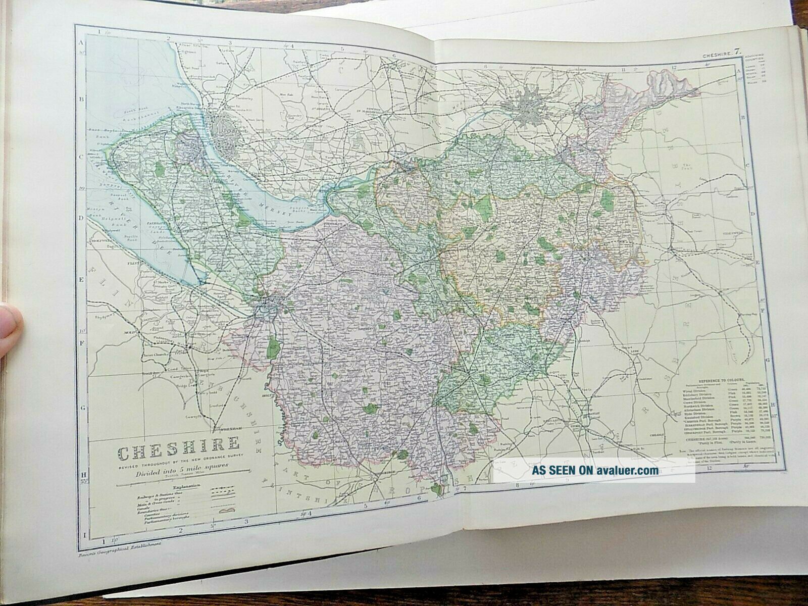
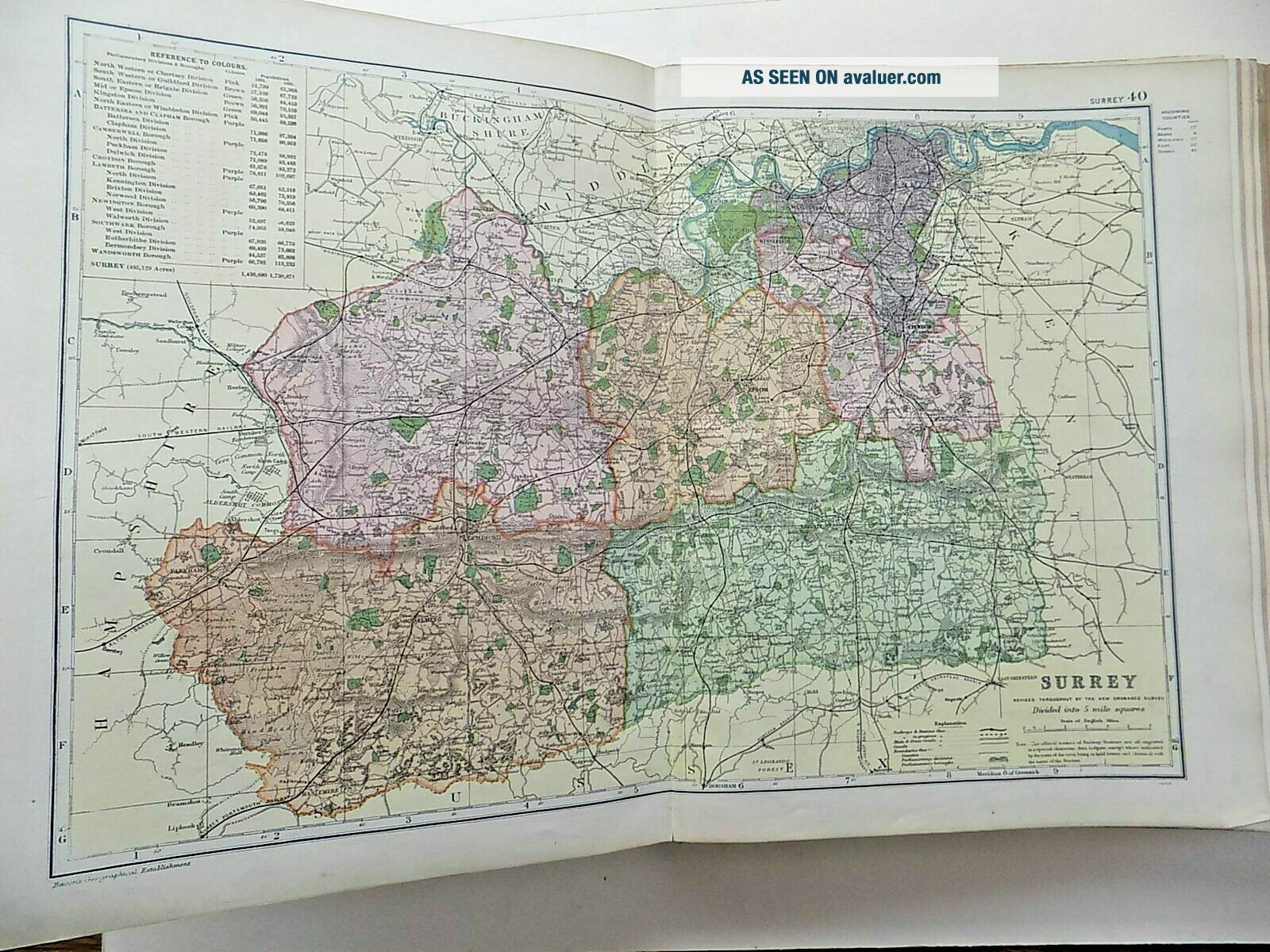
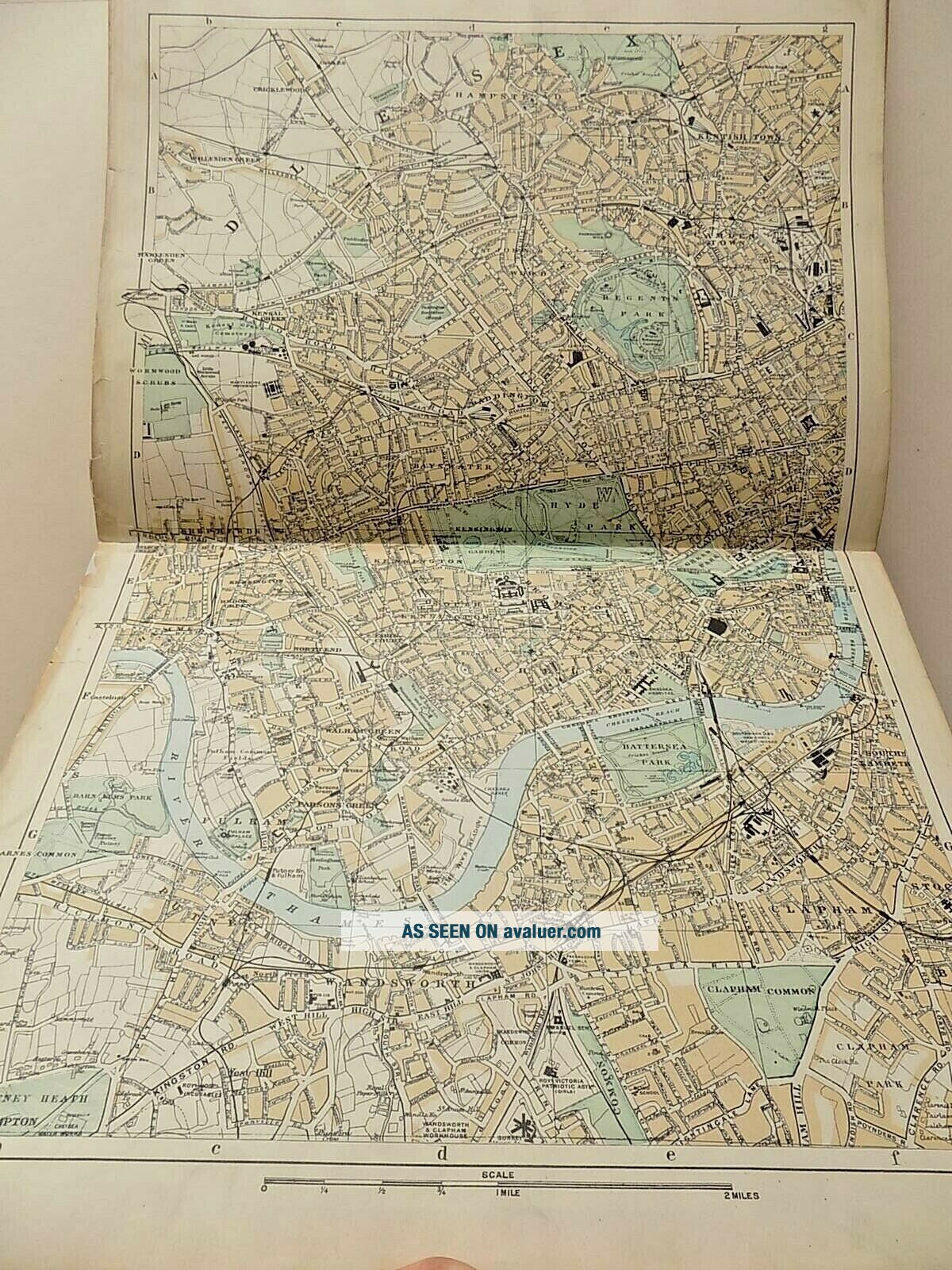
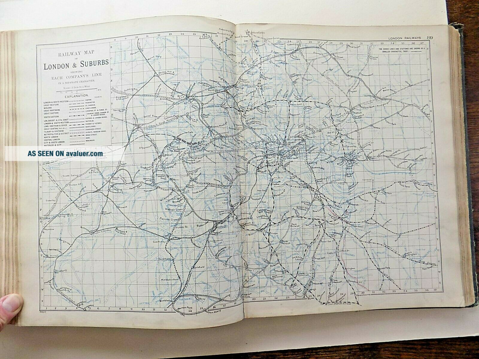
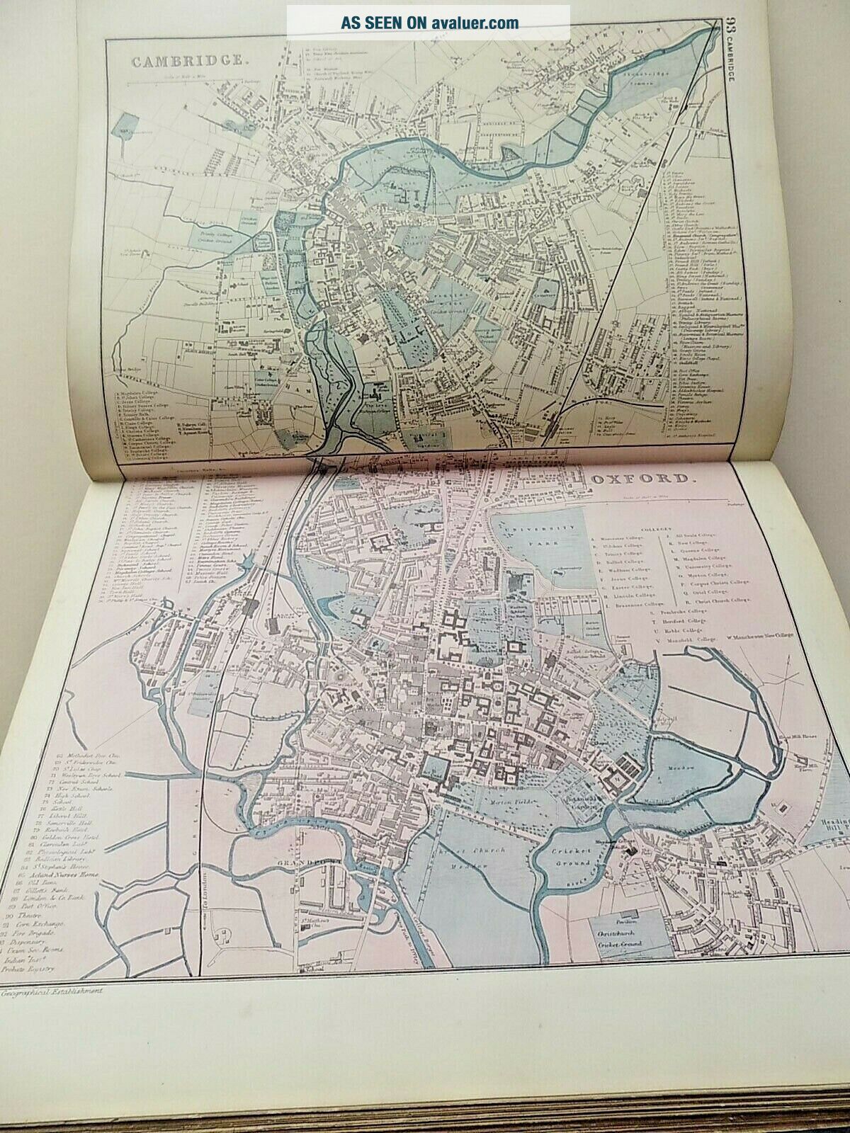
"Commercial and Library Atlas of the British Isles, from the New Ordnance Survey, with Index - Gazetteer and copious letterpress Descriptions, Tables of Population, &c. Edited by GW Bacon, FRGS. London: GW Bacon & Co., Ltd. 127, Strand.....1898."A superb late 19th century Atlas, mainly of the British Isles, though maps 103 - 109 are maps of the World - Asia, North America, South America, etc. Issued in 1898. With maps of each of the Home Nations (including Eire, which was... part of Great Britain then, of course), 47 English County Maps, and 36 detailed Town Plans of England, Scotland and Ireland (Wales is badly served for town plans, but is depicted in detail with 3 maps).
A scarce Atlas now as many have been broken by dealers in the past, and the maps sold individually. You can find many of these for sale online, but there are very few complete atlases.
A fine record of the Country, as it was at the end of the Victorian era.
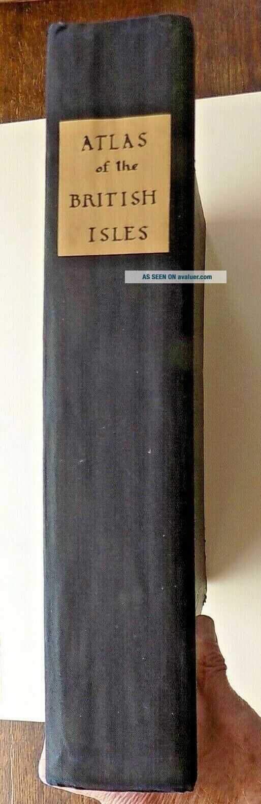
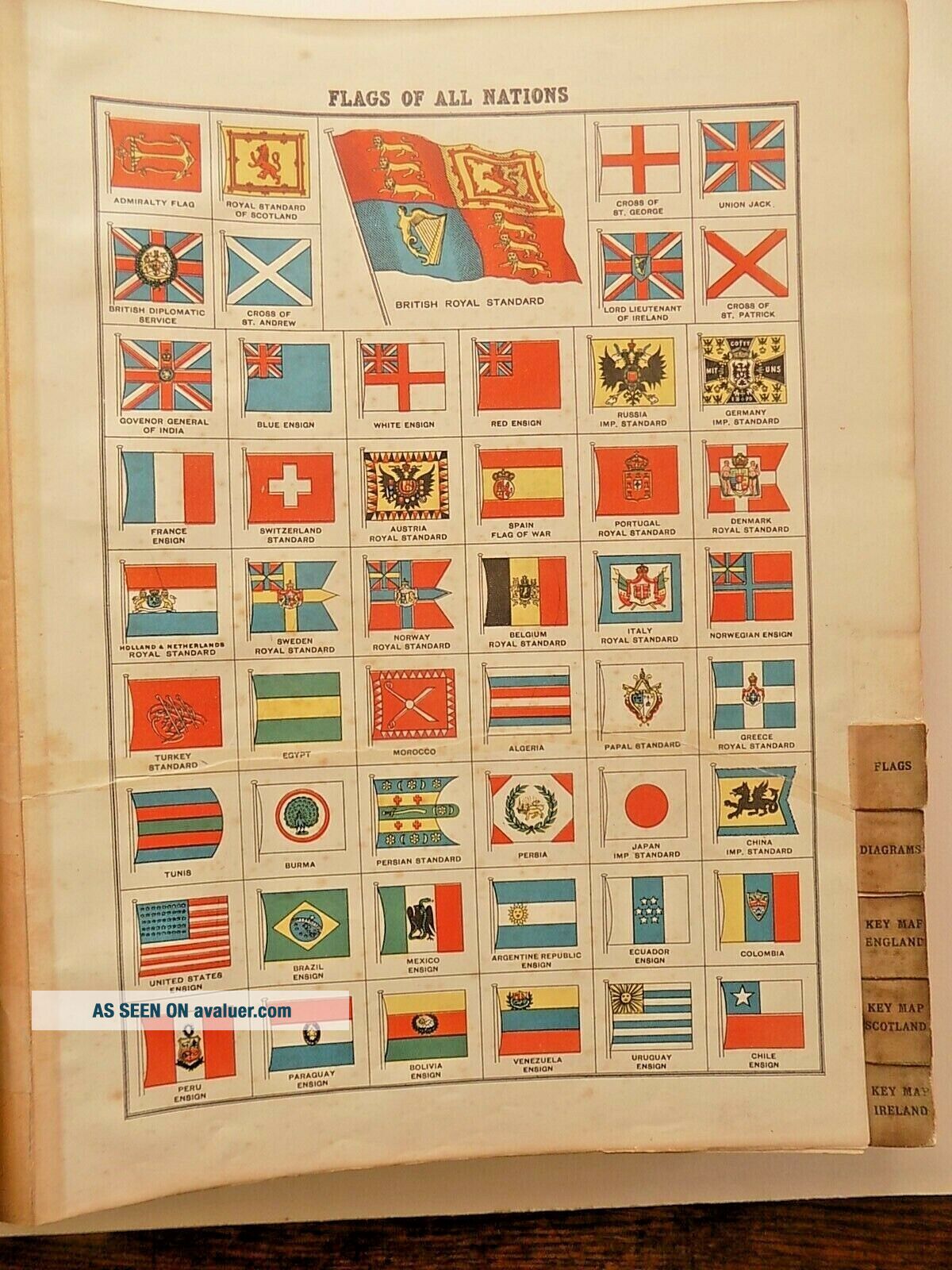
Size: the covers measure approx. 36cms x 29cms.Condition: The atlas has been rebound using the old boards, but with a new spine, handwritten label, etc. Covers a little bumped and marked but very acceptable and all working well. Original endpapers a little grubby, Slightly crude tape repair to the contents page and Flags (see photos), but generally all the maps and town plans are in a good condition. The atlas is complete, as per the Contents list.
Free postage within the UK using a courier service, for which I will need the purchaser's phone number. £15.00 to Europe, £25.00 to USA etc.I have other antique maps, books, prints etc. in my ebay shop - please see my other items.
A scarce Atlas now as many have been broken by dealers in the past, and the maps sold individually. You can find many of these for sale online, but there are very few complete atlases.
A fine record of the Country, as it was at the end of the Victorian era.
Size: the covers measure approx. 36cms x 29cms.Condition: The atlas has been rebound using the old boards, but with a new spine, handwritten label, etc. Covers a little bumped and marked but very acceptable and all working well. Original endpapers a little grubby, Slightly crude tape repair to the contents page and Flags (see photos), but generally all the maps and town plans are in a good condition. The atlas is complete, as per the Contents list.
Free postage within the UK using a courier service, for which I will need the purchaser's phone number. £15.00 to Europe, £25.00 to USA etc.I have other antique maps, books, prints etc. in my ebay shop - please see my other items.