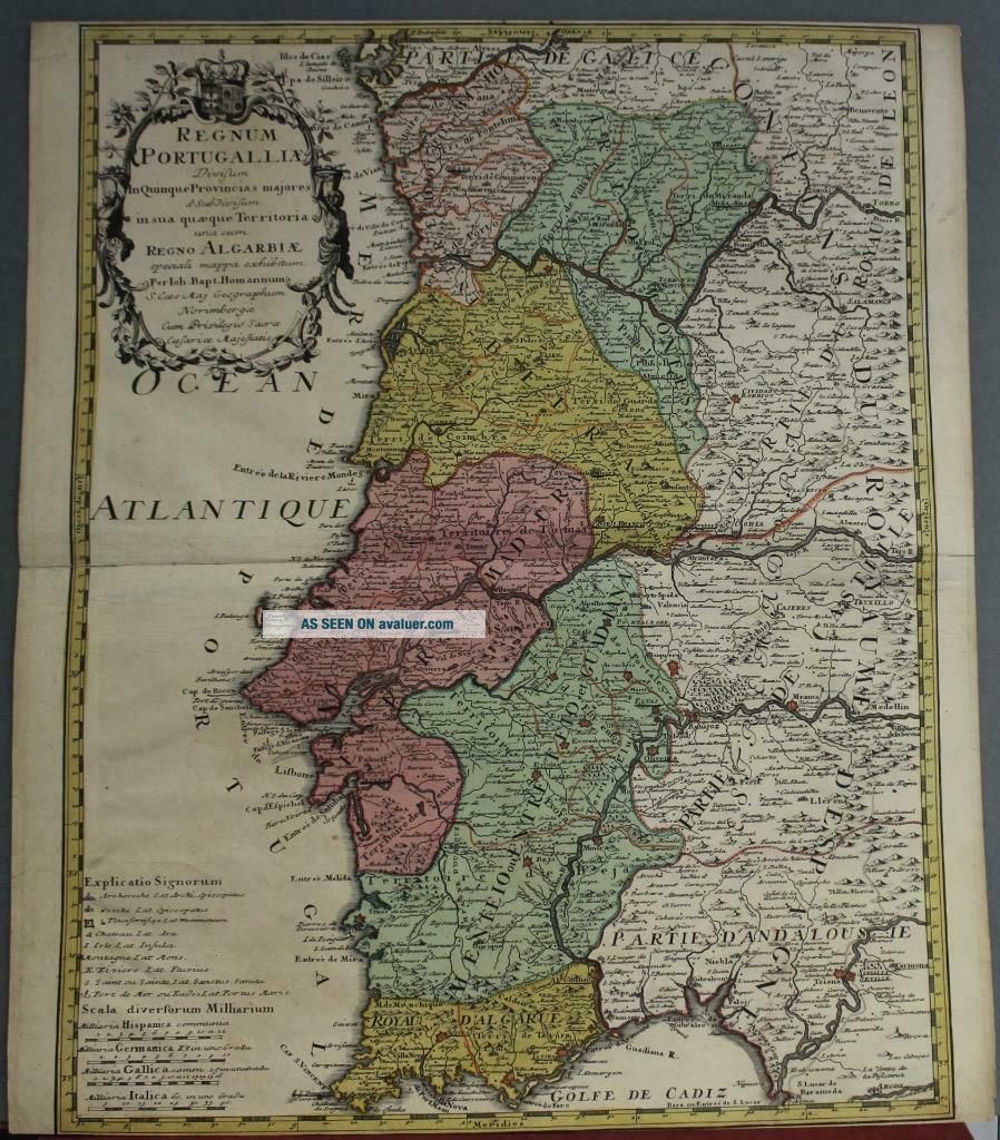
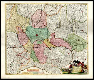
PORTUGAL 1736 JOHANN BAPTIST HOMANN ANTIQUE COPPER ENGRAVED MAP
Item History & Price
PORTUGAL 1736 JOHANN BAPTIST HOMANN ANTIQUE ORIGINAL COPPER ENGRAVED MAP

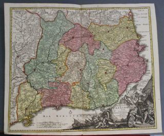
Catalonia Spain 1728 Johann Baptist Homann Antique Copper Engraved Map
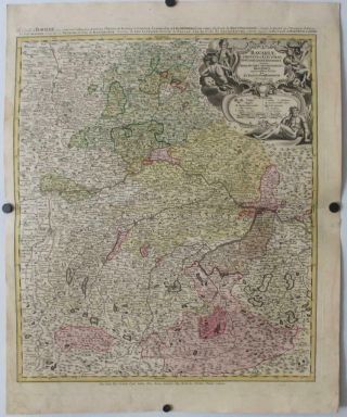
Bavaria Germany 1728 Johann Baptist Homann Antique Copper Engraved Map
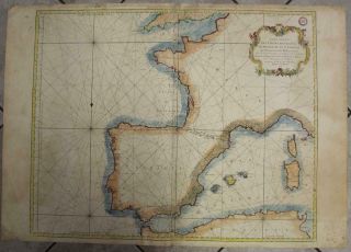
Spain Portugal & France 1771 Bellin Wall Antique Copper Engraved Sea Chart
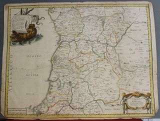
Northern Portugal 1654 Nicolas Sanson Unusual Antique Copper Engraved Map
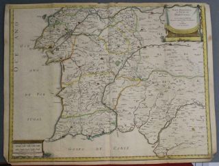
Southern Portugal 1654 Nicolas Sanson Unusual Antique Copper Engraved Map
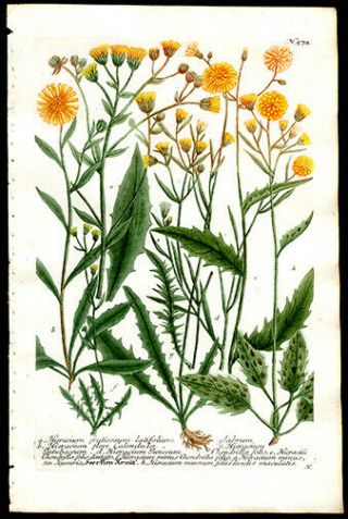
1736 Johann Weinmann Hand - Colored Copper Plate Engraving Hawkweed Sunflower
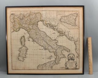
1742 Antique 18thc Hand Colored Italy Map Engraving Johann Baptist Homann Heirs
1702 Johann Baptist Homann Engraved Hand - Colored Of Northern Italy Cartouche

Hungary & Romania 1579 (1584) Ortelius Unusual Antique Copper Engraved Map

Brussels Bruxelles Belfium 1777 De Ferraris & Dupuis Large Antique Map Sheet Xxi

1616 Atlas Map Of Iceland.

Kazan Russia 1767 Le Clerc/lespinasse Antique Copper Engraved City View

1899 Stanford, Folding Map Of Norwich, Norfolk, Arthur Collins, Jarrold & Sons,

1948 Vintage Linen Colour Map Geological Survey Ten Mile Of Great Britain

1944 Map Flying Bombs Sussex Ww2 Newspaper Military Kent Courier German V1 V2

Dated 1638 Vellum Map Of Icklesham Sussex Showing Land Uses Owners Etc