Vintage Admiralty Chart 2806 USA - CHARLESTON HARBOUR 1914 Edn
Item History & Price
| Reference Number: Avaluer:15480 | Original/Reproduction: Antique Original |
| Year: 1914 | Format: Sheet Map |
| US State: South Carolina | Type: Nautical Map |
| City: Charleston |
MARINE CHART SERVICESThe Worlds largest supplier of quality used genuine Admiralty charts Combined postage discounts - pay the full price & we will refund the overspend
Visit our eBay shopfor over 625Vintage Admiralty & French Charts
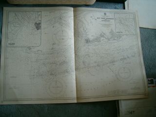
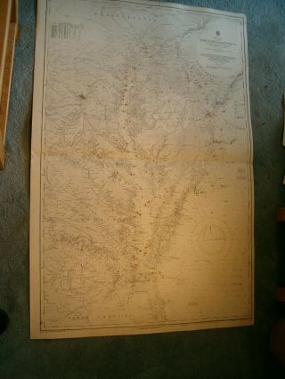
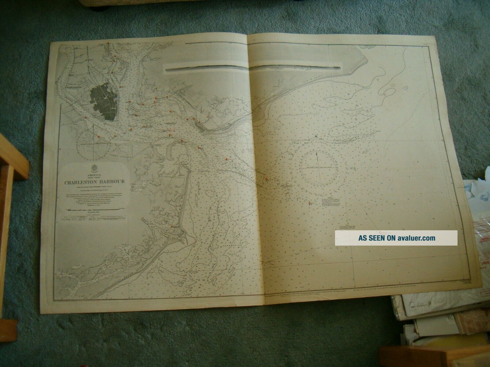
VINTAGE BRITISH ADMIRALTY CHART NO. 2806 AMERICA - EAST COAST
CHARLESTON HARBOUR
Scale 1:30, 250 1914 editionwith printed corrections to 1917 UNUSED GENUINE 1...02 YEARS OLDNICE DETAILS & 1 SKETCH VIEW
Size 25 x 38 inches Will be posted in a tube PLEASE NOTE - We require payment within 2 days of 'buy-it-now' If you are unable to pay within these times, you MUST LET US KNOW otherwise we may take action against against you. We aim to despatch most items within 2 working days of your payment (or final payment) clearing. We will offer a reduced carriage charge for multiple items sent in one parcel but only where you wait for us to send a combined-item invoice (This includes items from Ebay and from our own website, sent in one consignment) MARINE CHART SERVICES POSTAGE for multiple purchases :- 100% carriage charge on first item, or on heaviest item then 25% of carriage charges for each extra item Further reductions for 11 items or more in some cases If you opt to pay the 'transit insurance' and this item becomes lost in the postal system, we will either refund or replace it if the original is not found. If you prefer not to pay this insurance, then the item is sent at your risk Delivery to MALTA & MAURITIUS by insured service only Seller is not responsible for transit time or transit delays. Once item has been posted we have no control over it
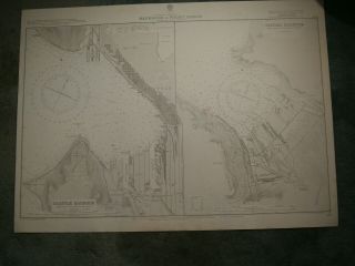
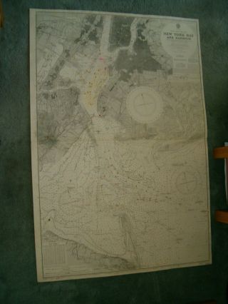
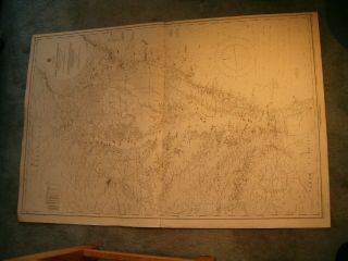
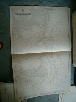
Photo is of a similar chart & is for illustration purposes only Please check back regularly for other marine items for sale
Visit our eBay shopfor over 625Vintage Admiralty & French Charts
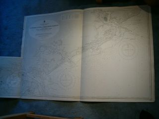
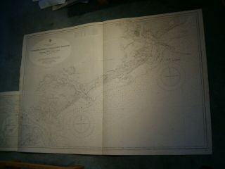
VINTAGE BRITISH ADMIRALTY CHART NO. 2806 AMERICA - EAST COAST
CHARLESTON HARBOUR
Scale 1:30, 250 1914 editionwith printed corrections to 1917 UNUSED GENUINE 1...02 YEARS OLDNICE DETAILS & 1 SKETCH VIEW
Size 25 x 38 inches Will be posted in a tube PLEASE NOTE - We require payment within 2 days of 'buy-it-now' If you are unable to pay within these times, you MUST LET US KNOW otherwise we may take action against against you. We aim to despatch most items within 2 working days of your payment (or final payment) clearing. We will offer a reduced carriage charge for multiple items sent in one parcel but only where you wait for us to send a combined-item invoice (This includes items from Ebay and from our own website, sent in one consignment) MARINE CHART SERVICES POSTAGE for multiple purchases :- 100% carriage charge on first item, or on heaviest item then 25% of carriage charges for each extra item Further reductions for 11 items or more in some cases If you opt to pay the 'transit insurance' and this item becomes lost in the postal system, we will either refund or replace it if the original is not found. If you prefer not to pay this insurance, then the item is sent at your risk Delivery to MALTA & MAURITIUS by insured service only Seller is not responsible for transit time or transit delays. Once item has been posted we have no control over it
Photo is of a similar chart & is for illustration purposes only Please check back regularly for other marine items for sale