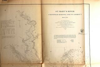
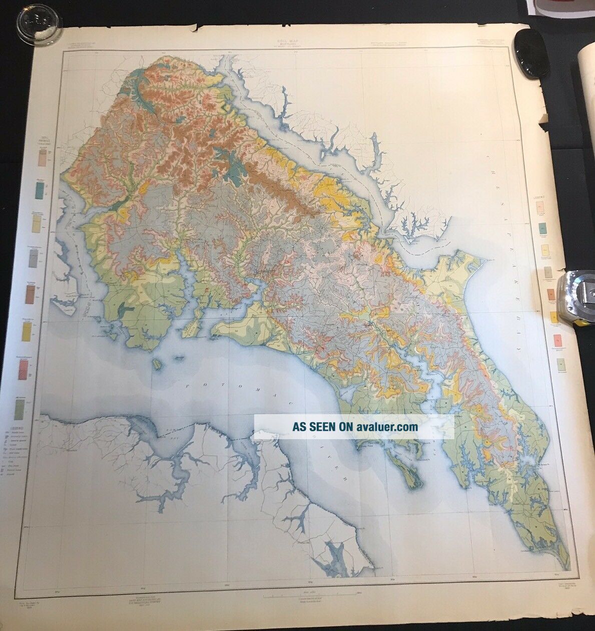
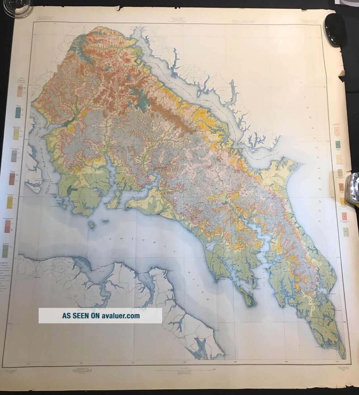
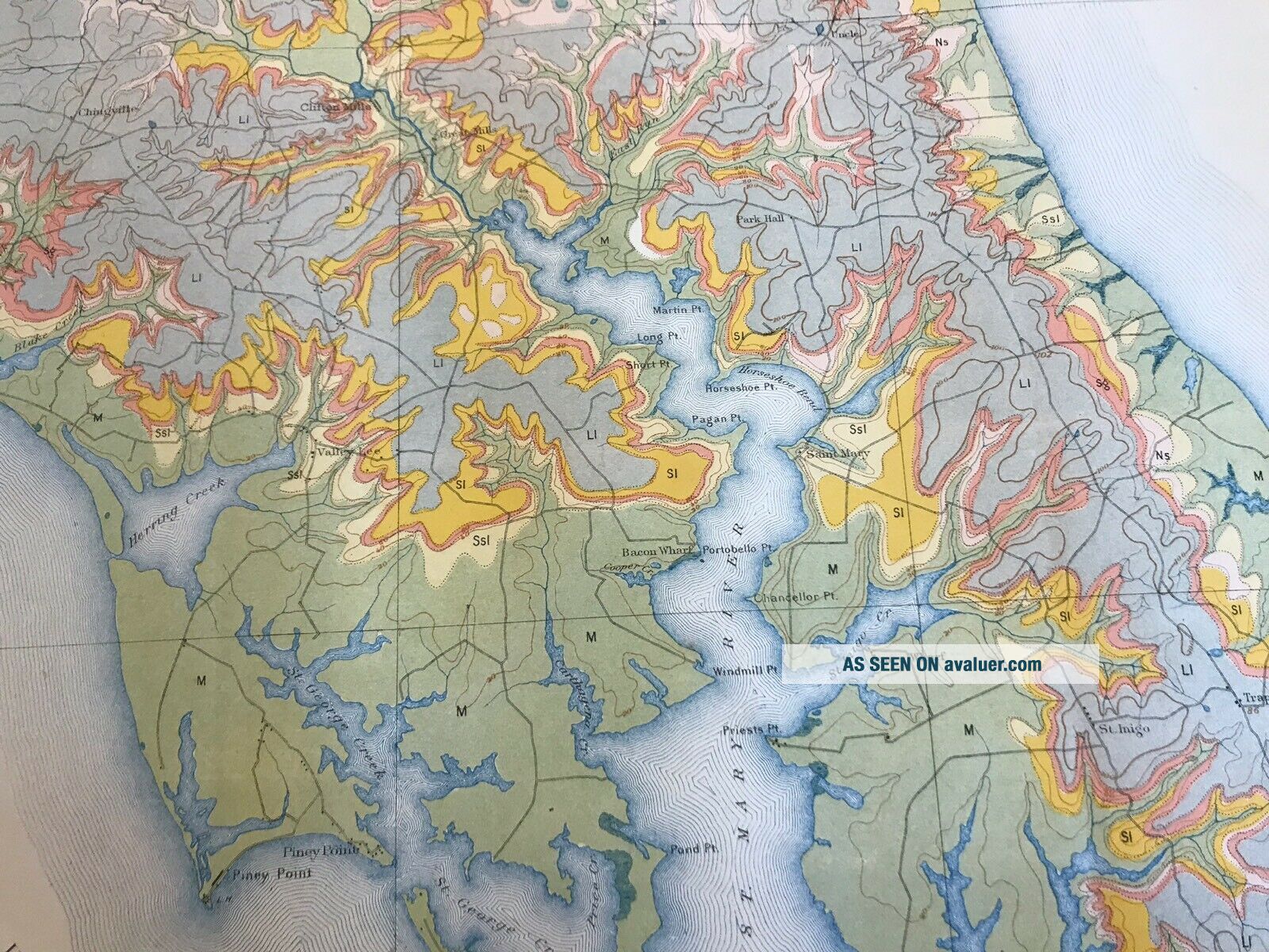
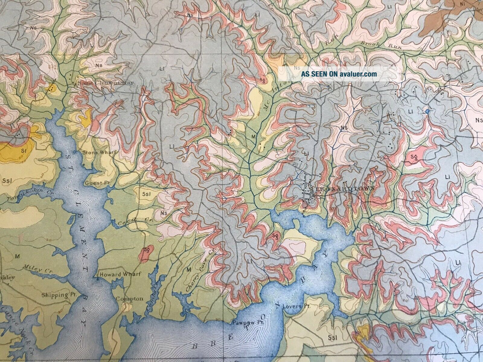
Antique Wall Size Map St. Mary’s County Maryland 1901 Soil Survey 35 X 38 In.


Item History & Price

Information:
Reference Number: Avaluer:15488US State: Maryland
Original Description:
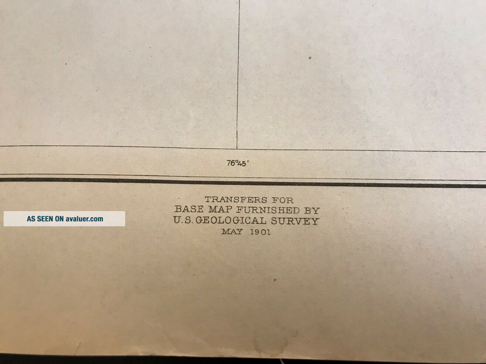
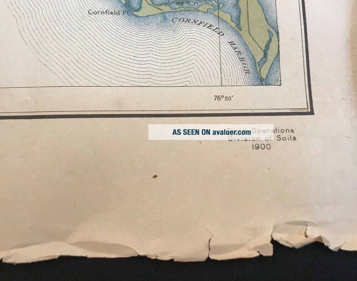
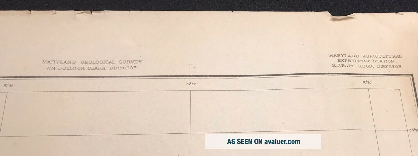
Dated 1901 soil survey map of St. Mary’s County Maryland . Printed by A. Hoen and Co. Baltimore. Sheet measures 35  by 38 inches. Edge tears and edge roughness. Part of a hoard of maps I bought thirty eight years ago . I have about a dozen duplicates of this map. Free US shipping or pick up in my shop in Baltimore. Actual old maps, not worthless giclees.


    Similar items


  • 1859 Coastal Survey Map – St Mary’s River Cornfield Harbor – Maryland

    1859 Coastal Survey Map – St Mary’s River Cornfield Harbor – Maryland

  • Antique Letter 1887 Baxter St.  Mary

    Antique Letter 1887 Baxter St. Mary ' S Elk County Pennsylvania Cover Stamp Cancel

  • Handwritten Ledger General Store St.  Mary’s County Maryland 1911 - 1914 Antique

    Handwritten Ledger General Store St. Mary’s County Maryland 1911 - 1914 Antique

  • 1940

    1940 ' S Army Topographic Map St Mary ' S City Maryland - Sheet 5760 Iii Nw

  • 1903 Maryland Geological Survey - St.  Mary

    1903 Maryland Geological Survey - St. Mary ' S County Atlas, 3 Large County Maps

  • 1996 Colonial Settlers Genealogy St.  Mary

    1996 Colonial Settlers Genealogy St. Mary ' S County Maryland Maps Prints Gift

  • Antique Postcard Kansas Newton St.  Mary

    Antique Postcard Kansas Newton St. Mary ' S Catholic Church Parochial School 1914

  • Antique Postcard C1905 - 07 St.  Mary

    Antique Postcard C1905 - 07 St. Mary ' S Church Pawtucket, Ri (21269)


    • You might also like


    • 1860 Mitchell Hand Colored Map Colorado,  Nebraska & Kansas - Civil War Era

      1860 Mitchell Hand Colored Map Colorado, Nebraska & Kansas - Civil War Era

    • 18th Century French Map Of North America

      18th Century French Map Of North America

    • Las Vegas Nevada Vintage 1967 Us Geological Survey Quadrangle Map 4 Panels

      Las Vegas Nevada Vintage 1967 Us Geological Survey Quadrangle Map 4 Panels

    • Rare Antique 1845 Maps United States Exploring Expedition Book Antartica Hawaii

      Rare Antique 1845 Maps United States Exploring Expedition Book Antartica Hawaii

    • Vintage 1926 Map Hollywood From The Best Surveys Of The Time

      Vintage 1926 Map Hollywood From The Best Surveys Of The Time

    • American Continent (western Hemisphere) 1747 Bowen Antique Copper Engraved Map

      American Continent (western Hemisphere) 1747 Bowen Antique Copper Engraved Map

    • Gulf Coast Florida Texas United States 1705 De Fer Unusual Antique Engraved Map

      Gulf Coast Florida Texas United States 1705 De Fer Unusual Antique Engraved Map

    • California As Island United States 1700 De Fer Unusual First Edition Antique Map

      California As Island United States 1700 De Fer Unusual First Edition Antique Map

Avaluer          About Us          Privacy Policy          Contact Us          UP
© 2022, avaluer.net, Inc. or its affiliates