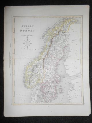
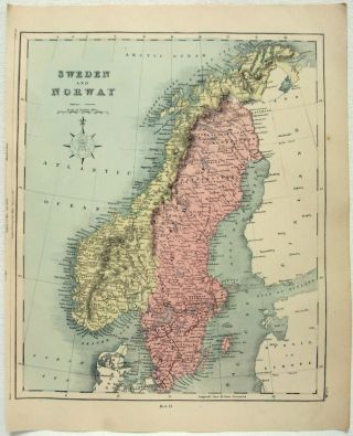
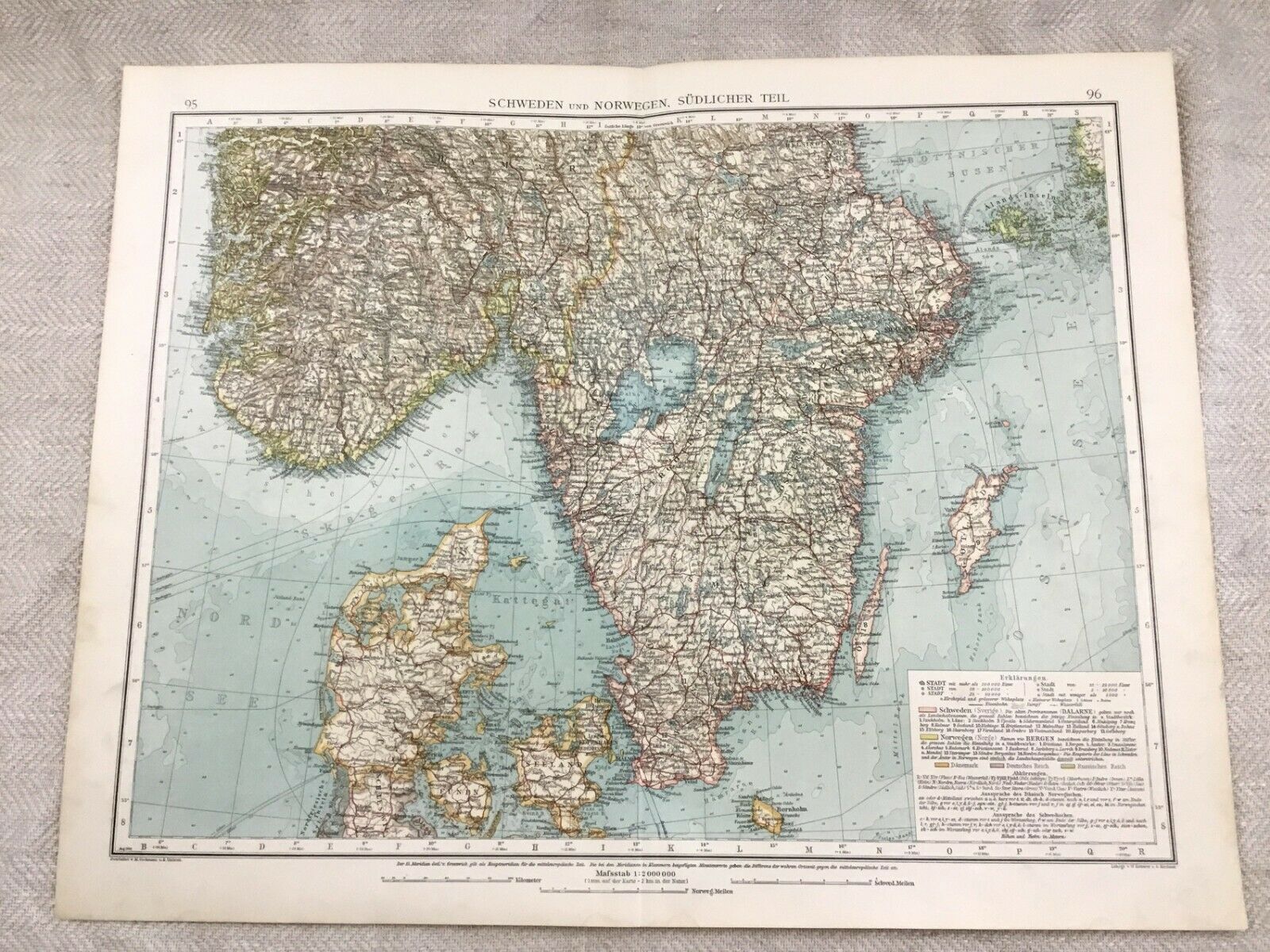
1899 Antique Map Of Sweden Norway Scandinavia 19th Century GERMAN


Item History & Price
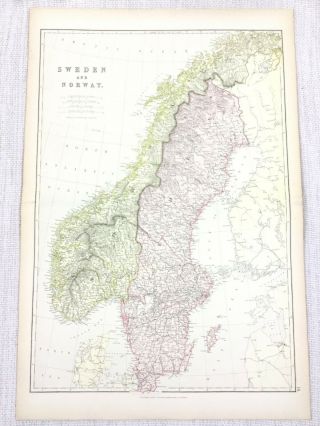
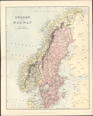
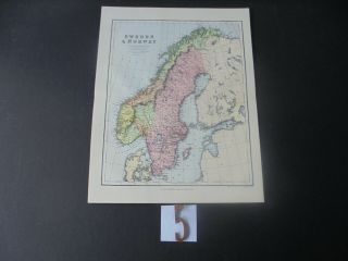
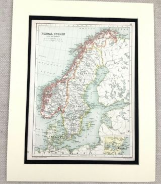
Original Antique German Edition 'Andree Handatlas' Folio Map Published by Bielefeld; Leipzig: Velhagen & Klasing, 1899
DATE PRINTED:1899 - Map itself is undated.
MAP SIZE WHEN UNFOLDED: Approx Approx 55cm x 43cm
TYPE: Antique map Litho Map.
CONDITION: Good condition, perfectly suitable for framing, Given the fact this map is over 120 years old, there are minor Signs of age marks yellowing and potential marks / spots / stains / foxing. Pre ...folded and creased, Please review the outer edges, as this is where most of signs of age is likely to appear. Potentially some small aged tape repairs to some maps. You will receive the item pictured, so the pictures are integral to the condition report and listing. Please check the pictures for any blemishes prior to making your purchase. Virtually all antiquarian maps and prints are subject to some normal aging due to use and time. As the map is prefolded, all maps are shipped folded and flat for safe secure shipping. This is an elephant folio map from the 1899 edition of the 'Andrees Allgemeiner Handatlas' As its was published in Berlin, all text is in German.
AUTHENTICITY: This is an authentic historic map, published at the date stated above. It is not a modern copy.
VERSO: Some Maps have a title / reference printed on the back - see pictures for confirmation - you will receive the item pictured.
ARTIST/CARTOGRAPHER/ENGRAVER: Published by Velhagen & Klasing, Bielefeld (1899)
PROVENANCE:
Andrees Allgemeiner Handatlas was a major cartographic work published in several German and foreign editions 1881 - 1937. It was named after Richard Andree (1835-1912) and published by Velhagen & Klasing, Bielefeld and Leipzig, Germany. By using chromolithography, rather than copper plate engraving, but reproducing the maps from zinc plates that were etched in relief (just like letterpress printing), V & K was able to offer detailed maps at a much lower price than competing works, such as the 7th and 8th editions of Stielers Handatlas.