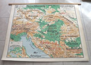
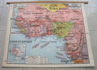
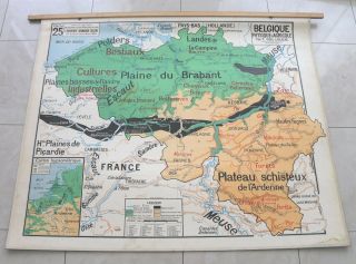
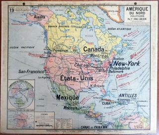
P Vidal - Lablache Vintage School Map. No. 27 Germany/Austria/Poland. (1mx1m20).


Item History & Price
| Reference Number: Avaluer:15850 |
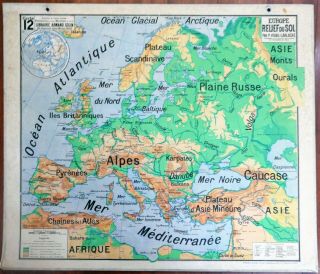
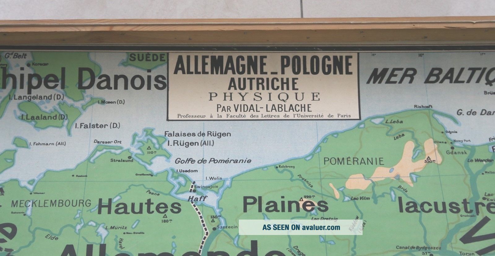
Vidal Lablache Vintage School Map.
No.27 Germany, Austria, Poland.
Approximately 1mx 1m20.
Good general condition. See photos.Browning + minor stains.The top part needs flattening.
The wooden bar has been removed and there are faint nail holes.
£20 postage Europe.£54 postage outside Europe.