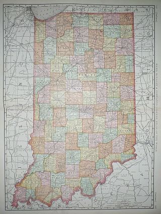
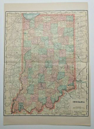
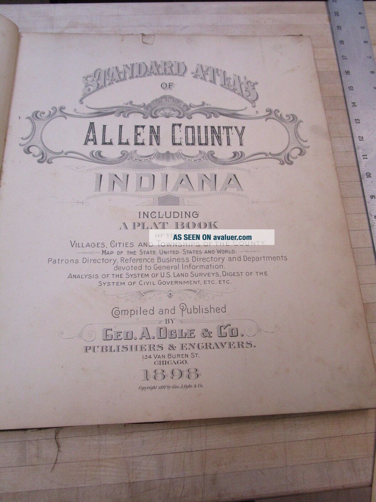
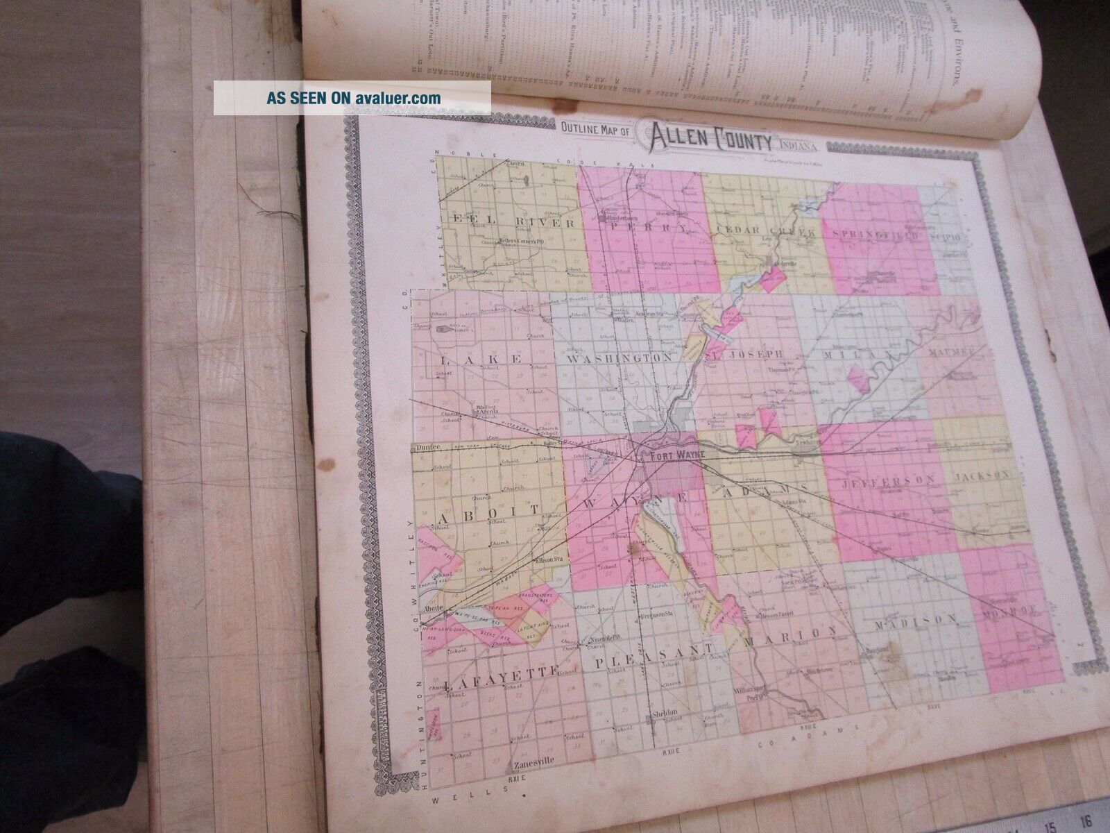
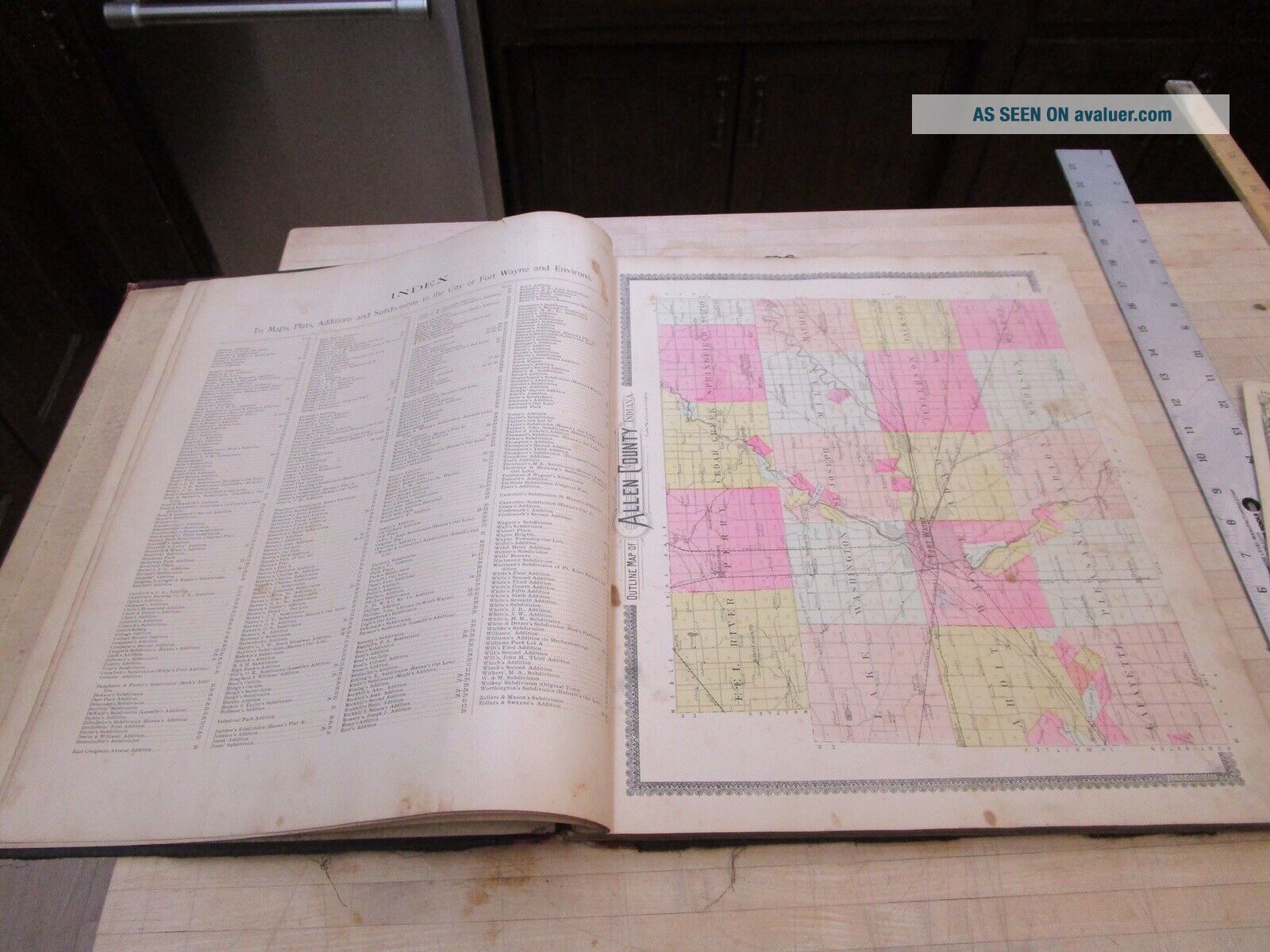
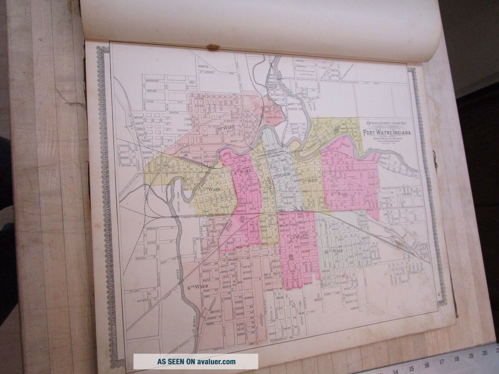
Vintage 1898 Allen County INDIANA Atlas Map Old Antique Ogle, Map


Item History & Price

Information:
Reference Number: Avaluer:16060Year: 1898
Original/Reproduction: Antique OriginalFormat: Atlas Map
Date Range: 1800-1899Type: 1898 Atlas Map
Features: VintagePublication Year: 1898
Country/Region: American States & Territories
Original Description:
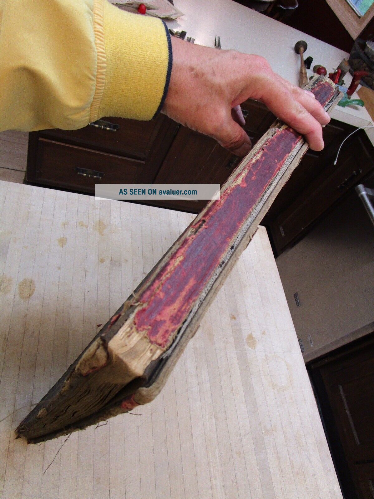
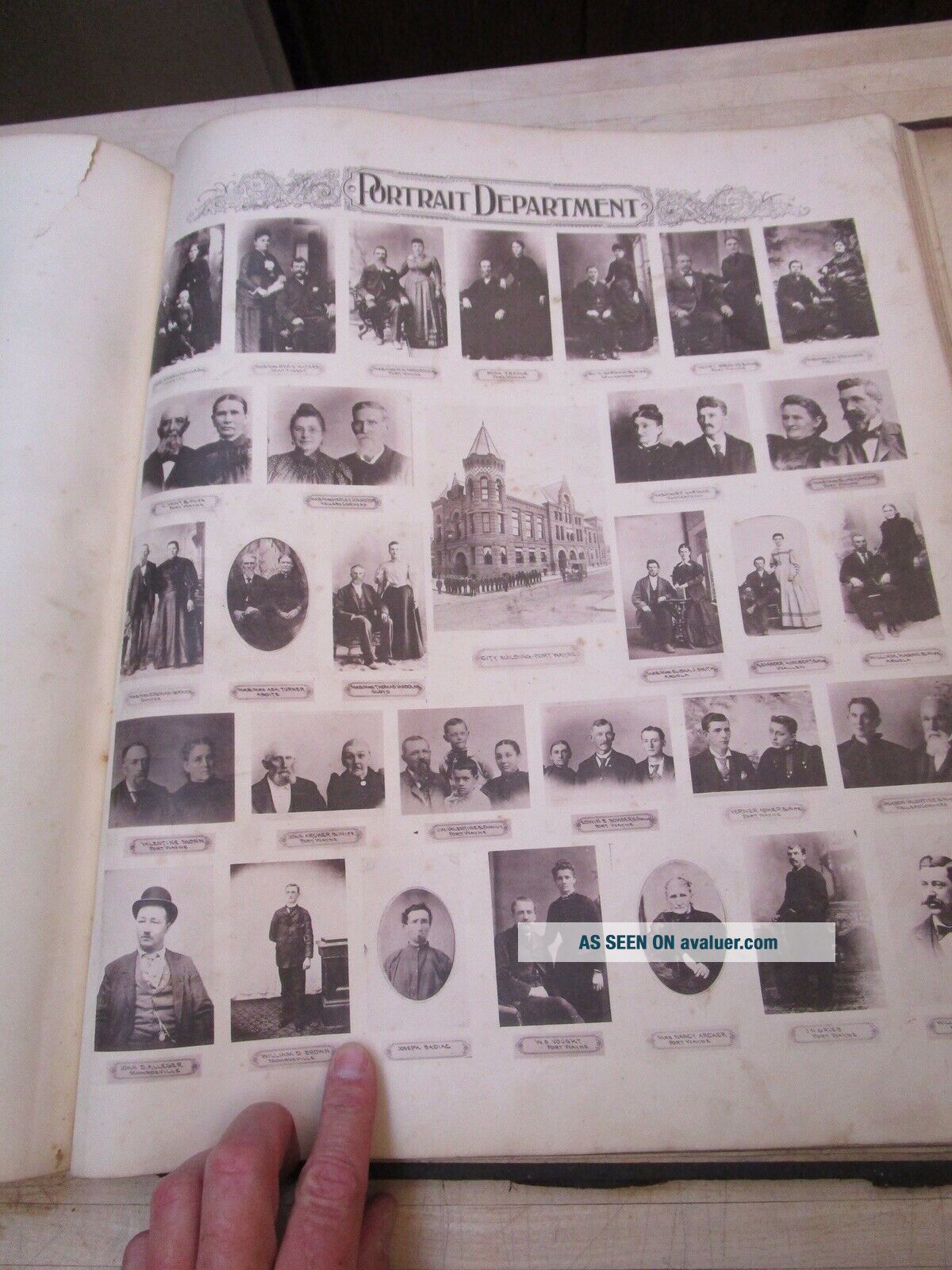
As found see pictures complete but shows ware some tears and stains, pages with ragged edges in some of pictures are extra loose pages from different atlas.Vintage 1898 Allen County INDIANA Atlas Map ~ Old Antique Original Ogle, Map. Shipped with USPS First Class Package.


    Similar items


  • Vintage 1898 Indiana Atlas Map Old Antique - Large Map

    Vintage 1898 Indiana Atlas Map Old Antique - Large Map

  • Vintage 1968 Jennings County Indiana Atlas Plat Map Book - North Vernon,  Scipio

    Vintage 1968 Jennings County Indiana Atlas Plat Map Book - North Vernon, Scipio

  • Vintage 1894 Indiana Atlas Map Old Authentic Antique Encyclopedia Britannica

    Vintage 1894 Indiana Atlas Map Old Authentic Antique Encyclopedia Britannica

  • Vintage 1874 Sandusky County.  Ohio Atlas Maps,  Prints,  Engravings,  History

    Vintage 1874 Sandusky County. Ohio Atlas Maps, Prints, Engravings, History

  • Vintage 1868 Washington Dc - Capitol Atlas Map Old Antique 10119

    Vintage 1868 Washington Dc - Capitol Atlas Map Old Antique 10119

  • Vintage 1860

    Vintage 1860 ' S Cincinnati, Ohio Atlas Map Old Antique Atlas Map A3

  • Vintage 1860

    Vintage 1860 ' S Cincinnati, Ohio Atlas Map Old Antique Atlas Map A1

  • Vintage 1877 (dated) Wisconsin Geological Atlas Map Old Antique Lead Mining

    Vintage 1877 (dated) Wisconsin Geological Atlas Map Old Antique Lead Mining


    • You might also like


    • 1860 Mitchell Hand Colored Map Colorado,  Nebraska & Kansas - Civil War Era

      1860 Mitchell Hand Colored Map Colorado, Nebraska & Kansas - Civil War Era

    • 18th Century French Map Of North America

      18th Century French Map Of North America

    • Las Vegas Nevada Vintage 1967 Us Geological Survey Quadrangle Map 4 Panels

      Las Vegas Nevada Vintage 1967 Us Geological Survey Quadrangle Map 4 Panels

    • Rare Antique 1845 Maps United States Exploring Expedition Book Antartica Hawaii

      Rare Antique 1845 Maps United States Exploring Expedition Book Antartica Hawaii

    • Vintage 1926 Map Hollywood From The Best Surveys Of The Time

      Vintage 1926 Map Hollywood From The Best Surveys Of The Time

    • American Continent (western Hemisphere) 1747 Bowen Antique Copper Engraved Map

      American Continent (western Hemisphere) 1747 Bowen Antique Copper Engraved Map

    • Gulf Coast Florida Texas United States 1705 De Fer Unusual Antique Engraved Map

      Gulf Coast Florida Texas United States 1705 De Fer Unusual Antique Engraved Map

    • California As Island United States 1700 De Fer Unusual First Edition Antique Map

      California As Island United States 1700 De Fer Unusual First Edition Antique Map

Avaluer          About Us          Privacy Policy          Contact Us          UP
© 2022, avaluer.net, Inc. or its affiliates