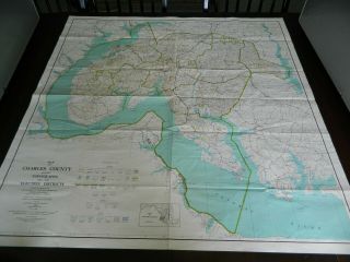
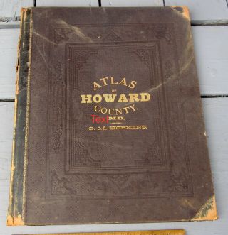
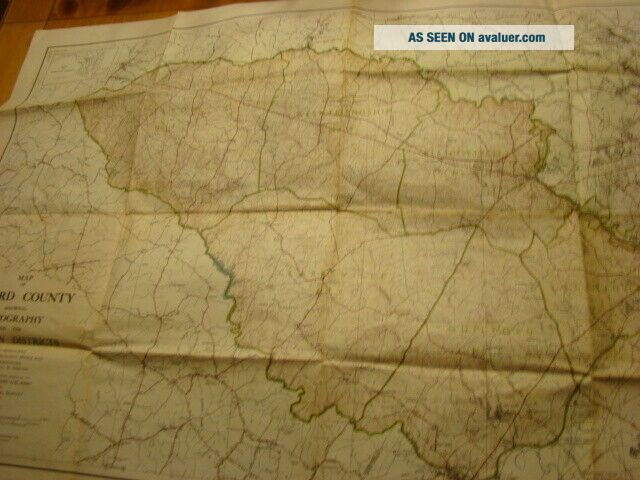
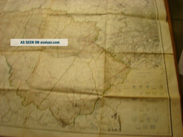
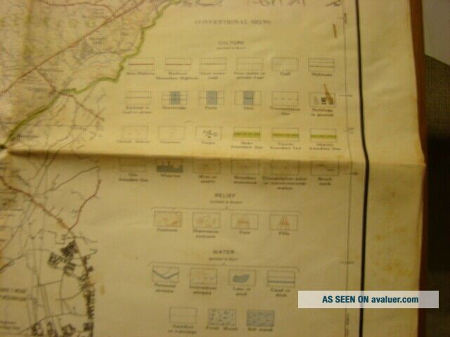
Vintage 1949 Howard County Maryland Map - Topography & Election Districts


Item History & Price

Information:
Reference Number: Avaluer:16092Topic: Maps
Year: 1949Original/Reproduction: Unknown
US State: MarylandType: County Map
City: Howard Co.
Original Description:
State of Maryland Dept.of Geology, Mines and Water Resources. Measures 24" X 36". Some discolor on creases and light soiling at framing. 


    Similar items


  • Vintage 1949 Orange County Road Map Automobile Club Of Southern California Acsc

    Vintage 1949 Orange County Road Map Automobile Club Of Southern California Acsc

  • Vintage 1950 Charles County Maryland Map Topo & Districts

    Vintage 1950 Charles County Maryland Map Topo & Districts

  • Washington Dc North Montgomery & Howard Counties Maryland Aaa 2000 - 2001 Map

    Washington Dc North Montgomery & Howard Counties Maryland Aaa 2000 - 2001 Map

  • The Flood Of 1972 Howard County Maryland,  The Times Newspaper Vintage Booklet

    The Flood Of 1972 Howard County Maryland, The Times Newspaper Vintage Booklet

  • Vintage Howard County,  Maryland Police (cheese Cloth Back) Patch

    Vintage Howard County, Maryland Police (cheese Cloth Back) Patch

  • 1878 Atlas Of Howard County Maryland G.  M.  Hopkins Color Plates Baltimore Us Map

    1878 Atlas Of Howard County Maryland G. M. Hopkins Color Plates Baltimore Us Map

  • Vintage 1949 Wexford County Road Commission Map W.  S.  Mcalpine Company Highway

    Vintage 1949 Wexford County Road Commission Map W. S. Mcalpine Company Highway

  • Vintage 1949 Newport Harbor Treasure Map Orange County California Photos Balboa

    Vintage 1949 Newport Harbor Treasure Map Orange County California Photos Balboa


    • You might also like


    • 1860 Mitchell Hand Colored Map Colorado,  Nebraska & Kansas - Civil War Era

      1860 Mitchell Hand Colored Map Colorado, Nebraska & Kansas - Civil War Era

    • 18th Century French Map Of North America

      18th Century French Map Of North America

    • Las Vegas Nevada Vintage 1967 Us Geological Survey Quadrangle Map 4 Panels

      Las Vegas Nevada Vintage 1967 Us Geological Survey Quadrangle Map 4 Panels

    • Rare Antique 1845 Maps United States Exploring Expedition Book Antartica Hawaii

      Rare Antique 1845 Maps United States Exploring Expedition Book Antartica Hawaii

    • Vintage 1926 Map Hollywood From The Best Surveys Of The Time

      Vintage 1926 Map Hollywood From The Best Surveys Of The Time

    • American Continent (western Hemisphere) 1747 Bowen Antique Copper Engraved Map

      American Continent (western Hemisphere) 1747 Bowen Antique Copper Engraved Map

    • Gulf Coast Florida Texas United States 1705 De Fer Unusual Antique Engraved Map

      Gulf Coast Florida Texas United States 1705 De Fer Unusual Antique Engraved Map

    • California As Island United States 1700 De Fer Unusual First Edition Antique Map

      California As Island United States 1700 De Fer Unusual First Edition Antique Map

Avaluer          About Us          Privacy Policy          Contact Us          UP
© 2022, avaluer.net, Inc. or its affiliates