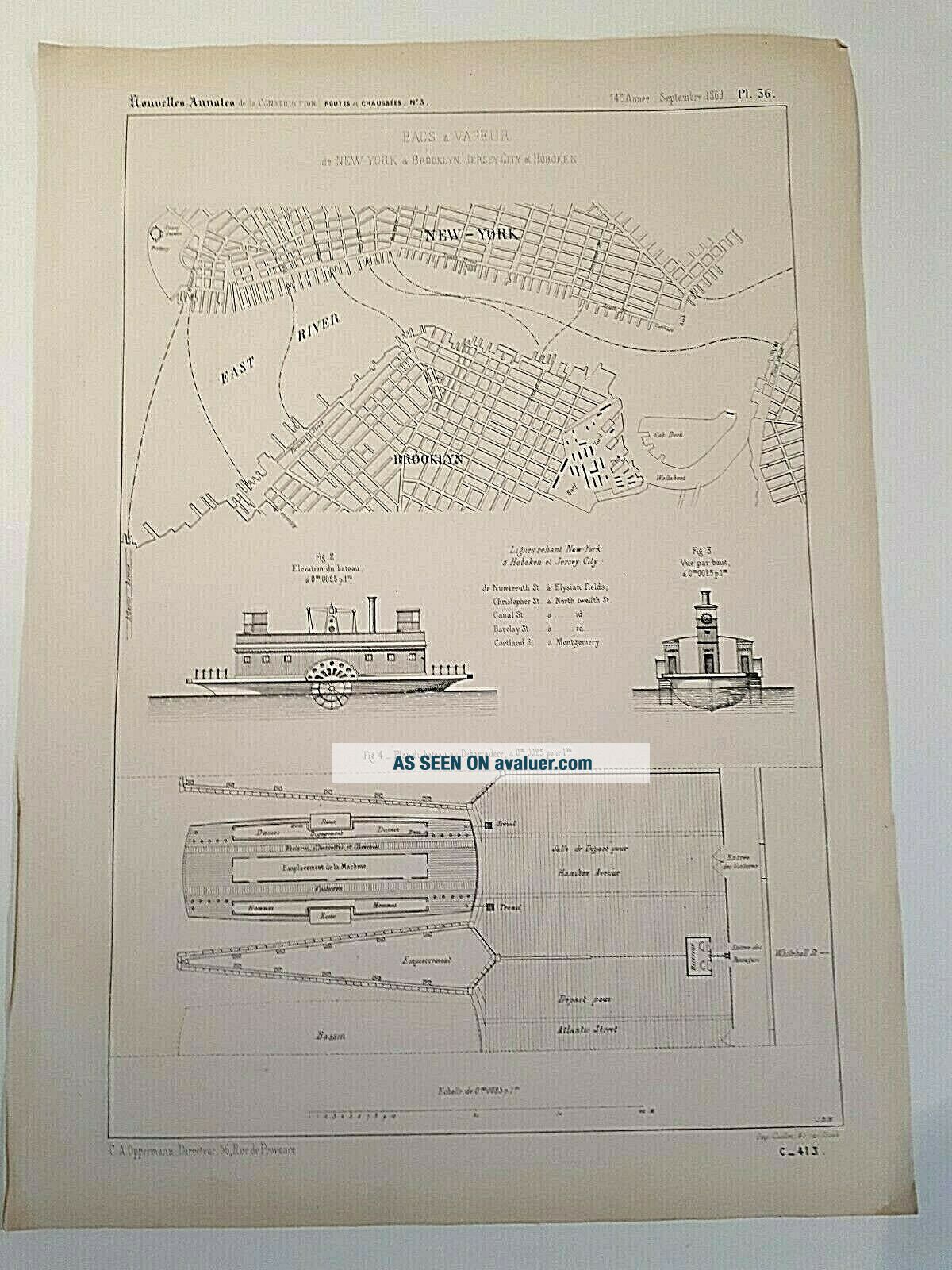
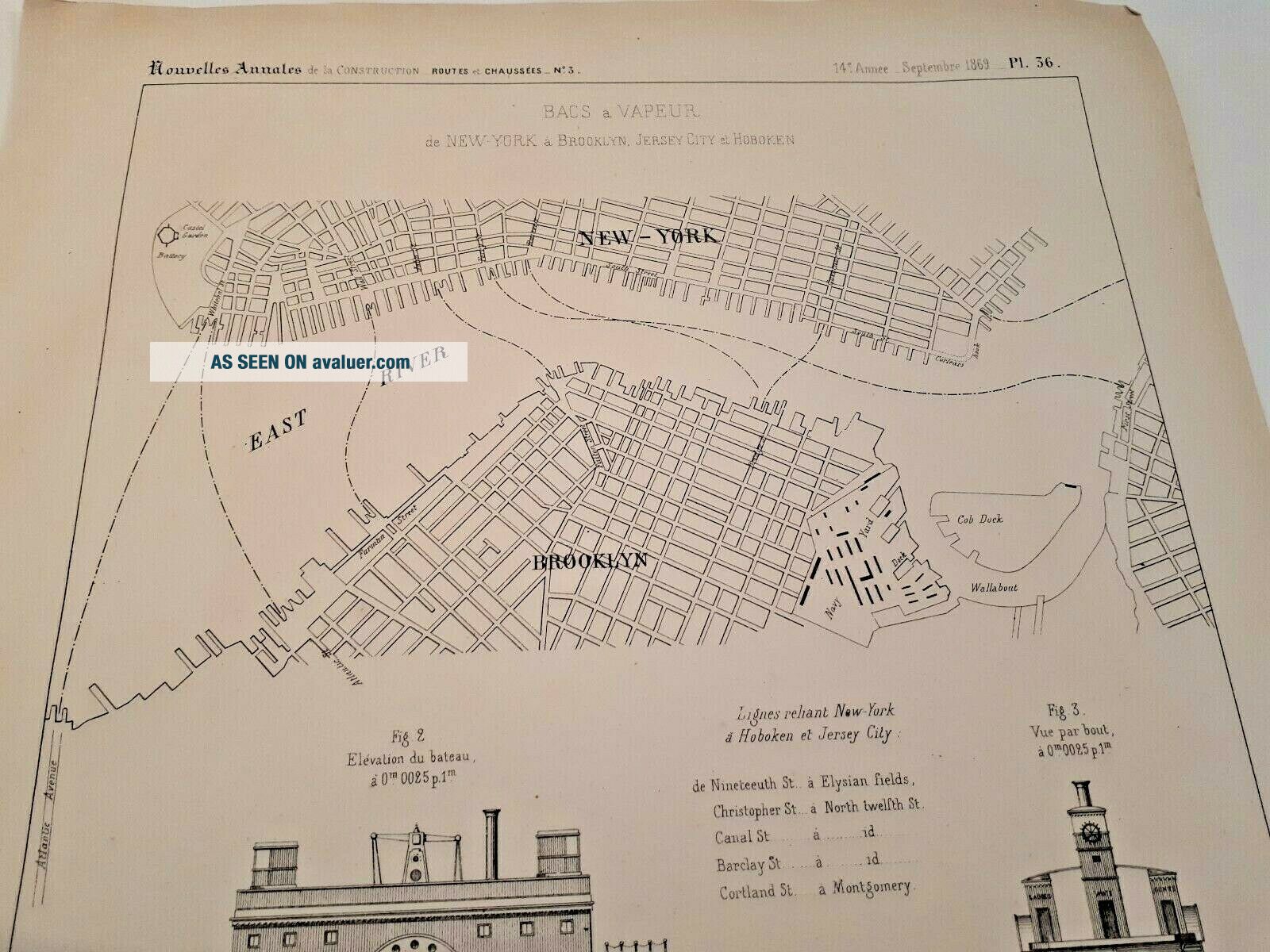
Rare 1869 Print York Map Ferry Brooklyn Manhattan Plan

Item History & Price
| Reference Number: Avaluer:16428 | Year: 1869 |
| Date Range: 1800-1899 | US State: New York |
From the Annales de la Construction 186936x26 cm

| Reference Number: Avaluer:16428 | Year: 1869 |
| Date Range: 1800-1899 | US State: New York |
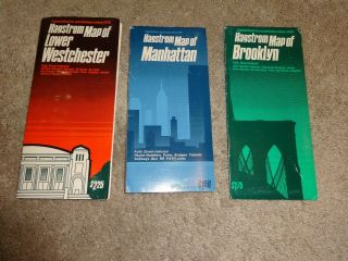
3 Vintage Orig Hagstrom ' S York Maps Guides Brooklyn Manhattan Westchester
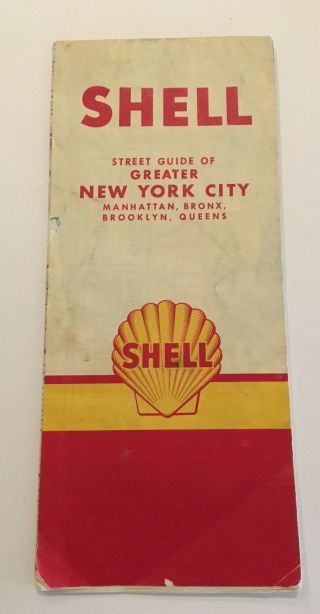
Vintage 1959 Shell York Map Street Guide Manhattan Bronx Brooklyn Queens Ny
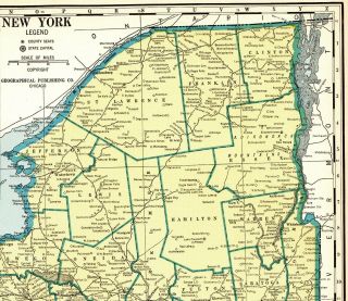
1937 Antique York State Map Rare Poster Print Size Map Of York 5527
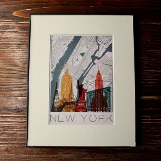
Nyc Framed 8x10 Wall Art Print | York City Home Decor | Manhattan Map Gift
Hard Rock Cafe Pins York Map Puzzle Set Manhattan Brooklyn Bronx Queens Logo
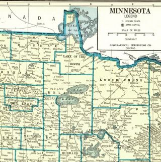
1937 Antique Minnesota State Map Rare Poster Print Size Map Of Minnesota 5525
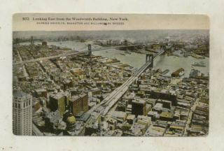
Vintage York City Postcarf - Brooklyn, Manhattan & Williamsburg Bridges C. 1915

Vintage 1984 Photo York City Skyline Brooklyn & Manhattan Bridge East River

1860 Mitchell Hand Colored Map Colorado, Nebraska & Kansas - Civil War Era

18th Century French Map Of North America

Las Vegas Nevada Vintage 1967 Us Geological Survey Quadrangle Map 4 Panels

Rare Antique 1845 Maps United States Exploring Expedition Book Antartica Hawaii

Vintage 1926 Map Hollywood From The Best Surveys Of The Time

American Continent (western Hemisphere) 1747 Bowen Antique Copper Engraved Map

Gulf Coast Florida Texas United States 1705 De Fer Unusual Antique Engraved Map

California As Island United States 1700 De Fer Unusual First Edition Antique Map