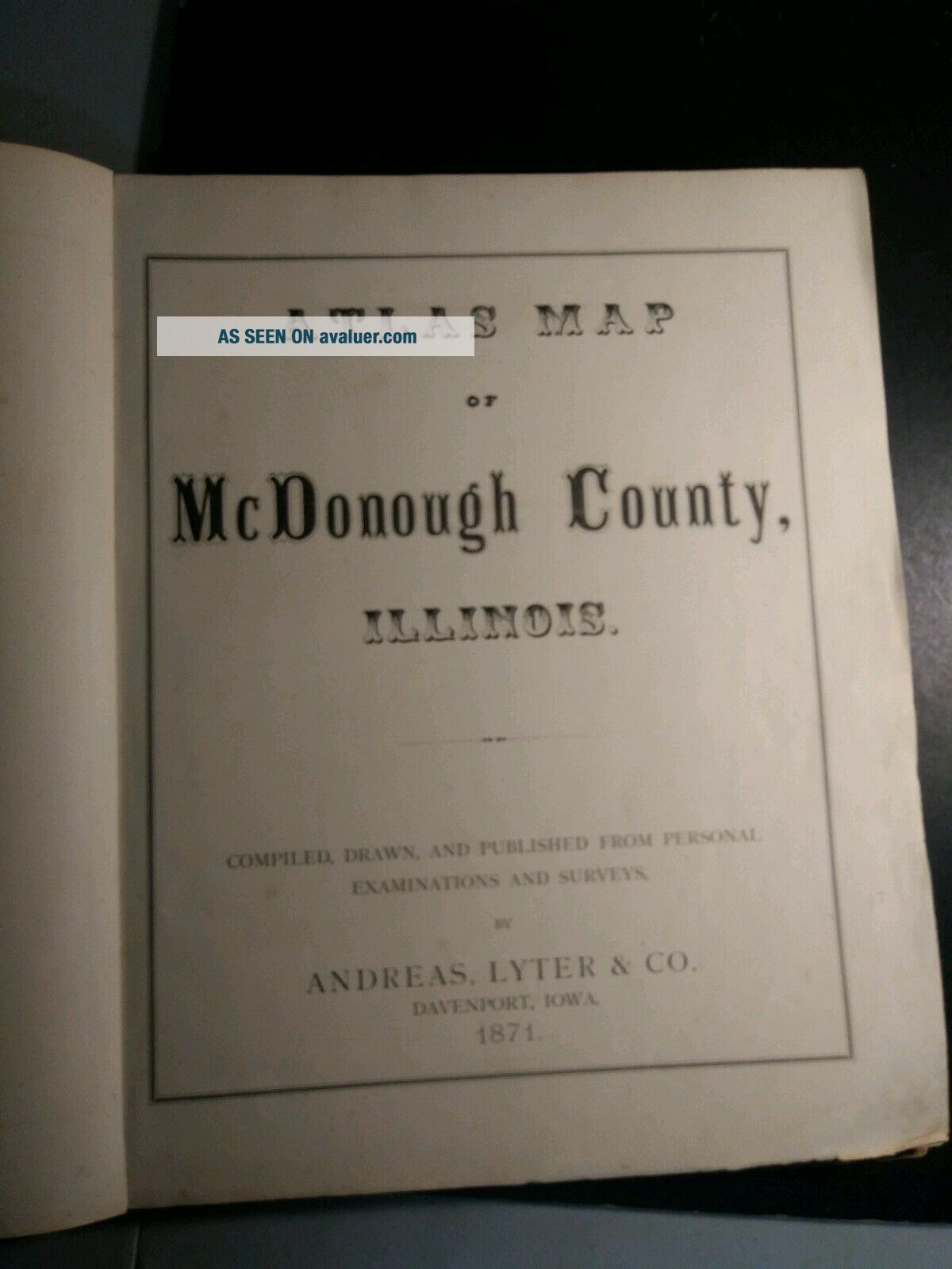
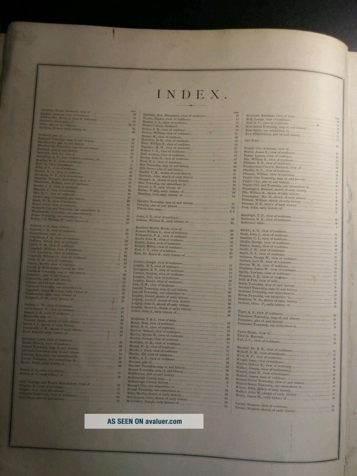
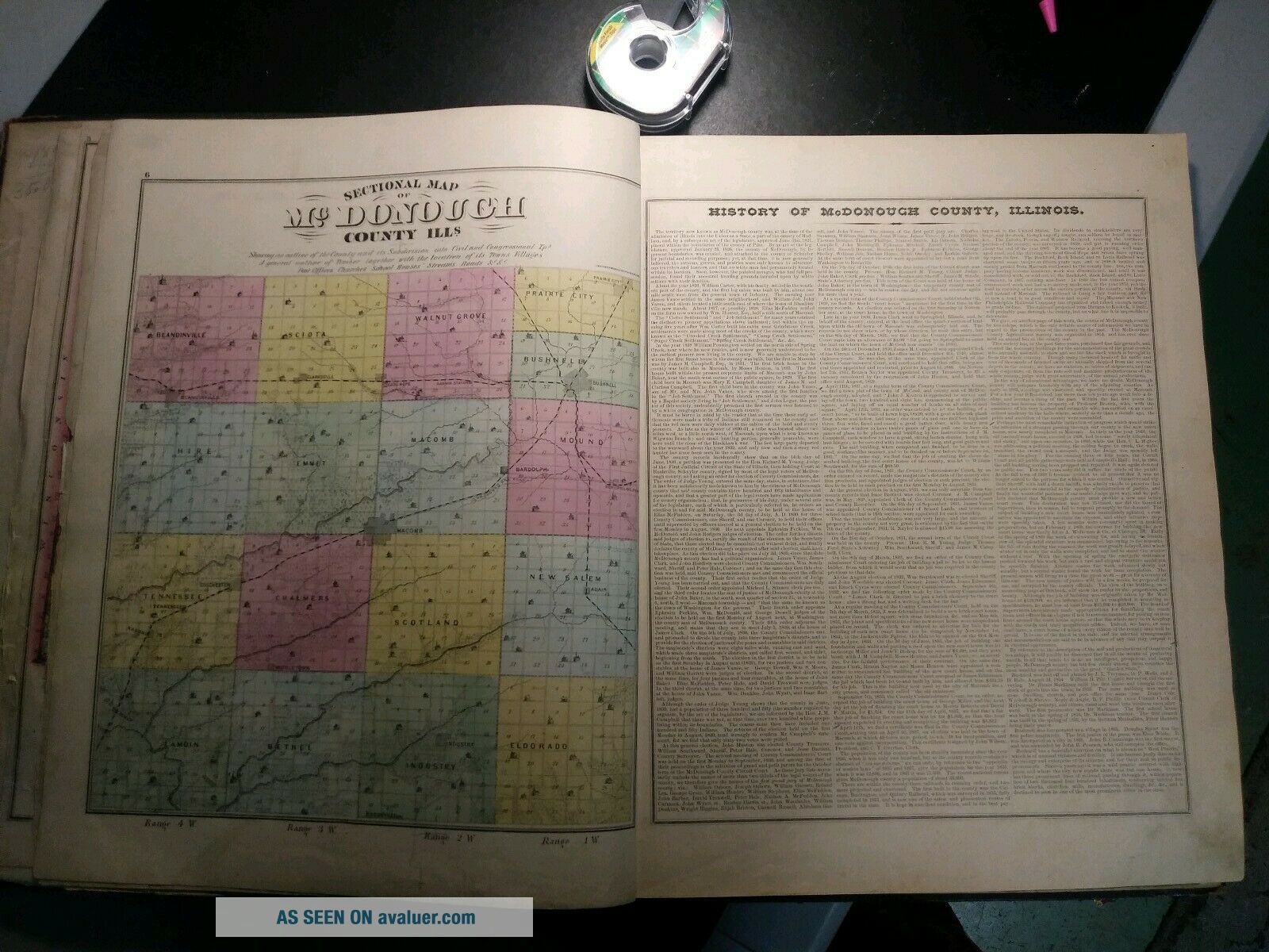
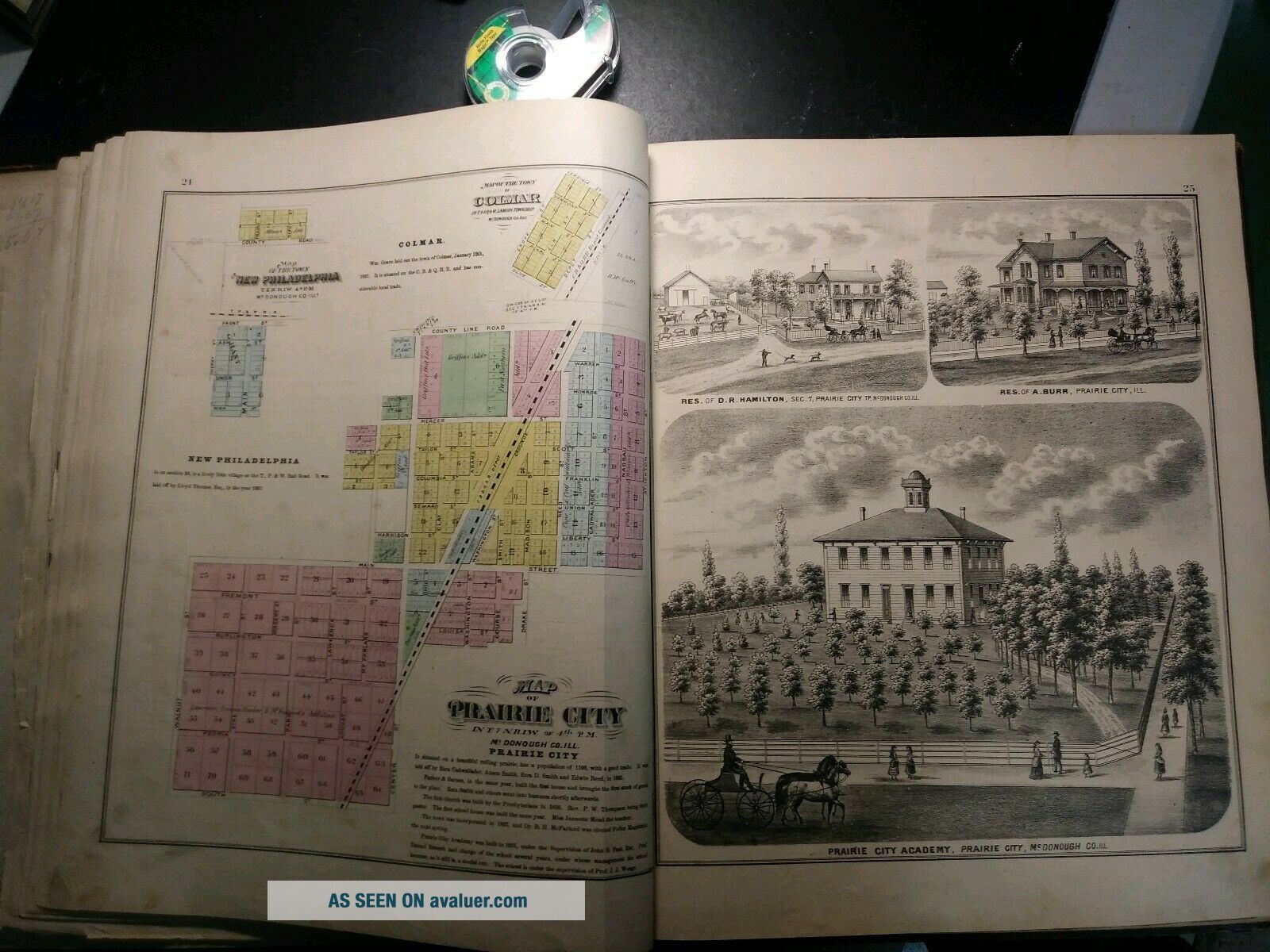
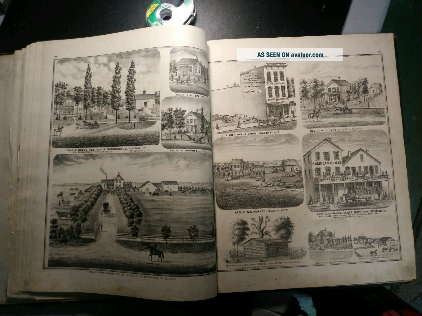
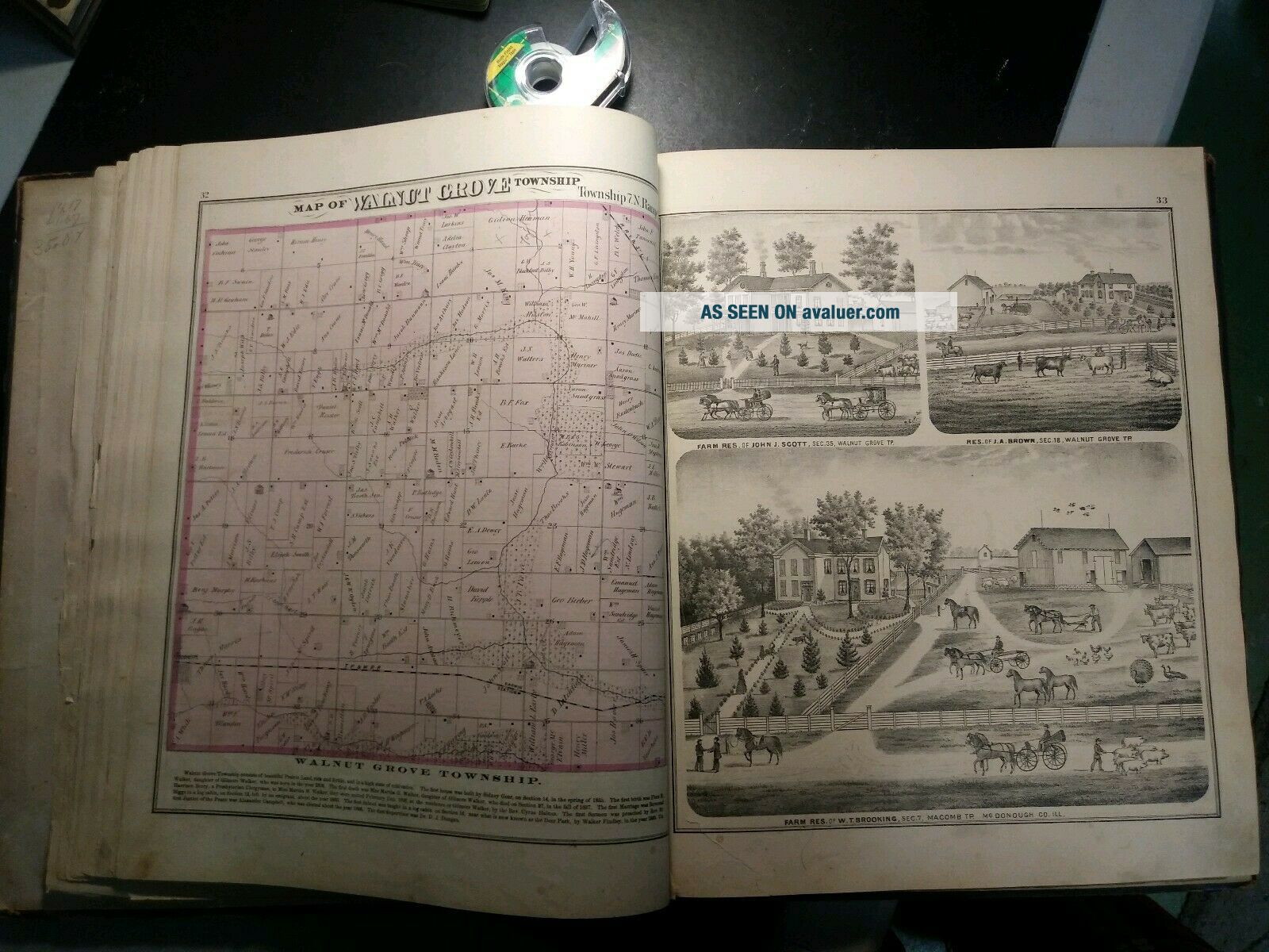
1871 Atlas. Mcdonough County Illinois.


Item History & Price

Information:
Reference Number: Avaluer:16472US State: Illinois
Original Description:
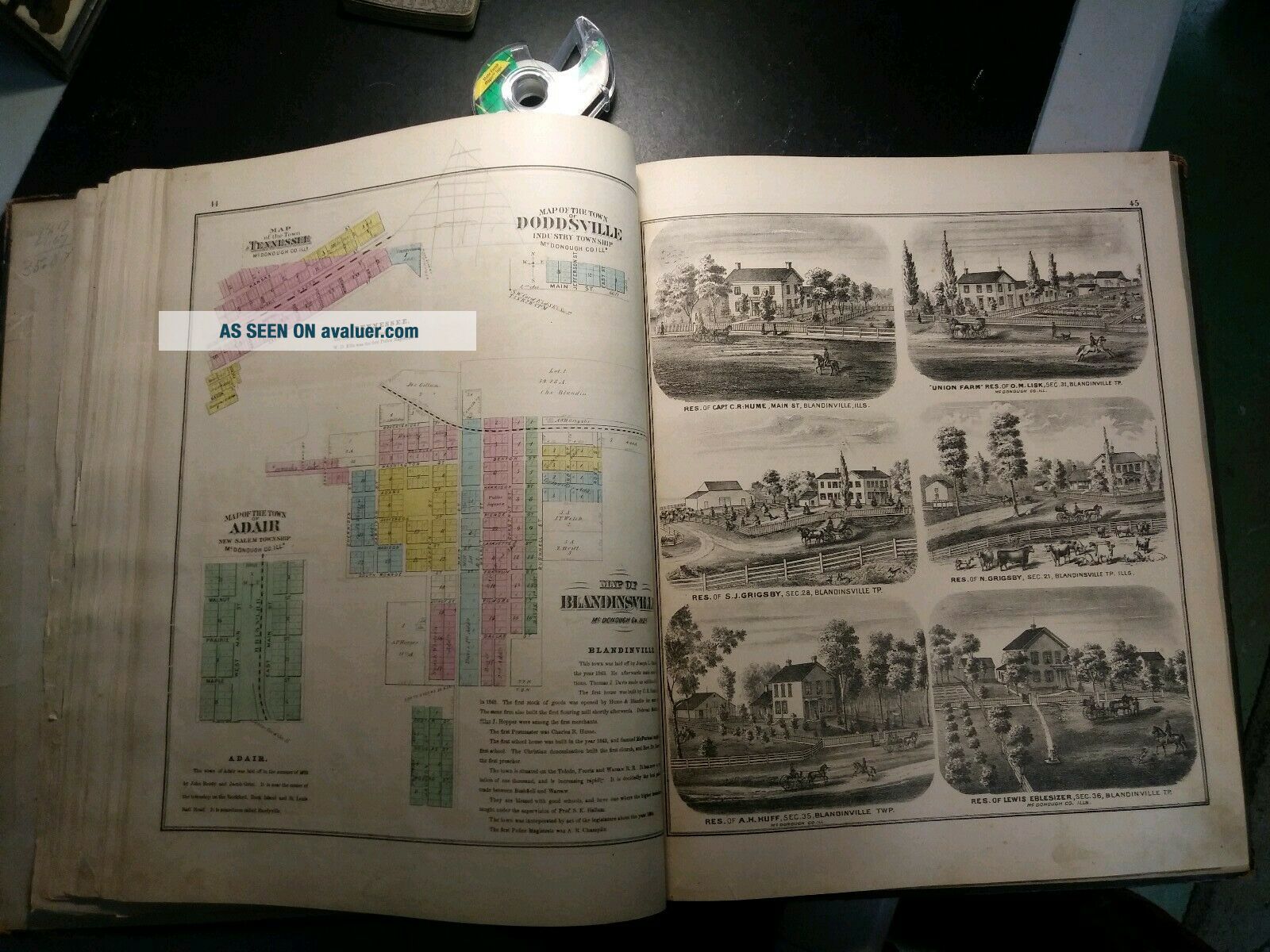
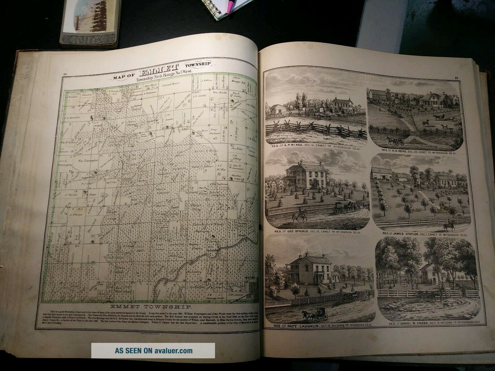
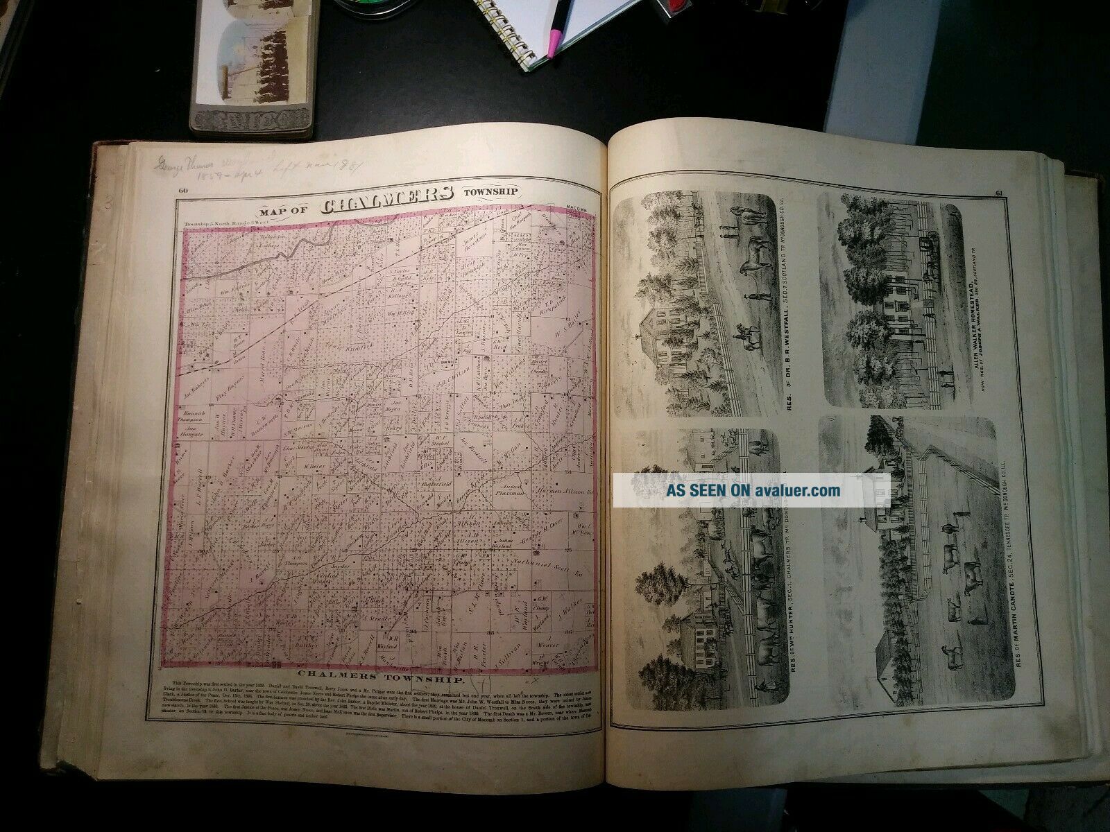
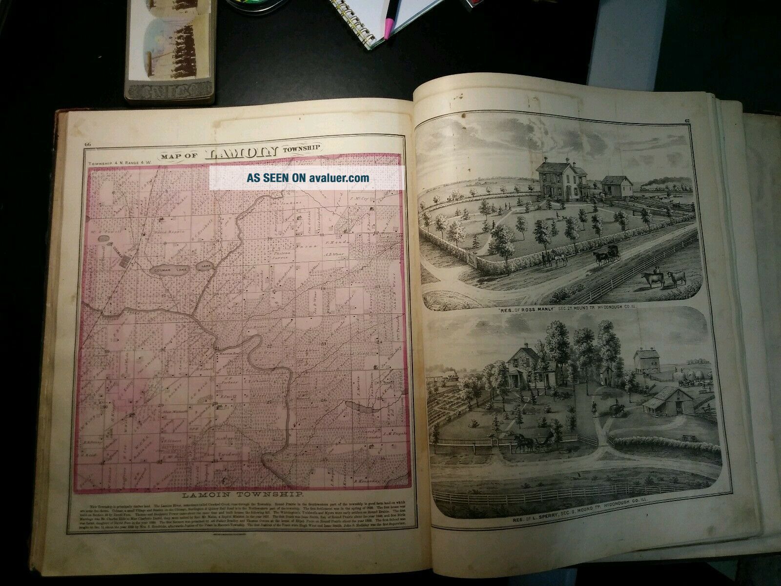
1871 Atlas. Mcdonough County illinois..original and complete. Wear to covers and spine. Loose pages here and there. Otherwise atlas is in very nice condition. I have included pics of atlas throughout. Paper in nice shape. 18x15


    Similar items


  • Combination Atlas Dupage County Illinois 1874 After Civil War,  Maps Drawings

    Combination Atlas Dupage County Illinois 1874 After Civil War, Maps Drawings

  • 1924 Mcdonough County Illinois Dog Tax Tag Brass 1051 Ill Macomb Ills Antique

    1924 Mcdonough County Illinois Dog Tax Tag Brass 1051 Ill Macomb Ills Antique

  • History Of Mcdonough County,  Illinois By George Shadwick Jr.  - 1968 1st Ed.  Book

    History Of Mcdonough County, Illinois By George Shadwick Jr. - 1968 1st Ed. Book

  • 1955 Mcdonough County,  Illinois Pictorial

    1955 Mcdonough County, Illinois Pictorial

  • 1901 Standard Atlas Ford County Illinois,  G.  A.  Ogle.  Township,  City,  State Maps

    1901 Standard Atlas Ford County Illinois, G. A. Ogle. Township, City, State Maps

  • Vintage 1931 Brass Mcdonough County Illinois Dog Tax Tag License

    Vintage 1931 Brass Mcdonough County Illinois Dog Tax Tag License

  • Macomb Mcdonough County Illinois,  Multi View - Early Real Photo Card

    Macomb Mcdonough County Illinois, Multi View - Early Real Photo Card

  • Antique 1871 Blackberry Kane County Illinois Print Horse Carriage Farming Store

    Antique 1871 Blackberry Kane County Illinois Print Horse Carriage Farming Store


    • You might also like


    • 1860 Mitchell Hand Colored Map Colorado,  Nebraska & Kansas - Civil War Era

      1860 Mitchell Hand Colored Map Colorado, Nebraska & Kansas - Civil War Era

    • 18th Century French Map Of North America

      18th Century French Map Of North America

    • Las Vegas Nevada Vintage 1967 Us Geological Survey Quadrangle Map 4 Panels

      Las Vegas Nevada Vintage 1967 Us Geological Survey Quadrangle Map 4 Panels

    • Rare Antique 1845 Maps United States Exploring Expedition Book Antartica Hawaii

      Rare Antique 1845 Maps United States Exploring Expedition Book Antartica Hawaii

    • Vintage 1926 Map Hollywood From The Best Surveys Of The Time

      Vintage 1926 Map Hollywood From The Best Surveys Of The Time

    • American Continent (western Hemisphere) 1747 Bowen Antique Copper Engraved Map

      American Continent (western Hemisphere) 1747 Bowen Antique Copper Engraved Map

    • Gulf Coast Florida Texas United States 1705 De Fer Unusual Antique Engraved Map

      Gulf Coast Florida Texas United States 1705 De Fer Unusual Antique Engraved Map

    • California As Island United States 1700 De Fer Unusual First Edition Antique Map

      California As Island United States 1700 De Fer Unusual First Edition Antique Map

Avaluer          About Us          Privacy Policy          Contact Us          UP
© 2022, avaluer.net, Inc. or its affiliates