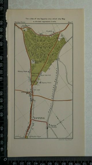
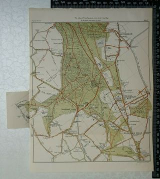
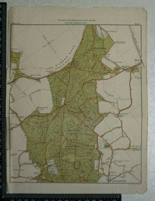
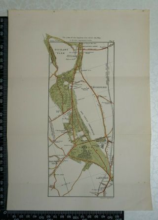
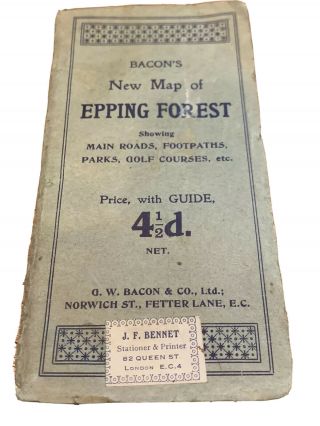
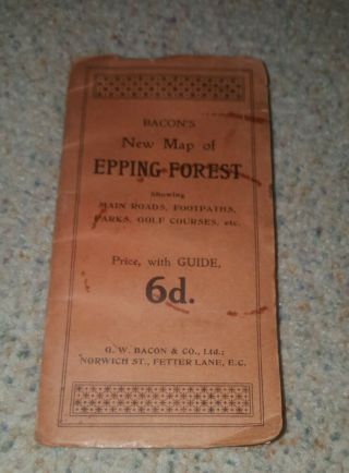
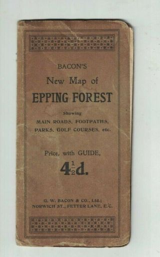
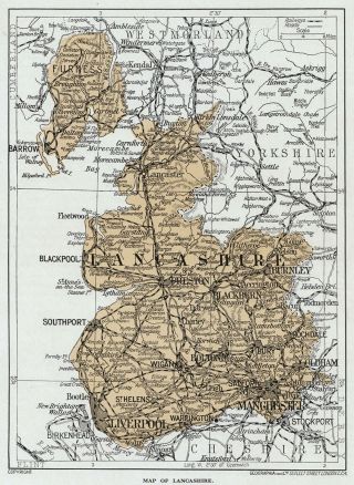
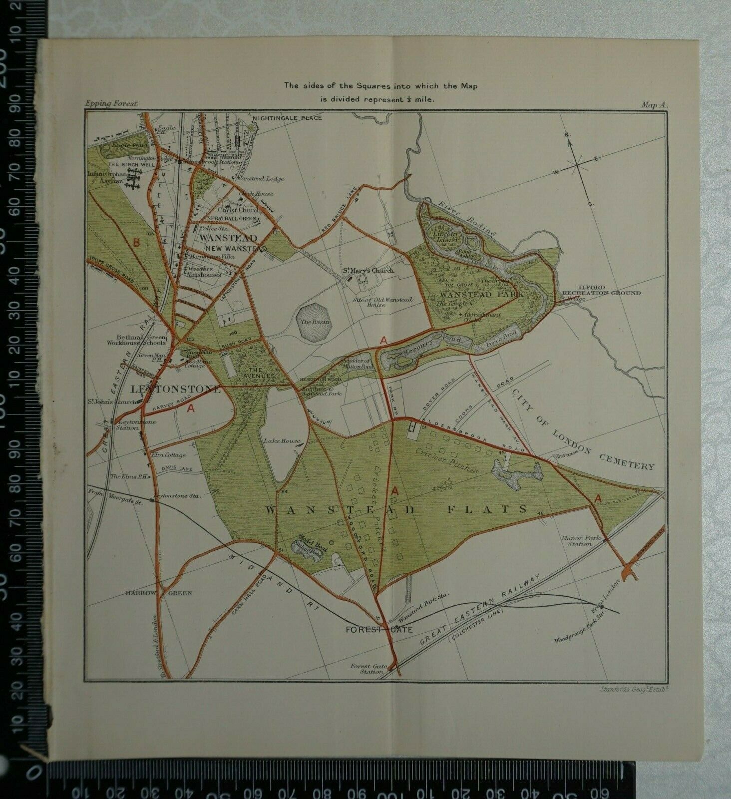
1923 Vintage Map Of Epping Forest - Wanstead, Leytonstone, Wanstead Flats.


Item History & Price

Information:
Reference Number: Avaluer:18279570Cartographer/Publisher: Stanford
Type: Topographical MapPrinting Technique: Lithography
Year: 1923Original/Reproduction: Antique Original
Date Range: 1920-1929Format: Book Map
Era: 1900s
Original Description:
1923 Vintage Stanford Map of Epping Forest  - Wanstead, Leytonstone, Wanstead Flats.....

Overall Page Size: 18 cm x 20.5 cm approx. with centre fold.
Condition: Very good imprint.
Please study the picture.


    Similar items


  • 1923 Vintage Map Of Epping Forest - Epping,  Epping Plain & The Lower Forest

    1923 Vintage Map Of Epping Forest - Epping, Epping Plain & The Lower Forest

  • 1923 Vintage Map Of Epping Forest - Loughton,  Chingford,  Woodford,  Buckhurst Hill

    1923 Vintage Map Of Epping Forest - Loughton, Chingford, Woodford, Buckhurst Hill

  • 1923 Vintage Map Of Epping Forest - Epping Thicks,  Loughton,  The Forest.

    1923 Vintage Map Of Epping Forest - Epping Thicks, Loughton, The Forest.

  • 1923 Vintage Map Of Epping Forest - Leyton Flats,  Woodford,  Highams Park.

    1923 Vintage Map Of Epping Forest - Leyton Flats, Woodford, Highams Park.

  • Bacon

    Bacon ' S Map Of Epping Forest With Guide, 4 1/2 D. Vintage (queen St London)

  • Vintage G.  W.  Bacon Map Of Epping Forest

    Vintage G. W. Bacon Map Of Epping Forest

  • Bacon

    Bacon ' S Map Of Epping Forest With Guide. Main Roads. Golf Courses C. 1935

  • 1923 Vintage Map Of England,  Lancashire Print In 10 X 12 Inch Mount

    1923 Vintage Map Of England, Lancashire Print In 10 X 12 Inch Mount


    • You might also like


    • Hungary & Romania 1579 (1584) Ortelius Unusual Antique Copper Engraved Map

      Hungary & Romania 1579 (1584) Ortelius Unusual Antique Copper Engraved Map

    • Brussels Bruxelles Belfium 1777 De Ferraris & Dupuis Large Antique Map Sheet Xxi

      Brussels Bruxelles Belfium 1777 De Ferraris & Dupuis Large Antique Map Sheet Xxi

    • 1616 Atlas Map Of Iceland.

      1616 Atlas Map Of Iceland.

    • Kazan Russia 1767 Le Clerc/lespinasse Antique Copper Engraved City View

      Kazan Russia 1767 Le Clerc/lespinasse Antique Copper Engraved City View

    • 1899 Stanford,  Folding Map Of Norwich,  Norfolk,  Arthur Collins,  Jarrold & Sons,

      1899 Stanford, Folding Map Of Norwich, Norfolk, Arthur Collins, Jarrold & Sons,

    • 1948 Vintage Linen Colour Map Geological Survey Ten Mile Of Great Britain

      1948 Vintage Linen Colour Map Geological Survey Ten Mile Of Great Britain

    • 1944 Map Flying Bombs Sussex Ww2 Newspaper Military Kent Courier German V1 V2

      1944 Map Flying Bombs Sussex Ww2 Newspaper Military Kent Courier German V1 V2

    • Dated 1638 Vellum Map Of Icklesham Sussex Showing Land Uses Owners Etc

      Dated 1638 Vellum Map Of Icklesham Sussex Showing Land Uses Owners Etc

Avaluer          About Us          Privacy Policy          Contact Us          UP
© 2022, avaluer.net, Inc. or its affiliates