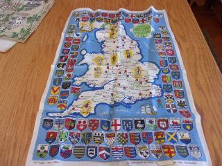
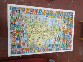
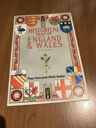
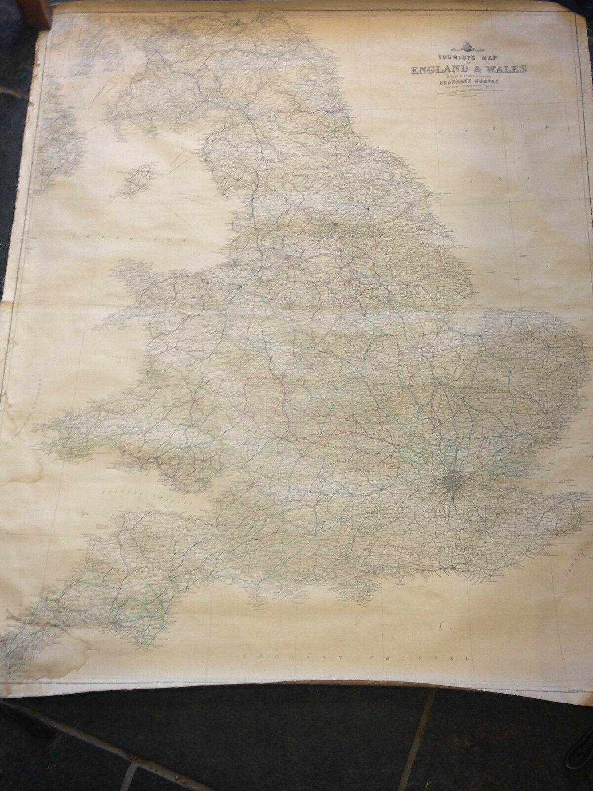
LARGE VINTAGE LINEN BACKED MAP OF ENGLAND AND WALES


Item History & Price

Information:
Reference Number: Avaluer:18743514
Original Description:
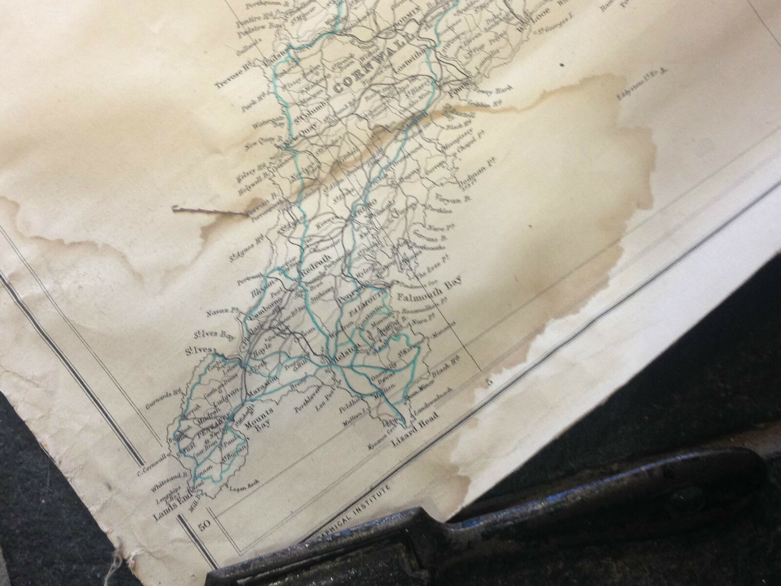
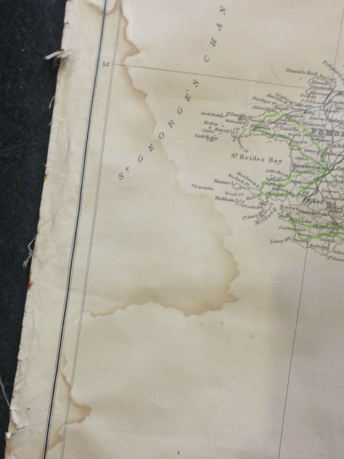
LARGE VINTAGE SCHOOL MAP OF ENGLAND AND WALESLINEN BACKEDTHIS MAP DOES HAVE:-WATER STAINS-RIPPED AND RUSTY EDGING (SHOWN IN PICTURES)-COLOURED PENCILS LINES/TRAILS (SHOWN IN PICTURES)AT SOME POINT THE MAP HAS BEEN WET AND DRIED WHICH HAS CAUSES THE MAP TO PUCKER A LITTLE (CAN SEE IN PICTURES)LENGTH:107CMWIDTH:86.5CMTHE MAP WILL ROLL UP AND BE SENT IN A TUBEDONT HESITATE TO ASK US ANY QUESTIONSPLEASE LOOK AT OUR OTHER ITEMSPosted with eBay Mobile


    Similar items


  • Vintage Linen Historical Map Of England And Wales Webbs Pure Linen Ireland

    Vintage Linen Historical Map Of England And Wales Webbs Pure Linen Ireland

  • Vintage Shell Historical Map Of England And Wales Large

    Vintage Shell Historical Map Of England And Wales Large

  • Vintage Shell Historical Map Of England And Wales Large 1971

    Vintage Shell Historical Map Of England And Wales Large 1971

  • Vintage Shell Historical Map Of England And Wales Large 1971

    Vintage Shell Historical Map Of England And Wales Large 1971

  • Vintage Folded Linen Backed Map Of Boston And Surrounding Areas

    Vintage Folded Linen Backed Map Of Boston And Surrounding Areas

  • Vintage 1971 Historical Map Of England And Wales By Bartholomew & Sons,  Scotland

    Vintage 1971 Historical Map Of England And Wales By Bartholomew & Sons, Scotland

  • Vintage 1971 Historical Map Of England And Wales By Bartholomew Royal Crests

    Vintage 1971 Historical Map Of England And Wales By Bartholomew Royal Crests

  • Survey Of India A V/large Folding Linen - Backed Map Of N W Frontier Province 1931

    Survey Of India A V/large Folding Linen - Backed Map Of N W Frontier Province 1931


    • You might also like


    • Hungary & Romania 1579 (1584) Ortelius Unusual Antique Copper Engraved Map

      Hungary & Romania 1579 (1584) Ortelius Unusual Antique Copper Engraved Map

    • Brussels Bruxelles Belfium 1777 De Ferraris & Dupuis Large Antique Map Sheet Xxi

      Brussels Bruxelles Belfium 1777 De Ferraris & Dupuis Large Antique Map Sheet Xxi

    • 1616 Atlas Map Of Iceland.

      1616 Atlas Map Of Iceland.

    • Kazan Russia 1767 Le Clerc/lespinasse Antique Copper Engraved City View

      Kazan Russia 1767 Le Clerc/lespinasse Antique Copper Engraved City View

    • 1899 Stanford,  Folding Map Of Norwich,  Norfolk,  Arthur Collins,  Jarrold & Sons,

      1899 Stanford, Folding Map Of Norwich, Norfolk, Arthur Collins, Jarrold & Sons,

    • 1948 Vintage Linen Colour Map Geological Survey Ten Mile Of Great Britain

      1948 Vintage Linen Colour Map Geological Survey Ten Mile Of Great Britain

    • 1944 Map Flying Bombs Sussex Ww2 Newspaper Military Kent Courier German V1 V2

      1944 Map Flying Bombs Sussex Ww2 Newspaper Military Kent Courier German V1 V2

    • Dated 1638 Vellum Map Of Icklesham Sussex Showing Land Uses Owners Etc

      Dated 1638 Vellum Map Of Icklesham Sussex Showing Land Uses Owners Etc

Avaluer          About Us          Privacy Policy          Contact Us          UP
© 2022, avaluer.net, Inc. or its affiliates