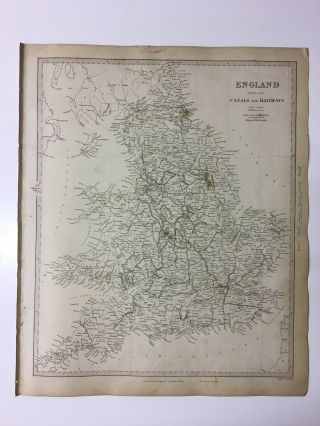
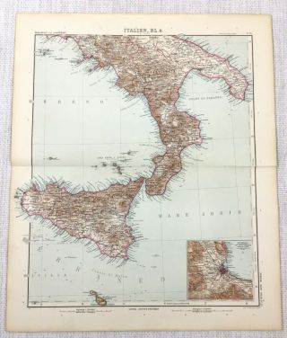
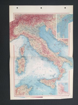
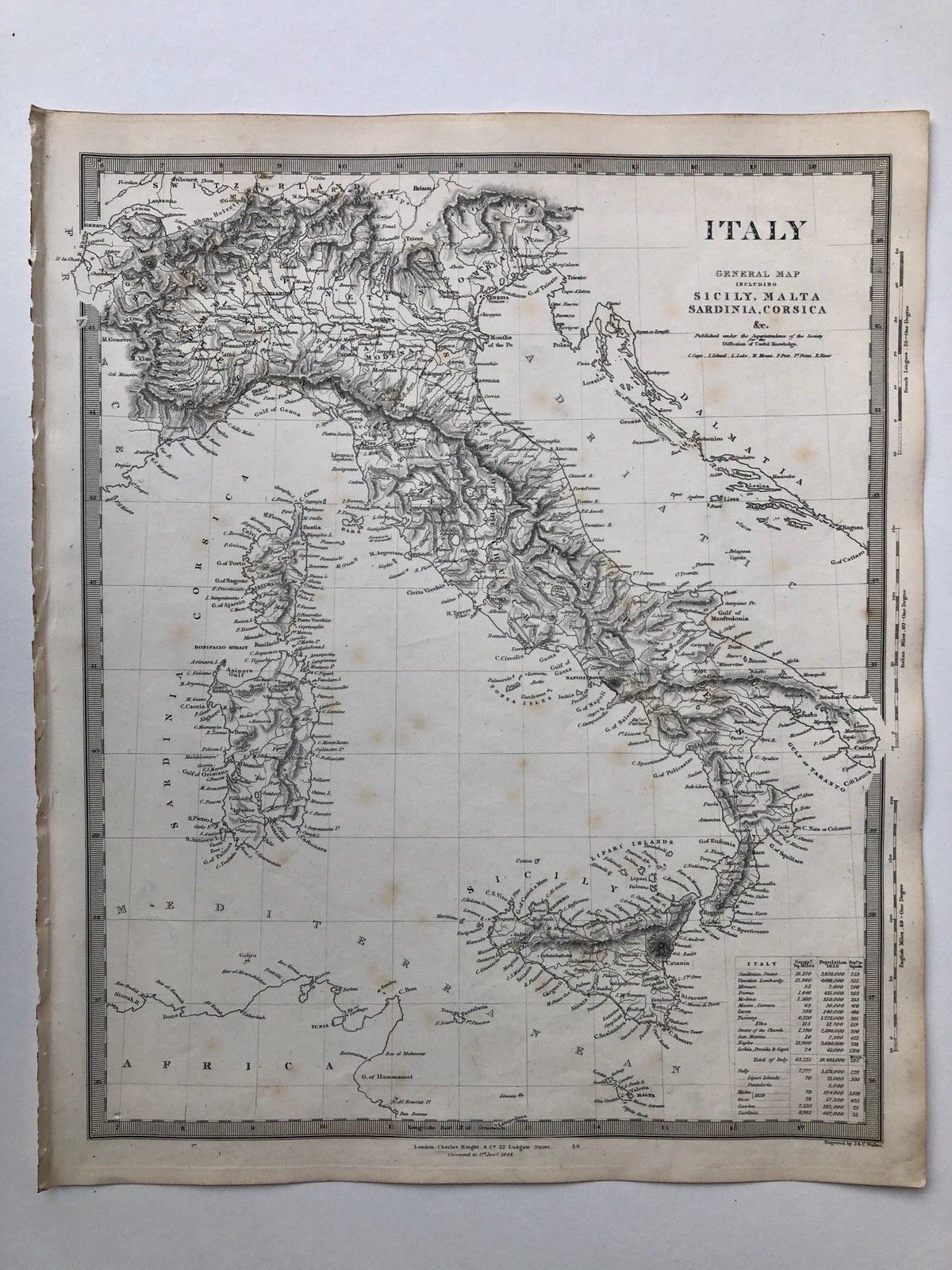
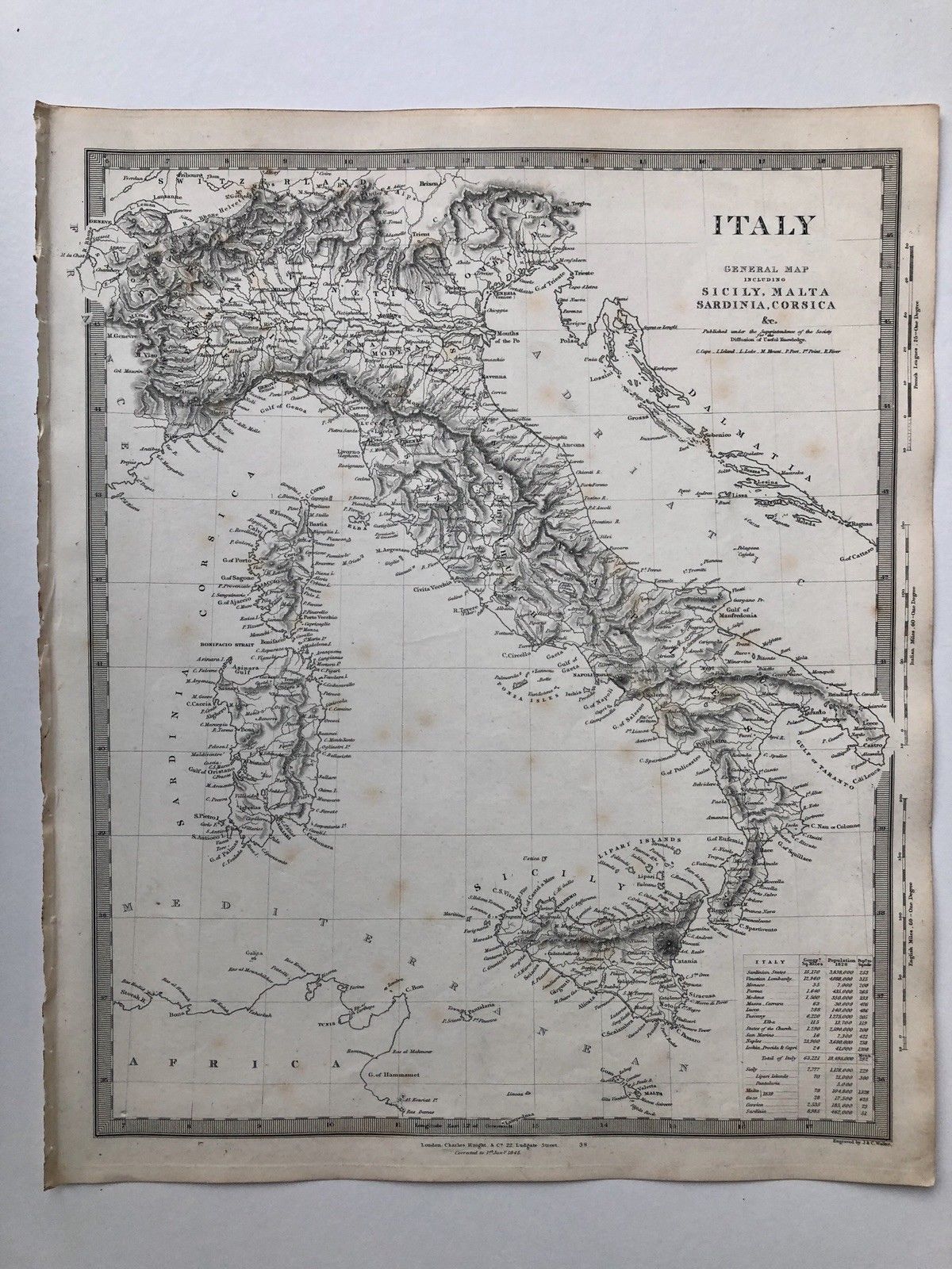
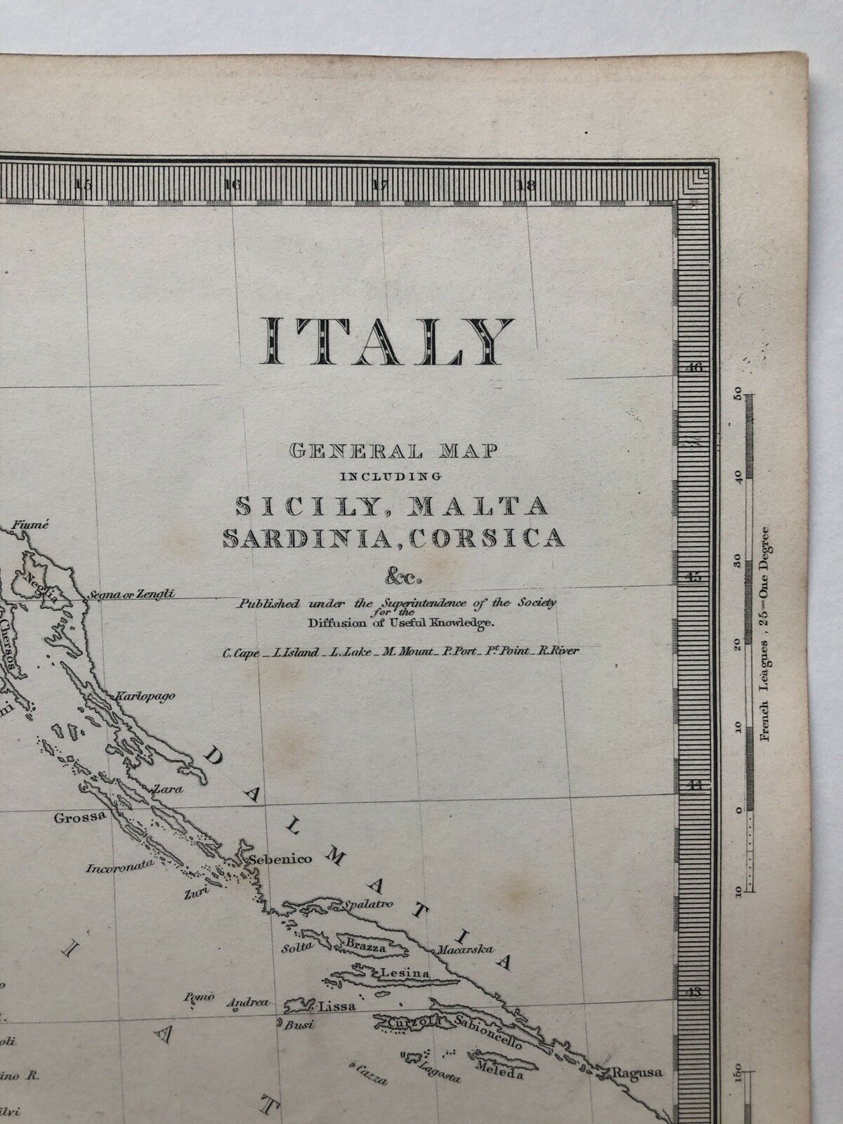
Vintage 1845 Topographic Map Of ‘Italy’ Sicily Malta Sardinia Corsica


Item History & Price

Information:
Reference Number: Avaluer:18749475Year: 1845
Type: Topographical MapEra: 1800s
Original/Reproduction: Antique Original
Original Description:
Vintage Original 1845 Topographic Map. Taken From A Book By The Society For The Diffusion Of Useful Knowledge London
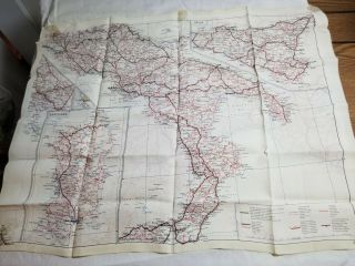
Size: 420 mm x 345 mm, see photographs for condition. The map will be sent packaged and rolled in a cardboard tube.
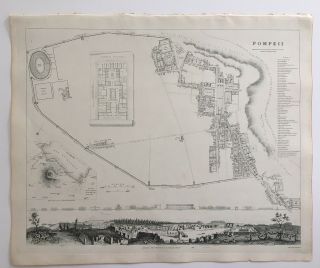
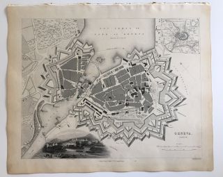
I am selling other maps from the original book so if your interested please view my 'sellers other items' or please get in contact if you require a map of the stars, a certain place, town, country or city.


    Similar items


  • Vintage 1845 Topographic Map Of

    Vintage 1845 Topographic Map Of ' England & Wales - Canals & Railways '

  • 1907 Antique Map Of Italy Sicily Palermo Malta Lipari Aeolian Islands Tyrrhenian

    1907 Antique Map Of Italy Sicily Palermo Malta Lipari Aeolian Islands Tyrrhenian

  • Vintage Esso Touring Map Of Italy 1952 Sicily Corsica Sardinia.  Goodwood Revival

    Vintage Esso Touring Map Of Italy 1952 Sicily Corsica Sardinia. Goodwood Revival

  • Cloth Silk Aviator

    Cloth Silk Aviator ' S Map Of Italy & Sicily Ww2 Vintage

  • Cloth Silk Aviator

    Cloth Silk Aviator ' S Map Of Italy & Sicily Ww2 Vintage

  • Vintage 1845 Topographic Map & Drawings

    Vintage 1845 Topographic Map & Drawings ' Pompeii ' City In Italy

  • Map Of Italy Sicily Corsica Vintage 1967

    Map Of Italy Sicily Corsica Vintage 1967

  • Vintage 1845 Topographic Map & Drawings

    Vintage 1845 Topographic Map & Drawings ' Geneva ' City In Switzerland


    • You might also like


    • Hungary & Romania 1579 (1584) Ortelius Unusual Antique Copper Engraved Map

      Hungary & Romania 1579 (1584) Ortelius Unusual Antique Copper Engraved Map

    • Brussels Bruxelles Belfium 1777 De Ferraris & Dupuis Large Antique Map Sheet Xxi

      Brussels Bruxelles Belfium 1777 De Ferraris & Dupuis Large Antique Map Sheet Xxi

    • 1616 Atlas Map Of Iceland.

      1616 Atlas Map Of Iceland.

    • Kazan Russia 1767 Le Clerc/lespinasse Antique Copper Engraved City View

      Kazan Russia 1767 Le Clerc/lespinasse Antique Copper Engraved City View

    • 1899 Stanford,  Folding Map Of Norwich,  Norfolk,  Arthur Collins,  Jarrold & Sons,

      1899 Stanford, Folding Map Of Norwich, Norfolk, Arthur Collins, Jarrold & Sons,

    • 1948 Vintage Linen Colour Map Geological Survey Ten Mile Of Great Britain

      1948 Vintage Linen Colour Map Geological Survey Ten Mile Of Great Britain

    • 1944 Map Flying Bombs Sussex Ww2 Newspaper Military Kent Courier German V1 V2

      1944 Map Flying Bombs Sussex Ww2 Newspaper Military Kent Courier German V1 V2

    • Dated 1638 Vellum Map Of Icklesham Sussex Showing Land Uses Owners Etc

      Dated 1638 Vellum Map Of Icklesham Sussex Showing Land Uses Owners Etc

Avaluer          About Us          Privacy Policy          Contact Us          UP
© 2022, avaluer.net, Inc. or its affiliates