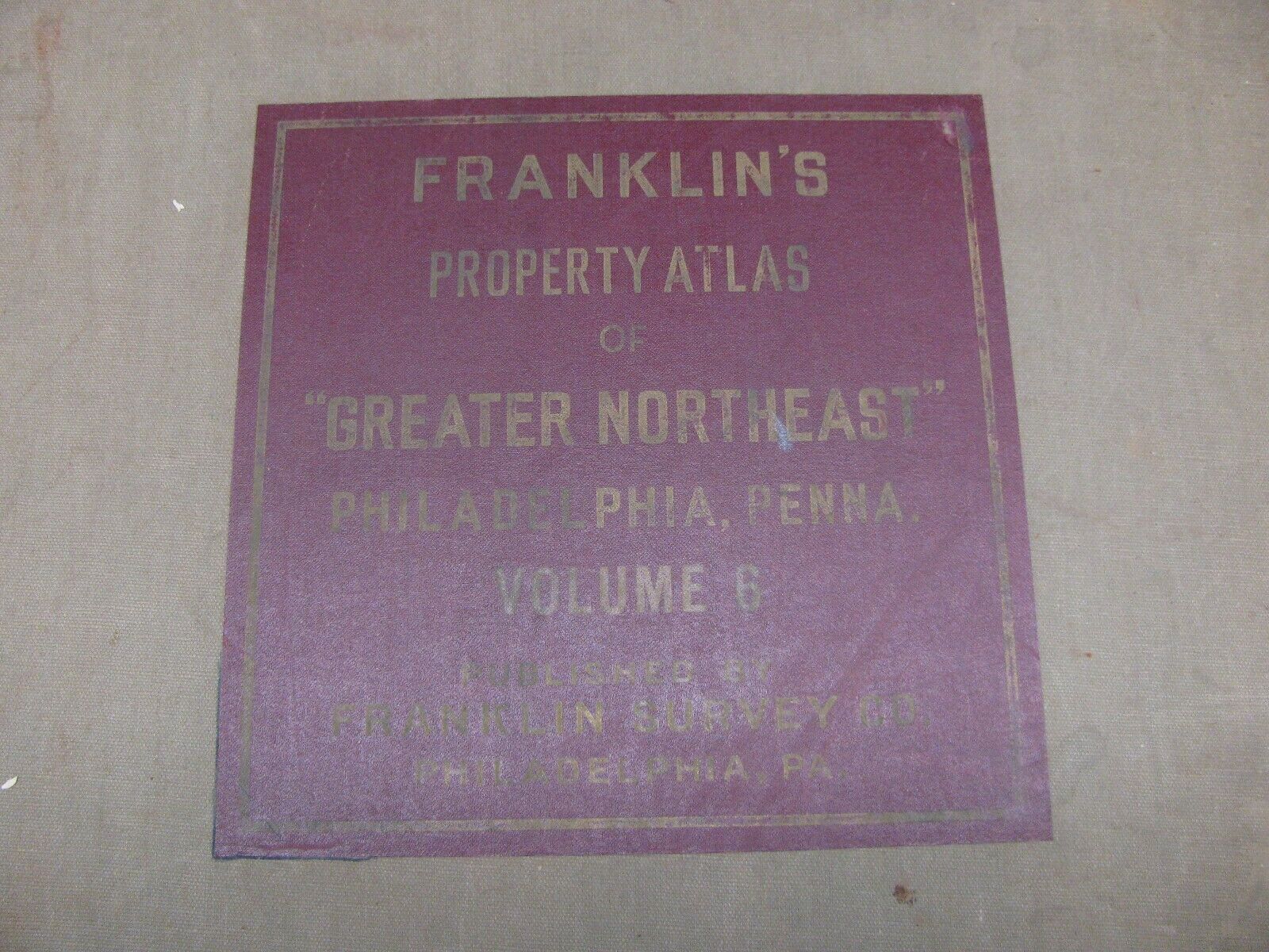
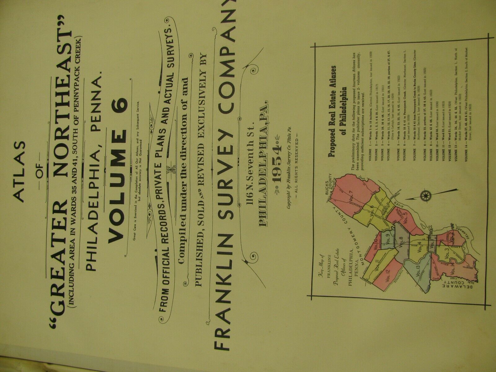
Atlas Of Greater Northeast Philadelphia Pennsylvania Wards 35 And 41 To Pennypac


Item History & Price

Information:
Reference Number: Avaluer:19617199
Original Description:
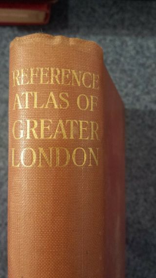
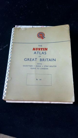
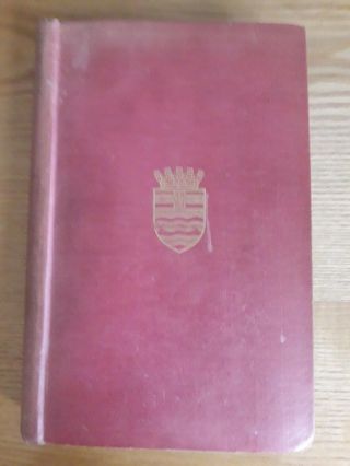
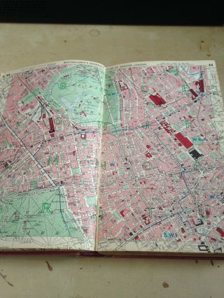
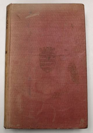
Selling a nice 1954 Atlas of the Greater Northeast Philadelphia Pennsylvania Volume 6. Wards 35 and 41 to Pennypack Creek. 36 total maps. There is some light damage to the pages. Cloth backed pages. Most of the atlases that I sell are nearly 100 years or older. Expect some condition issues. I will note excessive damage and defects. These atlases were used in the field so there is writing and some light staining in places. These books are great for research. The pages can... also be cut out and framed. Really nice books. Please check the pictures for condition issues. Please email me with any questions. 
Most of the atlases that I sell are nearly 100 years or older. Expect some condition issues. I will note excessive damage and defects. These atlases were used in the field so there is writing and some light staining in places. These books are great for research. The pages can also be cut out and framed. Really nice books. Please check the pictures for condition issues. Please email me with any questions. 


    Similar items


  • Reference Atlas Of Greater London 1940

    Reference Atlas Of Greater London 1940

  • Vintage Austin Atlas Of Greater Britain Bmc Road Motoring Collectible 1950s.

    Vintage Austin Atlas Of Greater Britain Bmc Road Motoring Collectible 1950s.

  • Cabinet Card Photo Portrait Of A Woman Philadelphia Pennsylvania

    Cabinet Card Photo Portrait Of A Woman Philadelphia Pennsylvania

  • " Bartholomew

    " Bartholomew ' S Reference Atlas Of Greater London "

  • Bartholomew

    Bartholomew ' S Reference Atlas Of Greater London 8th Edition 1948

  • Authentic Piece Of Veterans Stadium Philadelphia Pennsylvania Imploded 2004

    Authentic Piece Of Veterans Stadium Philadelphia Pennsylvania Imploded 2004

  • Bartholomew

    Bartholomew ' S Reference Atlas Of Greater London (8th Edition 1948) - H/b - R16

  • 2003 Adc Street Atlas Of Greater Washinton Dc

    2003 Adc Street Atlas Of Greater Washinton Dc


    • You might also like


    • 1860 Mitchell Hand Colored Map Colorado,  Nebraska & Kansas - Civil War Era

      1860 Mitchell Hand Colored Map Colorado, Nebraska & Kansas - Civil War Era

    • 18th Century French Map Of North America

      18th Century French Map Of North America

    • Las Vegas Nevada Vintage 1967 Us Geological Survey Quadrangle Map 4 Panels

      Las Vegas Nevada Vintage 1967 Us Geological Survey Quadrangle Map 4 Panels

    • Rare Antique 1845 Maps United States Exploring Expedition Book Antartica Hawaii

      Rare Antique 1845 Maps United States Exploring Expedition Book Antartica Hawaii

    • Vintage 1926 Map Hollywood From The Best Surveys Of The Time

      Vintage 1926 Map Hollywood From The Best Surveys Of The Time

    • American Continent (western Hemisphere) 1747 Bowen Antique Copper Engraved Map

      American Continent (western Hemisphere) 1747 Bowen Antique Copper Engraved Map

    • Gulf Coast Florida Texas United States 1705 De Fer Unusual Antique Engraved Map

      Gulf Coast Florida Texas United States 1705 De Fer Unusual Antique Engraved Map

    • California As Island United States 1700 De Fer Unusual First Edition Antique Map

      California As Island United States 1700 De Fer Unusual First Edition Antique Map

Avaluer          About Us          Privacy Policy          Contact Us          UP
© 2022, avaluer.net, Inc. or its affiliates