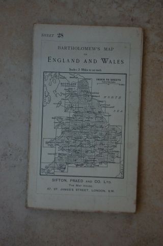
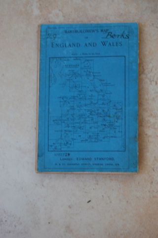
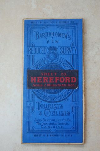
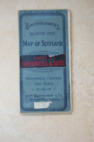
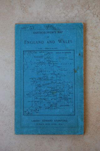
ANTIQUE BARTHOLOMEW, S MAP OF MERSEYSIDE LIVERPOOL AREA ENGLAND


Item History & Price

Information:
Reference Number: Avaluer:19701712County: Merseyside
City: LiverpoolOriginal/Reproduction: Antique Original
Country/Region: England
Original Description:
THIS IS A BARTHOLOMEW, S FOR MERSEYSIDE  HALF INCH TO THE MILE THERE IS PARTS THAT HAVE COME APART I HAVE TAKEN PIC OF THIS IN PHOTO, S 4 AND 5  PLEASE SEE PHOTO, S FOR CONDITION  ANY QUESTIONS PLEASE ASK AND PLEASE VIEW MY OTHER ITEMS AS IAM SELLING LOTS OF ANTIQUES AND COLLECTABLES AND ANOTHER SIMILAR ONE 


    Similar items


  • Antique Bartholomew

    Antique Bartholomew ' S Map Of Bath & Bristol, 1919

  • Antique Bartholomew

    Antique Bartholomew ' S Map Of Berkshire, C1900

  • Antique Bartholomew

    Antique Bartholomew ' S Map Of Hereford, C1912

  • Antique Bartholomew

    Antique Bartholomew ' S Map Of Inverness & Skye, Dated 1911

  • Antique Bartholomew

    Antique Bartholomew ' S Map Of Forest & Isle Of Wight, C1908

  • Antique Bartholomew

    Antique Bartholomew ' S Map Of North Lancashire, Dated 1919

  • Antique Bartholomew,  S Map Of Dartmoor Devon England For Motorists And Cycliists

    Antique Bartholomew, S Map Of Dartmoor Devon England For Motorists And Cycliists

  • Vintage Bartholomew

    Vintage Bartholomew ' S Map Of South Devon Sheet 36 1911


    • You might also like


    • Hungary & Romania 1579 (1584) Ortelius Unusual Antique Copper Engraved Map

      Hungary & Romania 1579 (1584) Ortelius Unusual Antique Copper Engraved Map

    • Brussels Bruxelles Belfium 1777 De Ferraris & Dupuis Large Antique Map Sheet Xxi

      Brussels Bruxelles Belfium 1777 De Ferraris & Dupuis Large Antique Map Sheet Xxi

    • 1616 Atlas Map Of Iceland.

      1616 Atlas Map Of Iceland.

    • Kazan Russia 1767 Le Clerc/lespinasse Antique Copper Engraved City View

      Kazan Russia 1767 Le Clerc/lespinasse Antique Copper Engraved City View

    • 1899 Stanford,  Folding Map Of Norwich,  Norfolk,  Arthur Collins,  Jarrold & Sons,

      1899 Stanford, Folding Map Of Norwich, Norfolk, Arthur Collins, Jarrold & Sons,

    • 1948 Vintage Linen Colour Map Geological Survey Ten Mile Of Great Britain

      1948 Vintage Linen Colour Map Geological Survey Ten Mile Of Great Britain

    • 1944 Map Flying Bombs Sussex Ww2 Newspaper Military Kent Courier German V1 V2

      1944 Map Flying Bombs Sussex Ww2 Newspaper Military Kent Courier German V1 V2

    • Dated 1638 Vellum Map Of Icklesham Sussex Showing Land Uses Owners Etc

      Dated 1638 Vellum Map Of Icklesham Sussex Showing Land Uses Owners Etc

Avaluer          About Us          Privacy Policy          Contact Us          UP
© 2022, avaluer.net, Inc. or its affiliates