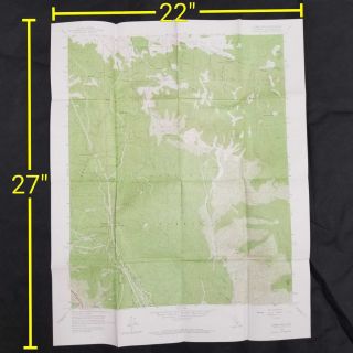
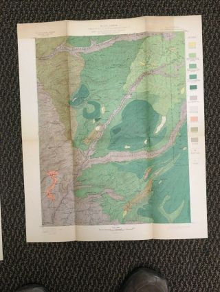
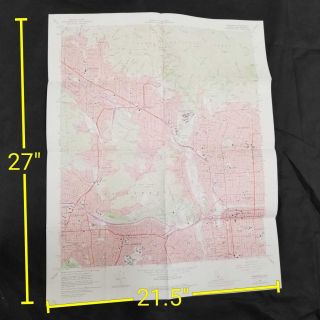
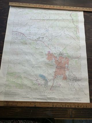
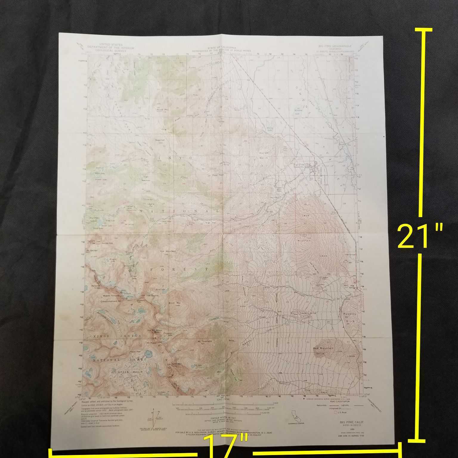
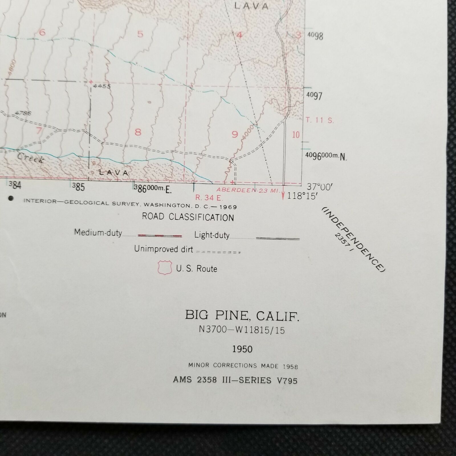
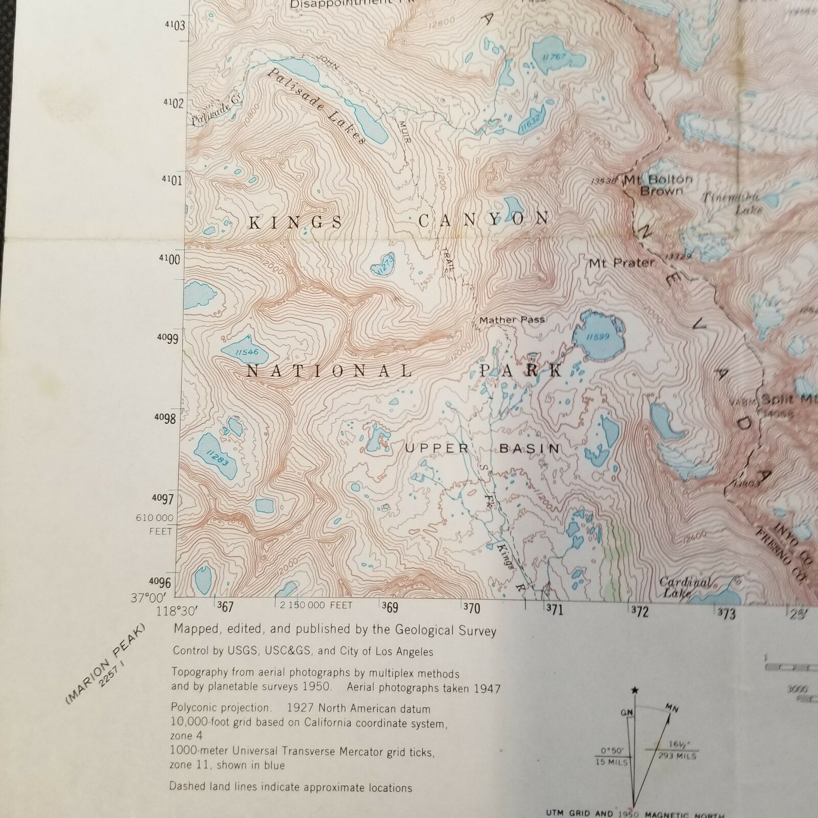
USGS Big Pine California 1958 Vintage Topographic Map


Item History & Price

Information:
Reference Number: Avaluer:19778972Type: Topographical Map
US State: CaliforniaYear: 1958
Format: Folding MapCountry/Region: United States of America
Printing Technique: Lithography


    Similar items


  • Vintage 1958 Usgs Liebre Mountain California National Forest Topographic Map

    Vintage 1958 Usgs Liebre Mountain California National Forest Topographic Map

  • Vintage Usgs Big Trees California 1899 Topographic And Timber Map

    Vintage Usgs Big Trees California 1899 Topographic And Timber Map

  • Vintage 1972 Usgs Pasadena California San Rafael Topographic Map

    Vintage 1972 Usgs Pasadena California San Rafael Topographic Map

  • Usgs Vintage Topographic Map San Luis Obispo Cal Poly Slo 1979

    Usgs Vintage Topographic Map San Luis Obispo Cal Poly Slo 1979

  • Usgs Garlock Quadrangle California Kern Vintage 1967 Topographic Map

    Usgs Garlock Quadrangle California Kern Vintage 1967 Topographic Map

  • Point Delgada California 1958 Vintage Usgs Topo Map

    Point Delgada California 1958 Vintage Usgs Topo Map

  • Stunning 1958 Vintage Panoramic Map Of Yosemite Valley - Usgs Topo Map

    Stunning 1958 Vintage Panoramic Map Of Yosemite Valley - Usgs Topo Map

  • Vintage Photo Postcard Mount Winehell Palisade Glacier Big Pine California

    Vintage Photo Postcard Mount Winehell Palisade Glacier Big Pine California


    • You might also like


    • 1860 Mitchell Hand Colored Map Colorado,  Nebraska & Kansas - Civil War Era

      1860 Mitchell Hand Colored Map Colorado, Nebraska & Kansas - Civil War Era

    • 18th Century French Map Of North America

      18th Century French Map Of North America

    • Las Vegas Nevada Vintage 1967 Us Geological Survey Quadrangle Map 4 Panels

      Las Vegas Nevada Vintage 1967 Us Geological Survey Quadrangle Map 4 Panels

    • Rare Antique 1845 Maps United States Exploring Expedition Book Antartica Hawaii

      Rare Antique 1845 Maps United States Exploring Expedition Book Antartica Hawaii

    • Vintage 1926 Map Hollywood From The Best Surveys Of The Time

      Vintage 1926 Map Hollywood From The Best Surveys Of The Time

    • American Continent (western Hemisphere) 1747 Bowen Antique Copper Engraved Map

      American Continent (western Hemisphere) 1747 Bowen Antique Copper Engraved Map

    • Gulf Coast Florida Texas United States 1705 De Fer Unusual Antique Engraved Map

      Gulf Coast Florida Texas United States 1705 De Fer Unusual Antique Engraved Map

    • California As Island United States 1700 De Fer Unusual First Edition Antique Map

      California As Island United States 1700 De Fer Unusual First Edition Antique Map

Avaluer          About Us          Privacy Policy          Contact Us          UP
© 2022, avaluer.net, Inc. or its affiliates