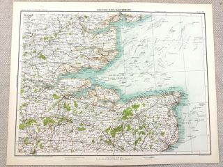
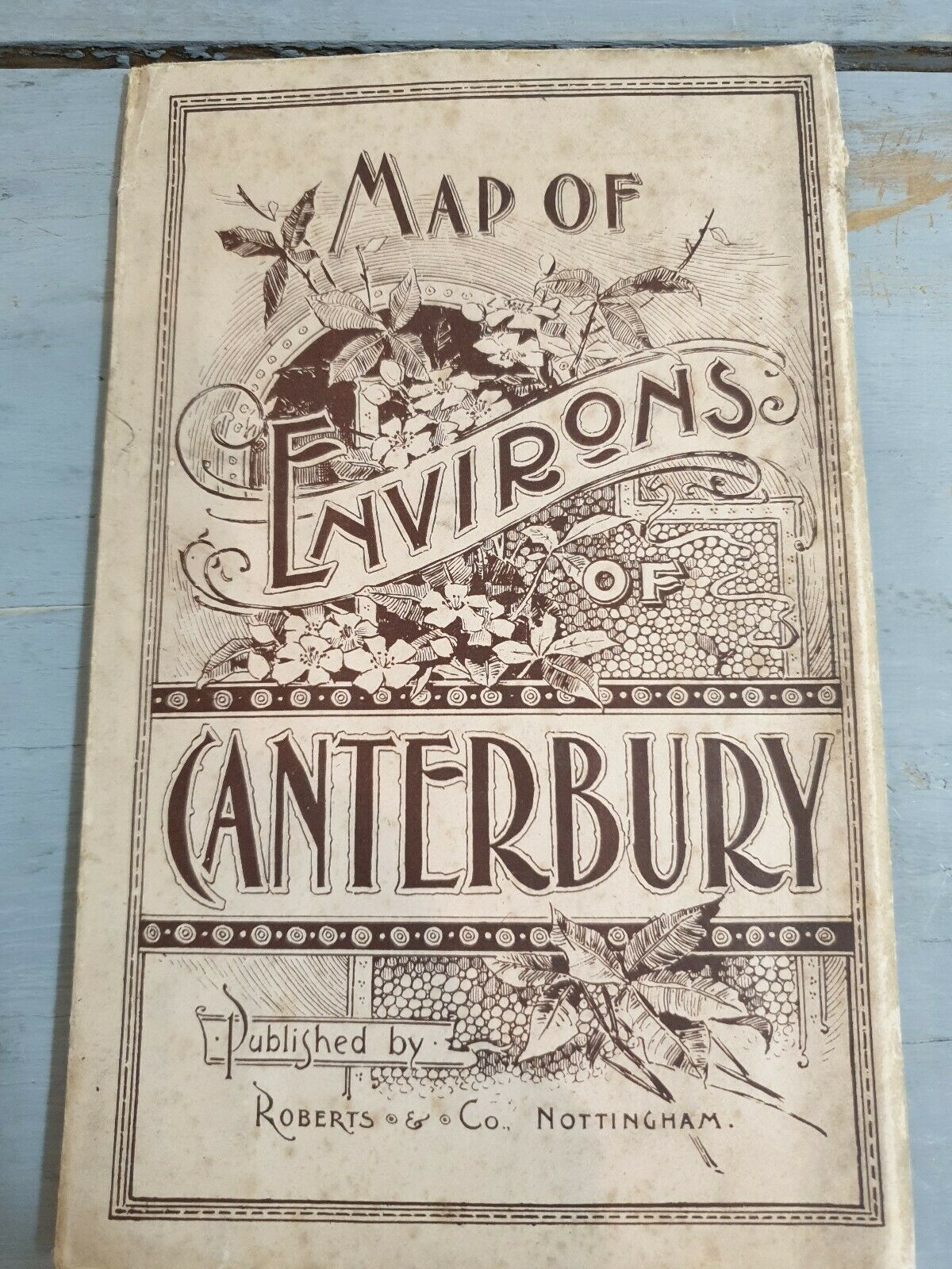
Map Of Environs Of Canterbury Kent Victorian Rare Antique Roberts Of Nottingham


Item History & Price

Information:
Reference Number: Avaluer:20049309Year: 1880
Type: Documents & MapsFormat: Folding Map
Original/Reproduction: OriginalCounty: Kent
Date Range: 1800-1899Cartographer/Publisher: Roberts & Co
City: CanterburyEra: 1800s
Original Description:
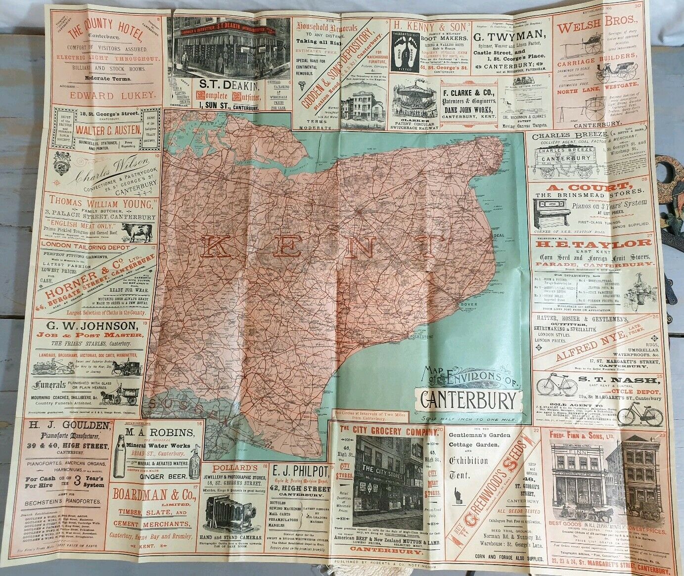
Map of Environs of Canterbury Kent Victorian Rare Antique Roberts of Nottingham.
Measures about 71 cm x 81 cm.
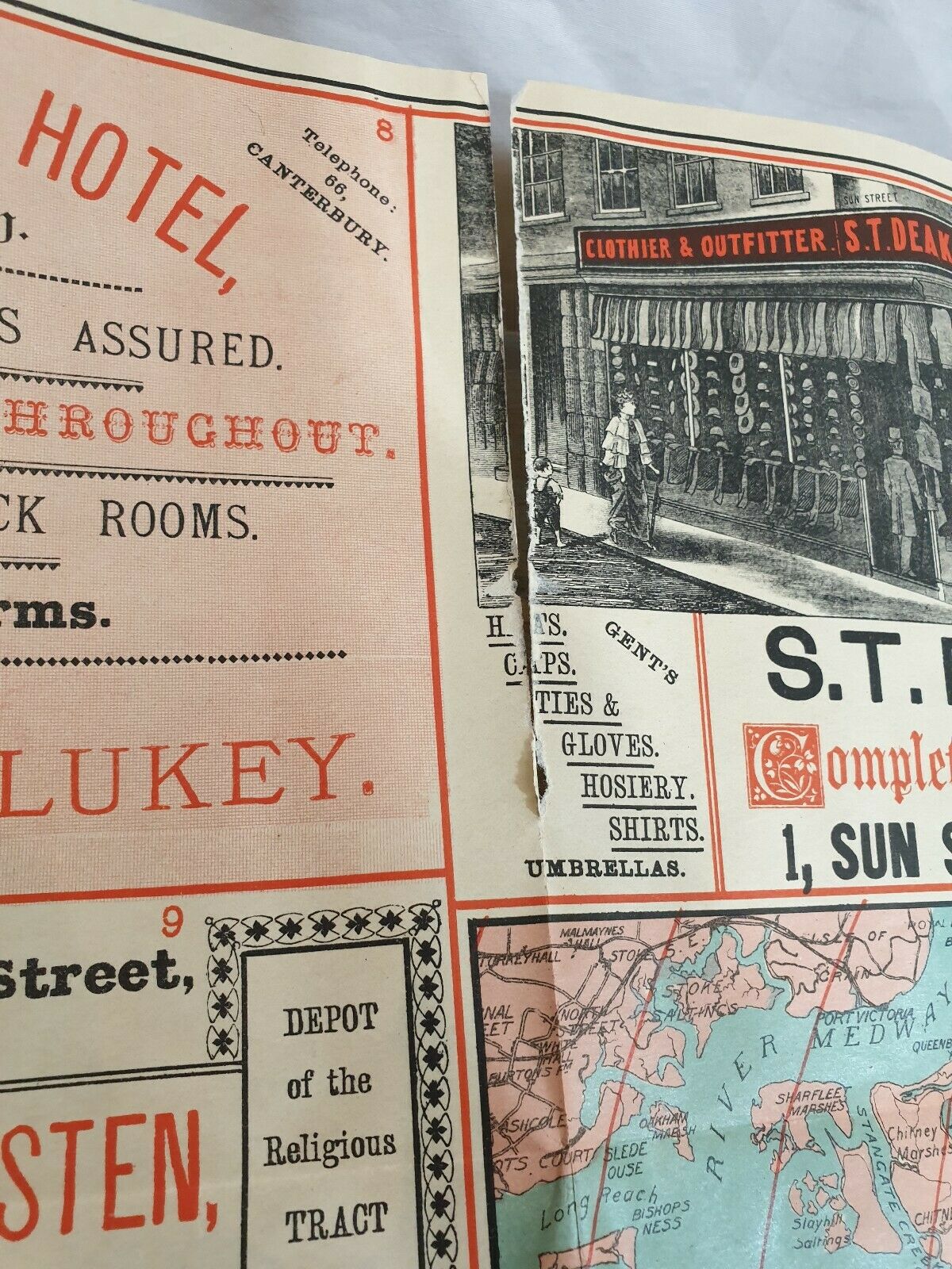
In good/fair condition with a tear top left and some splits on the folds.
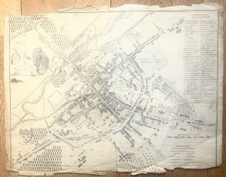
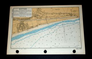
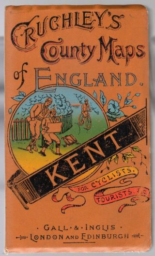
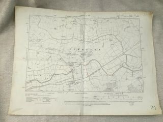
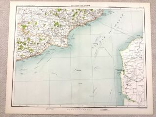
Please study all images as they form a large part of the description.


    Similar items


  • 1890 Antique Map Of Canterbury Kent Isle Of Sheppey 19th Century

    1890 Antique Map Of Canterbury Kent Isle Of Sheppey 19th Century

  • Very Early Map Of Canterbury,  Kent Interest

    Very Early Map Of Canterbury, Kent Interest

  • 1887 Map Of Japan Big 68x57 " Rare.

    1887 Map Of Japan Big 68x57 " Rare.

  • R.  Impey Murchison,  Geological Map Of England & Wales,  1855,  Rare,  Railways Inc

    R. Impey Murchison, Geological Map Of England & Wales, 1855, Rare, Railways Inc

  • Vintage Ww2 Naval Map Of Hythe,  Kent,  1943

    Vintage Ww2 Naval Map Of Hythe, Kent, 1943

  • Cruchleys County Maps Of England (kent) Antique Edwardian C.  1905 Gall & Ingus

    Cruchleys County Maps Of England (kent) Antique Edwardian C. 1905 Gall & Ingus

  • 1910 Antique Map Of Sussex Kent Newenden Ashford Rother Levels Old

    1910 Antique Map Of Sussex Kent Newenden Ashford Rother Levels Old

  • 1890 Antique Map Of Dover Kent Sussex Coastline 19th Century

    1890 Antique Map Of Dover Kent Sussex Coastline 19th Century


    • You might also like


    • Hungary & Romania 1579 (1584) Ortelius Unusual Antique Copper Engraved Map

      Hungary & Romania 1579 (1584) Ortelius Unusual Antique Copper Engraved Map

    • Brussels Bruxelles Belfium 1777 De Ferraris & Dupuis Large Antique Map Sheet Xxi

      Brussels Bruxelles Belfium 1777 De Ferraris & Dupuis Large Antique Map Sheet Xxi

    • 1616 Atlas Map Of Iceland.

      1616 Atlas Map Of Iceland.

    • Kazan Russia 1767 Le Clerc/lespinasse Antique Copper Engraved City View

      Kazan Russia 1767 Le Clerc/lespinasse Antique Copper Engraved City View

    • 1899 Stanford,  Folding Map Of Norwich,  Norfolk,  Arthur Collins,  Jarrold & Sons,

      1899 Stanford, Folding Map Of Norwich, Norfolk, Arthur Collins, Jarrold & Sons,

    • 1948 Vintage Linen Colour Map Geological Survey Ten Mile Of Great Britain

      1948 Vintage Linen Colour Map Geological Survey Ten Mile Of Great Britain

    • 1944 Map Flying Bombs Sussex Ww2 Newspaper Military Kent Courier German V1 V2

      1944 Map Flying Bombs Sussex Ww2 Newspaper Military Kent Courier German V1 V2

    • Dated 1638 Vellum Map Of Icklesham Sussex Showing Land Uses Owners Etc

      Dated 1638 Vellum Map Of Icklesham Sussex Showing Land Uses Owners Etc

Avaluer          About Us          Privacy Policy          Contact Us          UP
© 2022, avaluer.net, Inc. or its affiliates