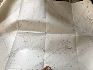
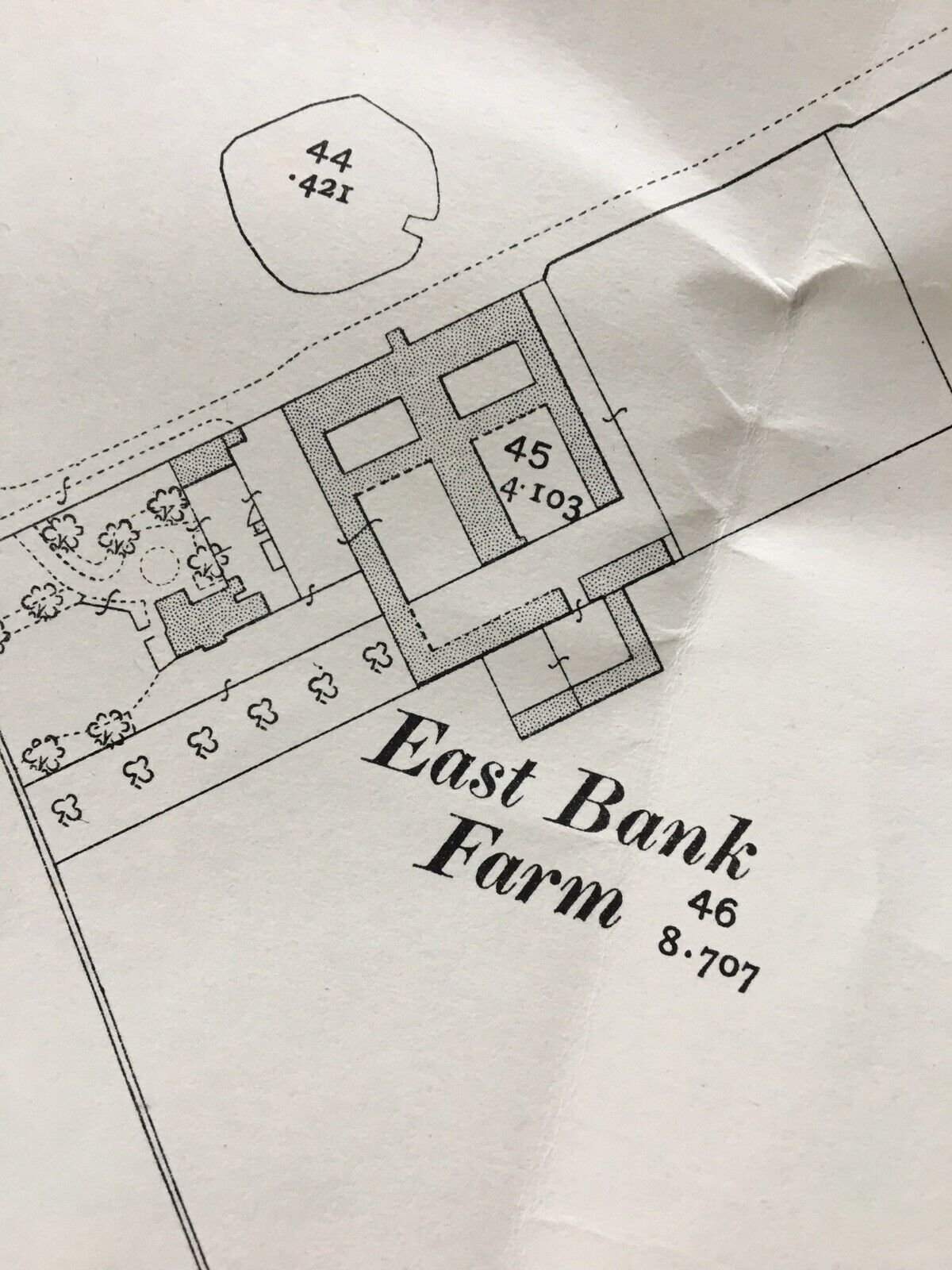
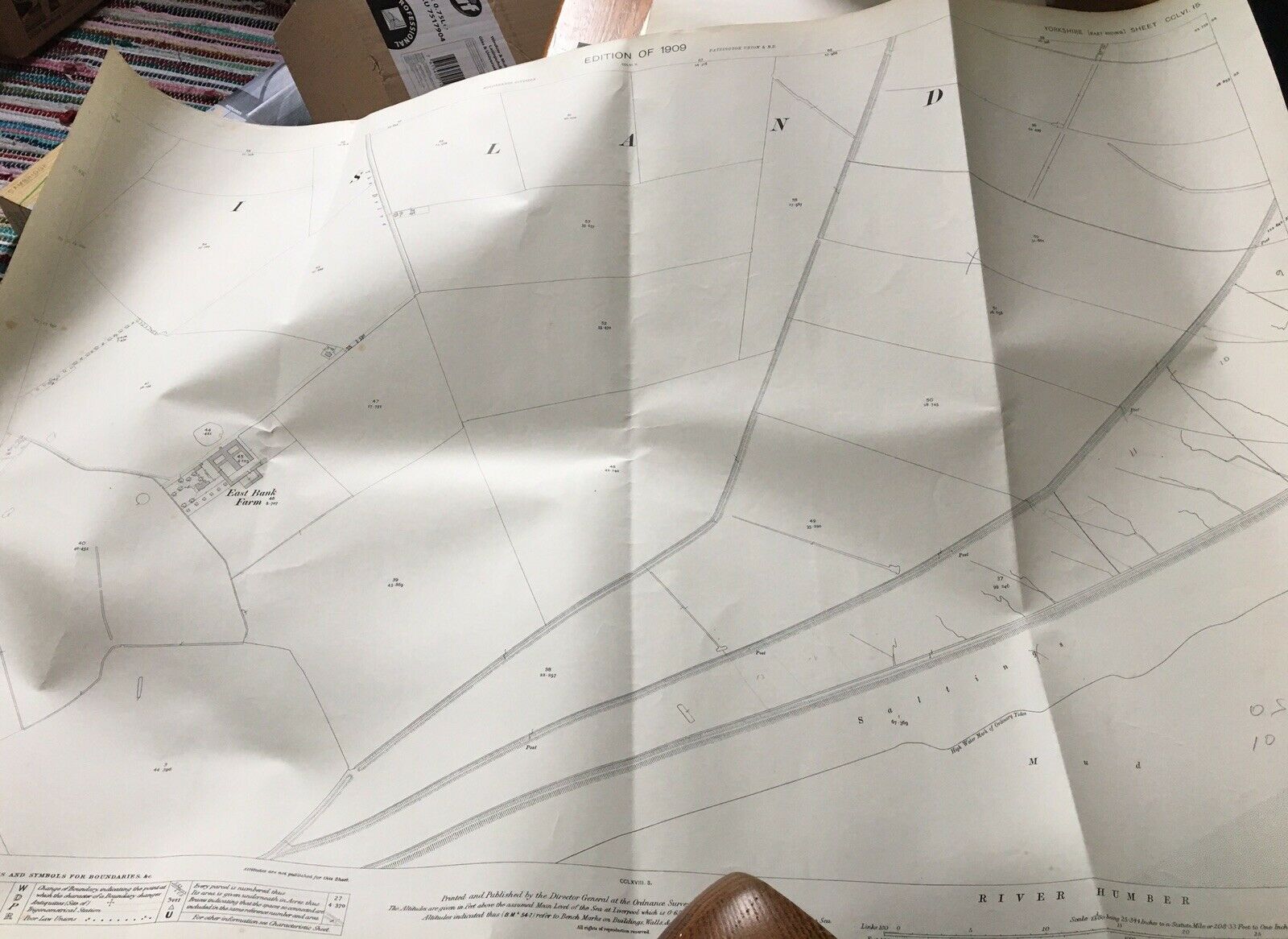
1910 Antique Vintage Map Plan SUNK ISLAND SANDS 2 Patrington Holderness Mud Flat


Item History & Price

Information:
Reference Number: Avaluer:20062475Year: 1909
Type: Village Parish Map PlanFormat: Sheet Map
Original/Reproduction: Antique OriginalCounty: Yorkshire
Date Range: 1900-1909Era: 1900s
Printing Technique: LithographyCartographer/Publisher: Ordnance Survey Office
Country/Region: United Kingdom
Original Description:
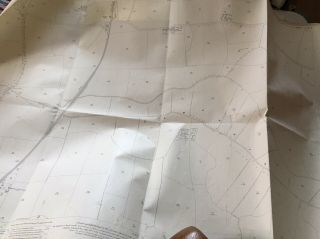
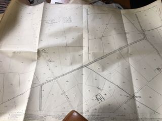
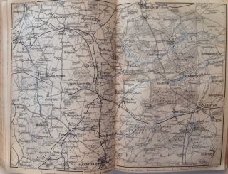
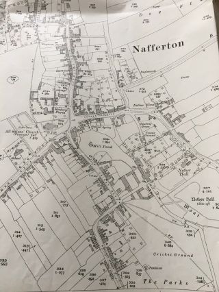
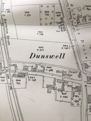
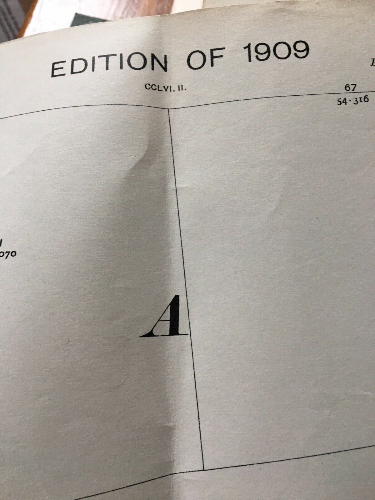
An Original Ordnance Survey Map or plan.
104x75cm - ideal for framing -
Has been folded and some creasing. Folds don’t appear to show on photos as they have been disguised by the camera flash. May have some slight edge tears but overall good despite the age.
From a council office but a good interior design piece.


    Similar items


  • 1927 Antique Vintage Map Plan Lner Hornsea Branch Railway Line Marton Parish Okf

    1927 Antique Vintage Map Plan Lner Hornsea Branch Railway Line Marton Parish Okf

  • 1928 Antique Vintage Map Plan Wawne Bransholme Hull Countryside Farm Fields

    1928 Antique Vintage Map Plan Wawne Bransholme Hull Countryside Farm Fields

  • Worksop,  Mansfield,  Great Britain,  1910,  Antique Vintage Map,  Atlas

    Worksop, Mansfield, Great Britain, 1910, Antique Vintage Map, Atlas

  • 1927 Antique Vintage Map Plan Nafferton Nr Driffield East Yorkshire Village

    1927 Antique Vintage Map Plan Nafferton Nr Driffield East Yorkshire Village

  • 1909 Antique Vintage Map Plan Welhambridge Farm Bursea Holme On Spalding Moor

    1909 Antique Vintage Map Plan Welhambridge Farm Bursea Holme On Spalding Moor

  • Etna.  Italy.  Britannica 9th Edition 1898 Old Antique Vintage Map Plan Chart

    Etna. Italy. Britannica 9th Edition 1898 Old Antique Vintage Map Plan Chart

  • 1928 Antique Vintage Map Plan Dunswell Nr Beverley River Hull Farms Fields Ings

    1928 Antique Vintage Map Plan Dunswell Nr Beverley River Hull Farms Fields Ings

  • Uk.  Central London; Edinburgh; Dublin 1907 Old Antique Vintage Map Plan Chart

    Uk. Central London; Edinburgh; Dublin 1907 Old Antique Vintage Map Plan Chart


    • You might also like


    • Hungary & Romania 1579 (1584) Ortelius Unusual Antique Copper Engraved Map

      Hungary & Romania 1579 (1584) Ortelius Unusual Antique Copper Engraved Map

    • Brussels Bruxelles Belfium 1777 De Ferraris & Dupuis Large Antique Map Sheet Xxi

      Brussels Bruxelles Belfium 1777 De Ferraris & Dupuis Large Antique Map Sheet Xxi

    • 1616 Atlas Map Of Iceland.

      1616 Atlas Map Of Iceland.

    • Kazan Russia 1767 Le Clerc/lespinasse Antique Copper Engraved City View

      Kazan Russia 1767 Le Clerc/lespinasse Antique Copper Engraved City View

    • 1899 Stanford,  Folding Map Of Norwich,  Norfolk,  Arthur Collins,  Jarrold & Sons,

      1899 Stanford, Folding Map Of Norwich, Norfolk, Arthur Collins, Jarrold & Sons,

    • 1948 Vintage Linen Colour Map Geological Survey Ten Mile Of Great Britain

      1948 Vintage Linen Colour Map Geological Survey Ten Mile Of Great Britain

    • 1944 Map Flying Bombs Sussex Ww2 Newspaper Military Kent Courier German V1 V2

      1944 Map Flying Bombs Sussex Ww2 Newspaper Military Kent Courier German V1 V2

    • Dated 1638 Vellum Map Of Icklesham Sussex Showing Land Uses Owners Etc

      Dated 1638 Vellum Map Of Icklesham Sussex Showing Land Uses Owners Etc

Avaluer          About Us          Privacy Policy          Contact Us          UP
© 2022, avaluer.net, Inc. or its affiliates