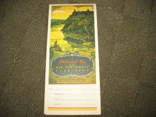
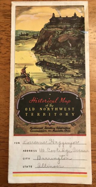
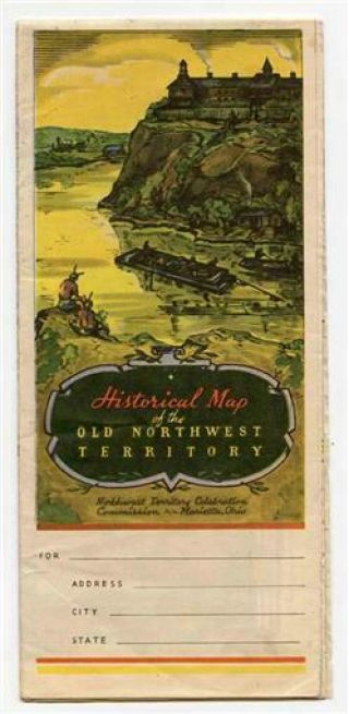
1937 Historical Map Of Old Northwest Territory Michigan Illinois Indiana Ohio


Item History & Price
| Reference Number: Avaluer:20090016 | Year: 1937 |
| US State: Ohio | Canadian Province: Northwest Territories |
1937 Historical Map Of Old Northwest Territory Michigan Illinois Indiana Ohio. This is an original, not a reprint. Federal art project F Rentschler artist. Work progress administration of Ohio. Map has a few tears and creases but is in generally good condition as seen in pics. Map is amour 17x22 inches and folds down to about 4x9 inches.

![1937 Historical Pictorial Map Of The Old Northwest Territory [18x23]](https://pic-d.avaluer.net/imgstmb/b/h/q/d/g/-1937_historical_pictorial_map_of_the_old_northwest_territory_18x23-1_110_tmb.jpg)
![Historical Map Of The Old Northwest Territory Pictorial Map (1930s) [17x22] Guc](https://pic-d.avaluer.net/imgstmb/b/j/h/m/h/-historical_map_of_the_old_northwest_territory_pictorial_map_1930s_17x22_guc-1_105_tmb.jpg)