1816 Old Testament Geography Copper Plate Engraved Map

Item History & Price
| Reference Number: Avaluer:20114497 | Antique/ Modern: Antique |
| Type: Religious | Format: Folding Map |
| Printing Technique: Copper Plate | Year: 1816 |
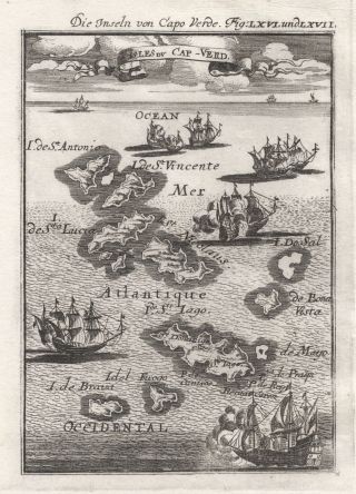
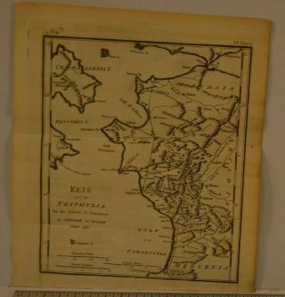
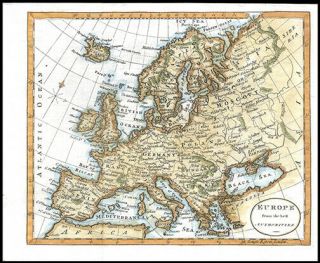
GENUINE COPPER PLATE ENGRAVED ANTIQUE MAP FROM:SCRIPTURE HELP, 7th Edition, CIRCA 1820.MAP PUBLISHED L. B. SEELEY, 1816.Condition/Description: Title: OLD TESTAMENT GEOGRAPHY - Illustrative of the History of the Old Testament. 3 folds as issued, measuring 19cm x 15cm with margins beyond, blank verso, good condition, some very light toning, small fold split top margin not affecting image, suitable for reference and/or framing - please refer to image and examine carefully. Than...k you.GENUINE MAP. NOT A COPY. NOT A REPRODUCTION.GUARANTEED ALMOST 200 YEAR OLD.
MONEY BACK GUARANTEE IF NOT COMPLETELY SATISFIED.bf2sh1
Track Page Views With
Auctiva's FREE Counter
MONEY BACK GUARANTEE IF NOT COMPLETELY SATISFIED.bf2sh1
Track Page Views With
Auctiva's FREE Counter