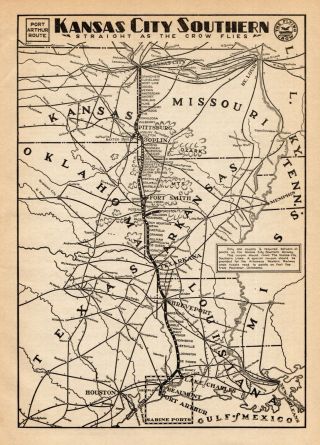
KS XL 1901 KANSAS RAILROAD Map Business RAILWAYS 1900s LEAVENWORTH & TOPEKA RR


Item History & Price
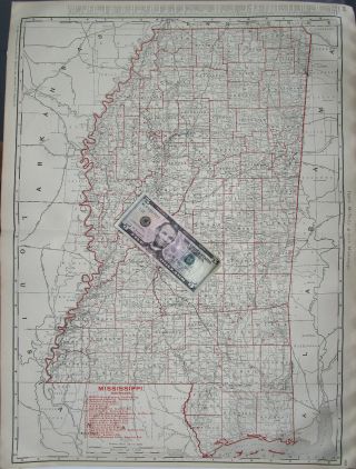
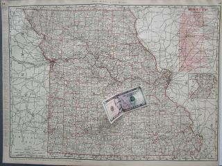
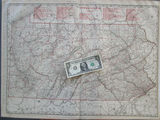
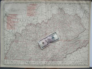
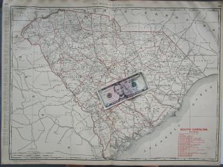
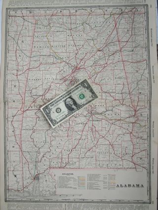
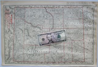
Combined shipping is offered in the shopping cart.Multiple payments will result in multiple shipments.Genuine antique "Rand McNally New Business Atlas Map of Kansas" DATED 1888 and 1901 under the scale. The list of railroads are numbered to correspond with routes on the map. Freight companies are next the the RR co. name.
Sourced from the 1901 edition Rand McNally Business Atlas.25 3/4" wide x 18 3/4" tall inside the border with margin beyond. Sheet size about 20 1/2" x 27 1.../4". Black, white, and red colored matte finish continuous seam "tipped-in" double page map. The other sides are text.
Overall fine. Some margin staining. Impressive for 117 years old. Zoom to inspect. You will receive this map.
Shipped rolled in a extra long tube due to size.
Indiana residents add 7% sales tax.More Kansas maps here:https://www.ebay.com/sch/m.html?_odkw=&_sop=1&_ssn=ancestorstocks&hash=item2ee0ae7454&item=201338025044&pt=LH_DefaultDomain_0&_osacat=0&_from=R40&_trksid=p2046732.m570.l1313.TR12.TRC2.A0.H0.XKansas.TRS0&_nkw=Kansas&_sacat=0
INV: Q.1901-2.XL.McN.BUS.300.301