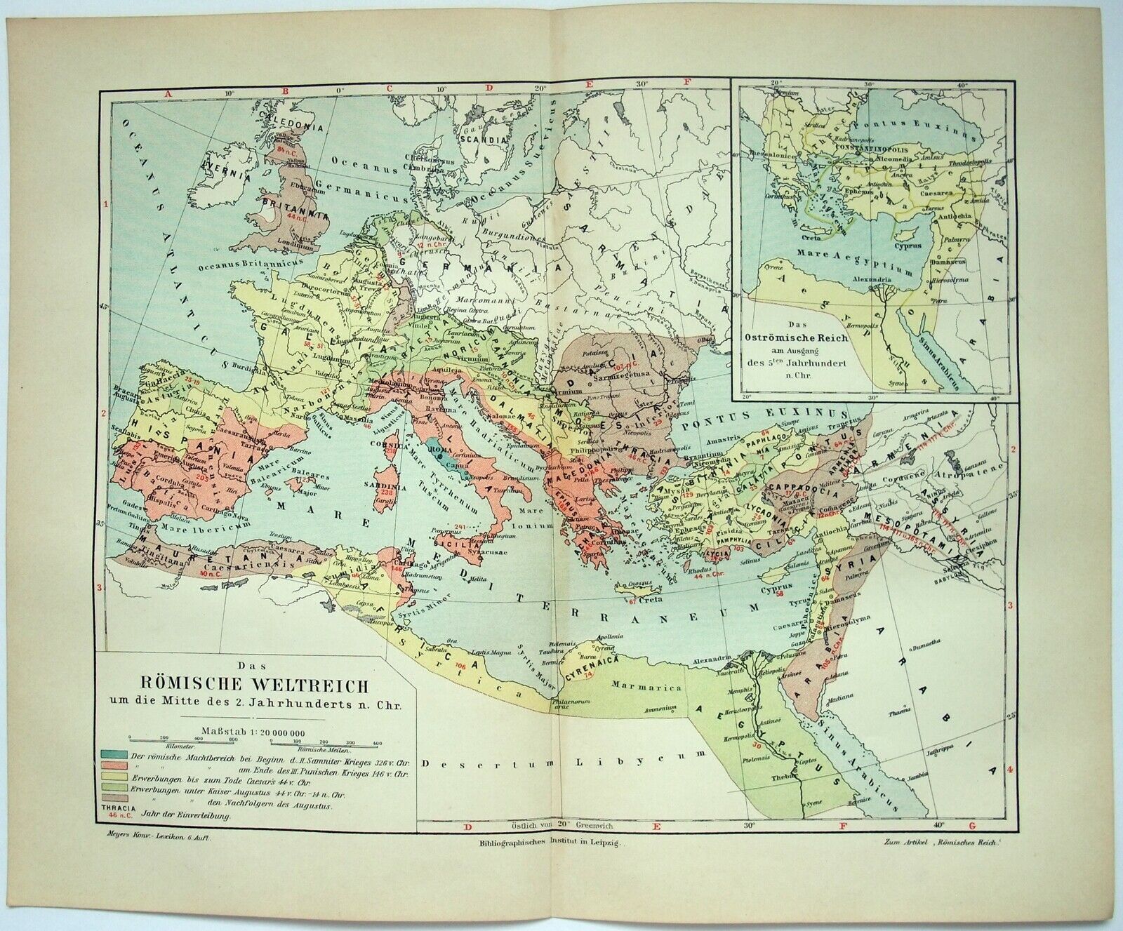
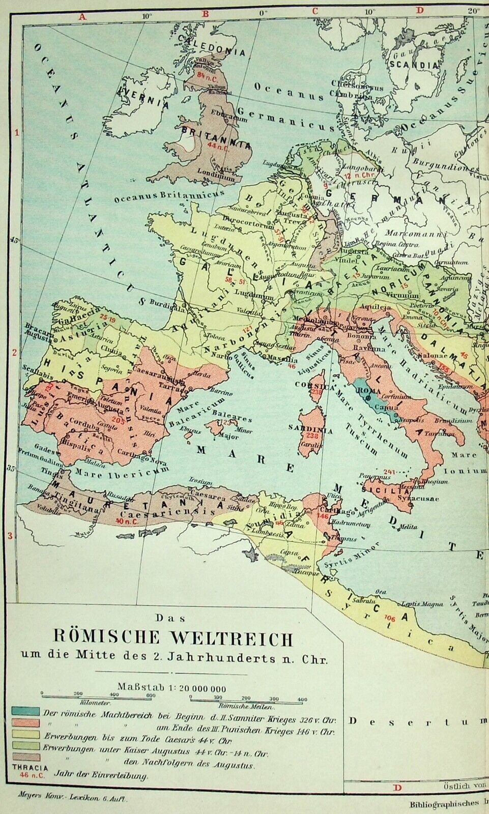
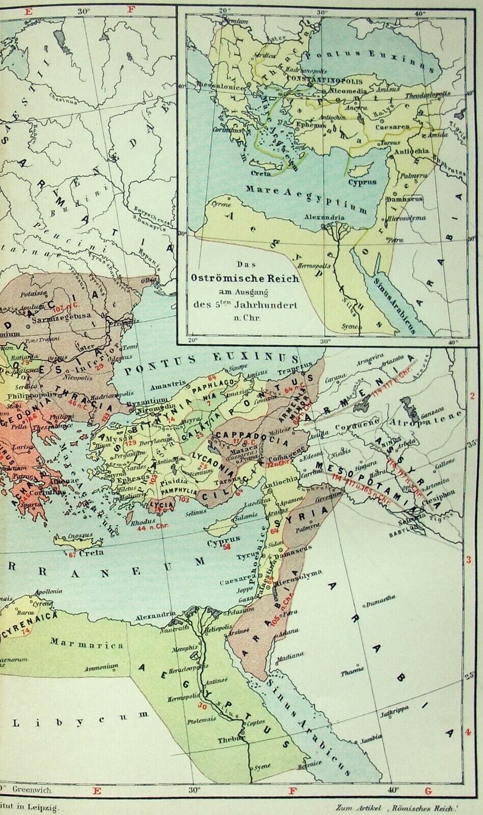
1907 Map Of The Roman Empire In The Middle Of The Second Century AD By Meyers
Item History & Price

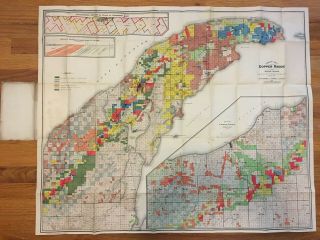
Antique 1907 Map Of The Copper Range Of Northern Michigan By R. M. Edwards
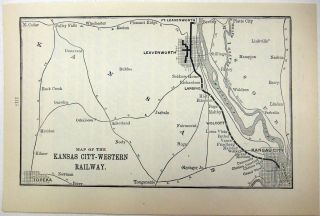
1907 Map Of The Kansas City - Western Railway
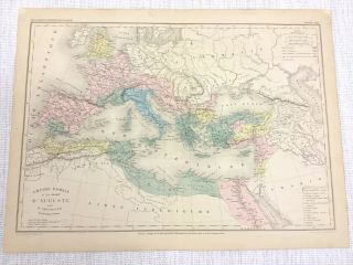
1877 Antique Map Of Ancient Roman Empire Emperor Augustus Hand Coloured French
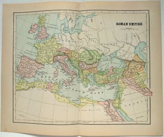
Antique Map Of The Roman Empire At Its Peak In The 2nd Century By Hunt & Eaton
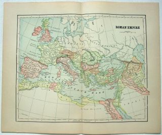
Antique Map Of The Roman Empire At Its Peak In The 2nd Century By Hunt & Eaton
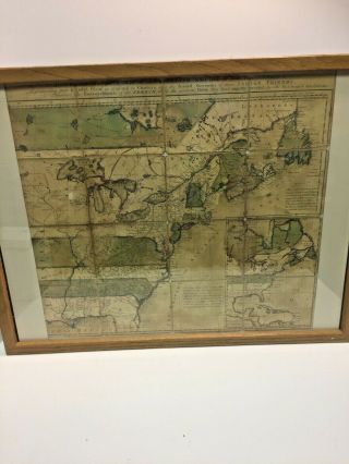
Undated A And Accurate Map Of The English Empire In The United States Framed
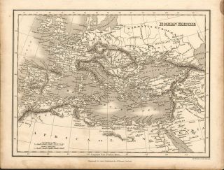
1828 Map Of The Roman Empire. Engraved For & Published By J. Vincent Of Oxford
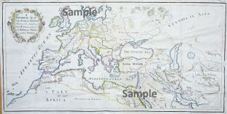
C 1760 Detailed Map Of The Roman Empire

Hungary & Romania 1579 (1584) Ortelius Unusual Antique Copper Engraved Map

Brussels Bruxelles Belfium 1777 De Ferraris & Dupuis Large Antique Map Sheet Xxi

1616 Atlas Map Of Iceland.

Kazan Russia 1767 Le Clerc/lespinasse Antique Copper Engraved City View

1899 Stanford, Folding Map Of Norwich, Norfolk, Arthur Collins, Jarrold & Sons,

1948 Vintage Linen Colour Map Geological Survey Ten Mile Of Great Britain

1944 Map Flying Bombs Sussex Ww2 Newspaper Military Kent Courier German V1 V2

Dated 1638 Vellum Map Of Icklesham Sussex Showing Land Uses Owners Etc