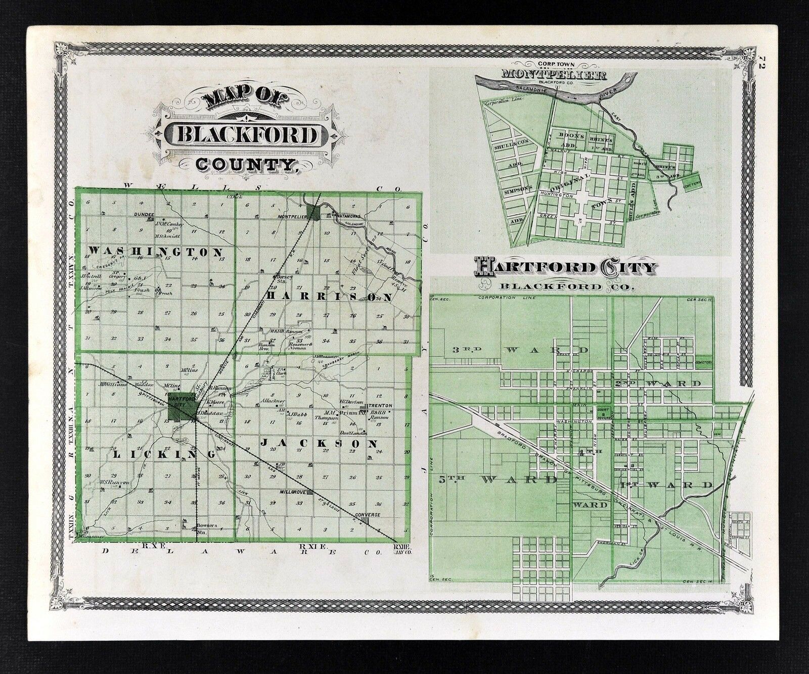
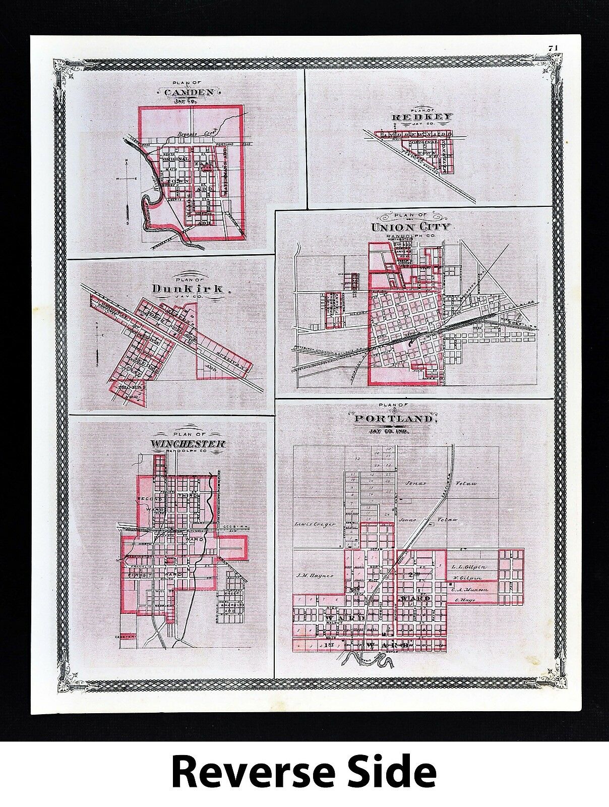
1876 Indiana County Map - Blackford With Hartford City Montpelier Plans
Item History & Price
| Reference Number: Avaluer:20318692 | Region: North America |
| US by Areas: IL, IN, MI, OH, WI | North American Regions: United States |
| Product Type: Maps & Atlases |

| Reference Number: Avaluer:20318692 | Region: North America |
| US by Areas: IL, IN, MI, OH, WI | North American Regions: United States |
| Product Type: Maps & Atlases |
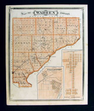
1876 Indiana County Map Warren Williamsport Fowler Stockwell Fowler Elston Plan
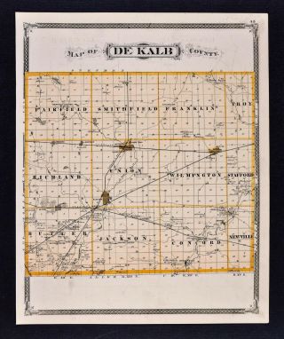
1876 Indiana County Map - De Kalb - Waterloo Auburn Butler Albion Columbia City

Intage Modern Reprint Illustrated Historical Atlas Indiana County Maps Of 1876
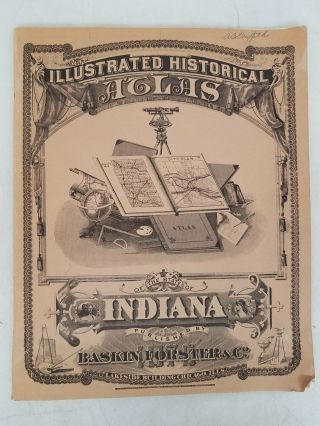
Vintage 1968 Reprint Of 1876 Indiana County Atlas By Baskin, Forester, & Co. Dr
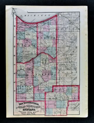
1870 Asher & Adams Indiana County Map Valparaiso Lake Porter Jasper Newton White
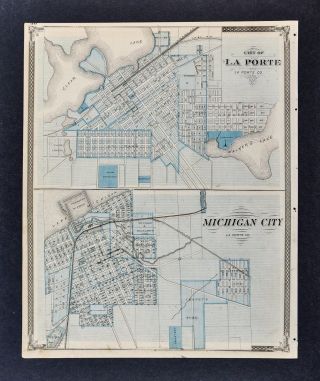
1876 Indiana Atlas Map Plans La Porte Michigan City & Valparaiso Monticello In
Sherwin Williams Paint 1880s 2 - Sided Puzzle Indiana County Map / Victorian House
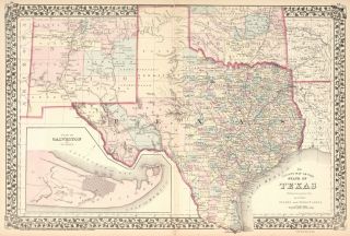
Striking 1876 Texas County Map Forts Trails Rails 16 X 20 "

1860 Mitchell Hand Colored Map Colorado, Nebraska & Kansas - Civil War Era

18th Century French Map Of North America

Las Vegas Nevada Vintage 1967 Us Geological Survey Quadrangle Map 4 Panels

Rare Antique 1845 Maps United States Exploring Expedition Book Antartica Hawaii

Vintage 1926 Map Hollywood From The Best Surveys Of The Time

American Continent (western Hemisphere) 1747 Bowen Antique Copper Engraved Map

Gulf Coast Florida Texas United States 1705 De Fer Unusual Antique Engraved Map

California As Island United States 1700 De Fer Unusual First Edition Antique Map