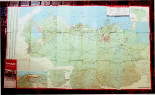
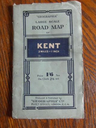
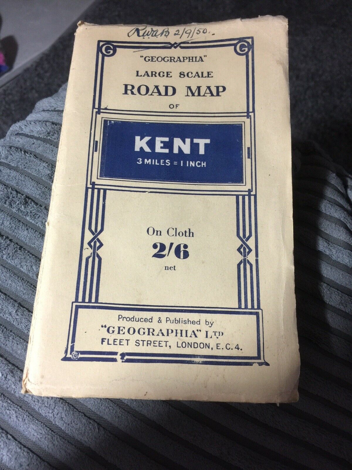
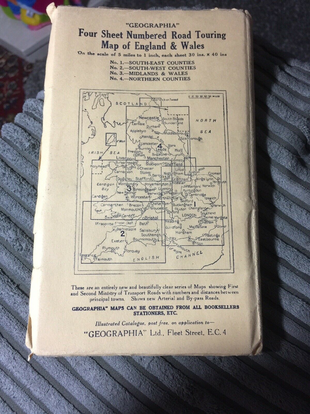
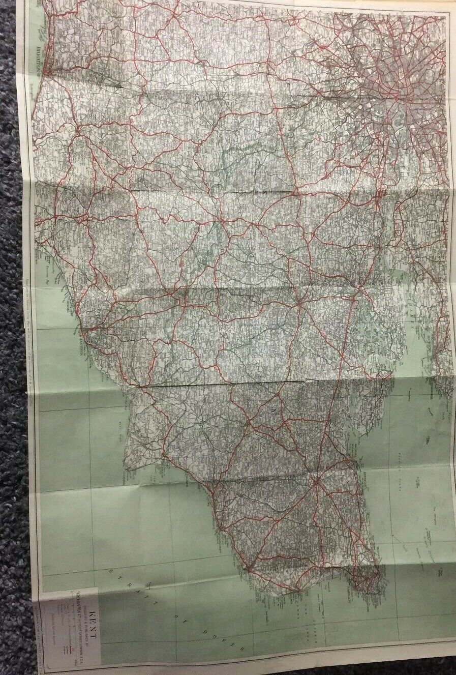
Rare Vintage 1950 Large Road Map Of KENT.
Item History & Price
| Reference Number: Avaluer:20339711 | Year: 1950 |
| County: Kent |
Rare Vintage 1950 Large Road Map Of KENT.. Dispatched with Royal Mail 2nd Class Large Letter.please see our other items from a no smoking home as you can see this map is in very good condition and could be framed