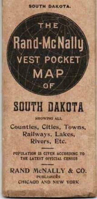
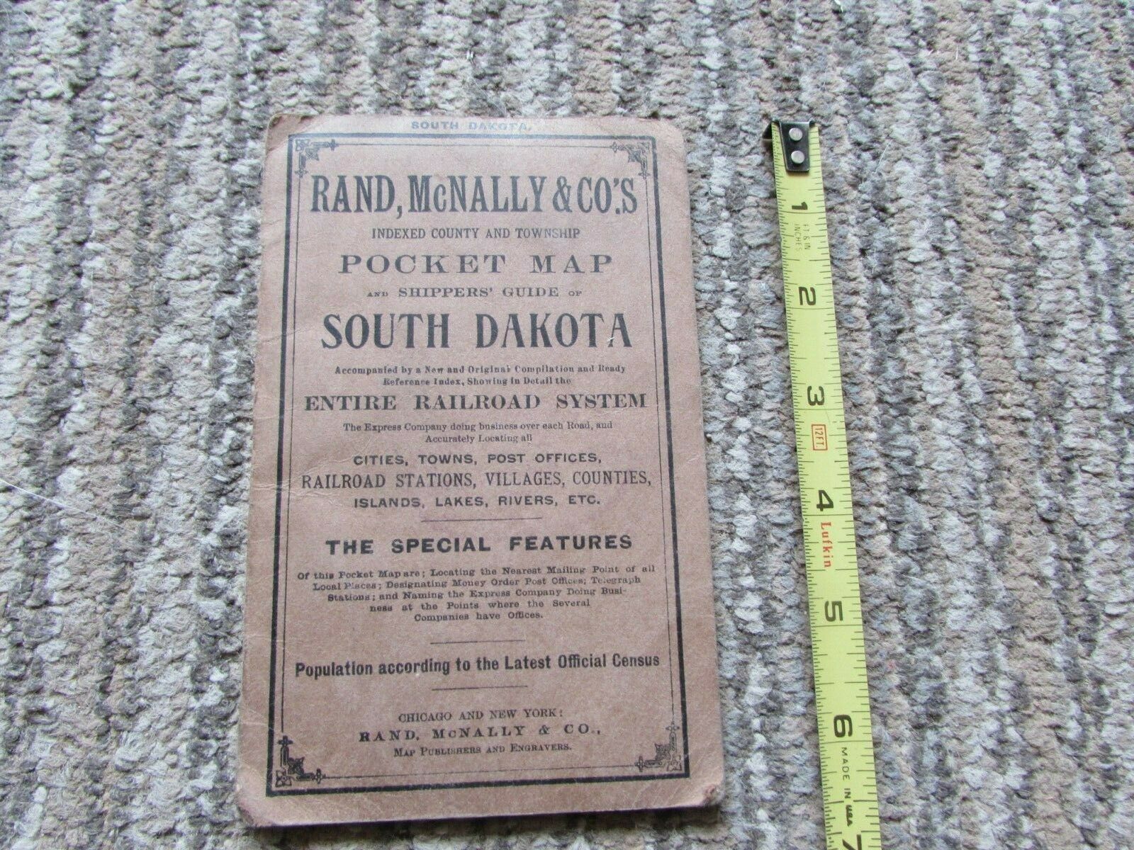
1906 Rand McNally Pocket Map Of SOUTH DAKOTA, Incl Railroad Syst. , Indian Res. ,


Item History & Price

Information:
Reference Number: Avaluer:20439292
Original Description:
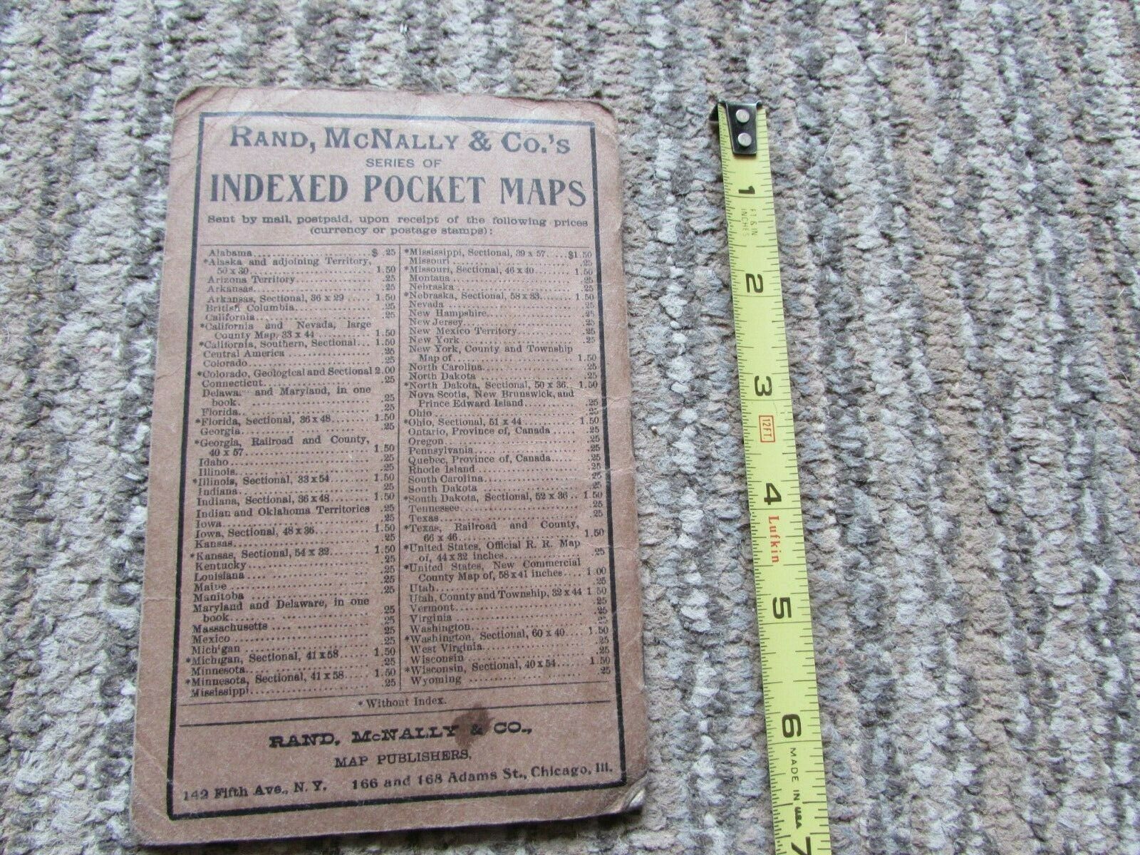
Original 1906 Rand McNally Indexed County & Township POCKET MAP of SOUTH DAKOTA ... incl Entire Railroad System ... + Cities, Towns, Post offices, Railroad Stations, Villages, Islands, Lakes, Rivers, &c.  Also includes Standing Rock, Cheyenne River, Lower Brule, Fall River & Rosebud Indian Reservations & more.  Complete.  Mdt wear.  Map itself has approx 5" closed tear to mid-left side (see photos, ) o/w is excellent.  P/O's info on back side of... map (dated 1907, ) & again inside rear cover.  Please examine photos above, disregard any photo glare or camera shadow, & contact me with any questions.


    Similar items


  • Rand - Mcnally Vest Pocket Map Of South Dakota Showing All Counties Cities 1914

    Rand - Mcnally Vest Pocket Map Of South Dakota Showing All Counties Cities 1914

  • 1899 Virginia Rand Mcnally Pocket Map Of Entire Railroad System With Foldout Map

    1899 Virginia Rand Mcnally Pocket Map Of Entire Railroad System With Foldout Map

  • Rand Mcnally Pocket Map Of United States,  1937,  Rare,  Vintage,  Very Good

    Rand Mcnally Pocket Map Of United States, 1937, Rare, Vintage, Very Good

  • 1946 Rand Mcnally " Pocket Maps Of Michigan " Reference Guide (47 Pages, )

    1946 Rand Mcnally " Pocket Maps Of Michigan " Reference Guide (47 Pages, )

  • Rand Mcnally Pocket Map Of Pennsylvania With 1920 Census

    Rand Mcnally Pocket Map Of Pennsylvania With 1920 Census

  • Rand Mcnally Pocket Map Of Mexico And Shippers

    Rand Mcnally Pocket Map Of Mexico And Shippers ' Guide, 1911

  • Rand Mcnally Pocket Map Of Wyoming,  1911,

    Rand Mcnally Pocket Map Of Wyoming, 1911,

  • Rand Mcnally Pocket Map Of Alberta,  And Shippers

    Rand Mcnally Pocket Map Of Alberta, And Shippers ' Guide, 1913


    • You might also like


    • 1860 Mitchell Hand Colored Map Colorado,  Nebraska & Kansas - Civil War Era

      1860 Mitchell Hand Colored Map Colorado, Nebraska & Kansas - Civil War Era

    • 18th Century French Map Of North America

      18th Century French Map Of North America

    • Las Vegas Nevada Vintage 1967 Us Geological Survey Quadrangle Map 4 Panels

      Las Vegas Nevada Vintage 1967 Us Geological Survey Quadrangle Map 4 Panels

    • Rare Antique 1845 Maps United States Exploring Expedition Book Antartica Hawaii

      Rare Antique 1845 Maps United States Exploring Expedition Book Antartica Hawaii

    • Vintage 1926 Map Hollywood From The Best Surveys Of The Time

      Vintage 1926 Map Hollywood From The Best Surveys Of The Time

    • American Continent (western Hemisphere) 1747 Bowen Antique Copper Engraved Map

      American Continent (western Hemisphere) 1747 Bowen Antique Copper Engraved Map

    • Gulf Coast Florida Texas United States 1705 De Fer Unusual Antique Engraved Map

      Gulf Coast Florida Texas United States 1705 De Fer Unusual Antique Engraved Map

    • California As Island United States 1700 De Fer Unusual First Edition Antique Map

      California As Island United States 1700 De Fer Unusual First Edition Antique Map

Avaluer          About Us          Privacy Policy          Contact Us          UP
© 2022, avaluer.net, Inc. or its affiliates