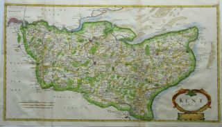
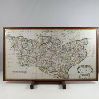
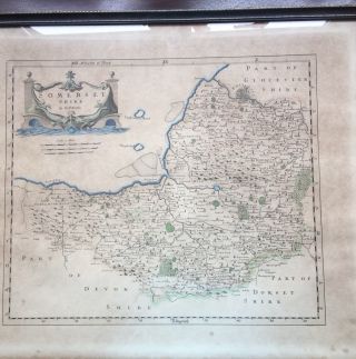
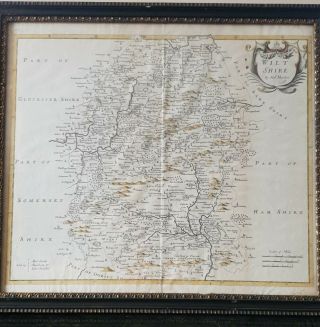
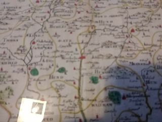
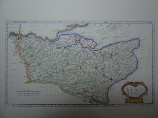
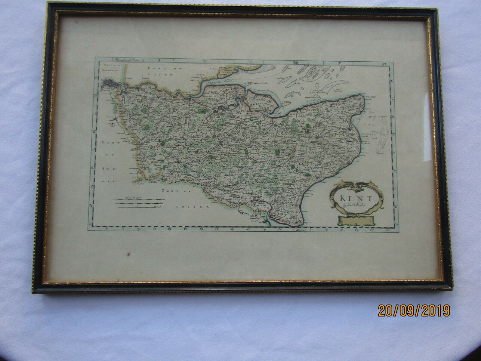
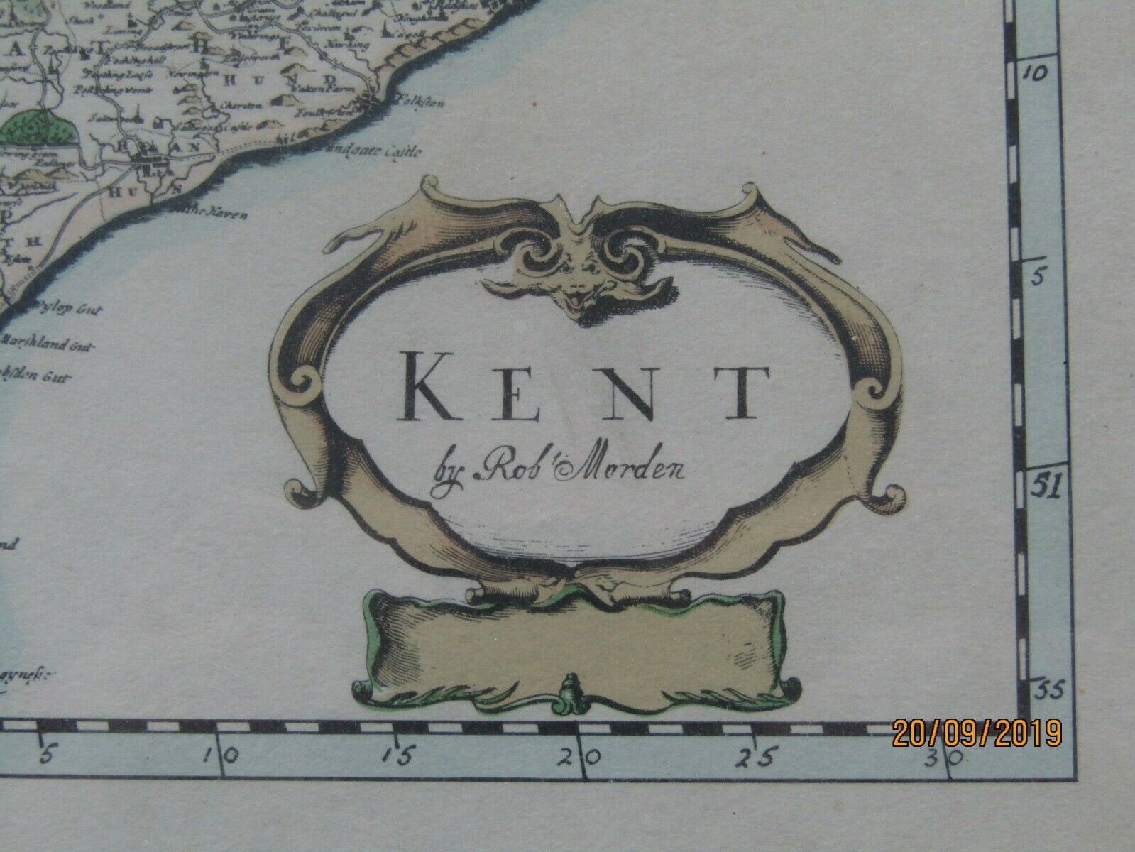
Framed Vintage Map Of Kent By Robert Morden


Item History & Price

Information:
Reference Number: Avaluer:20518385County: Kent
Original Description:
Framed vintage map of Kent by Robert Morden. I do not think this is an original map from the C18 but a more recent copy. However it still looks great and will be of interest to anyone of a Kentish leaning.I would prefer to have this collected rather than post it due to it being glass.Any questions please ask.


    Similar items


  • Antique Map Of Kent By Robert Morden 1753

    Antique Map Of Kent By Robert Morden 1753

  • Antique Map Of Kent By Robert Morden C.  1695

    Antique Map Of Kent By Robert Morden C. 1695

  • Framed Antique Map Of Devonshire By Robert Morden.  10” X 8” By Abel Swale.

    Framed Antique Map Of Devonshire By Robert Morden. 10” X 8” By Abel Swale.

  • Vintage Framed Behind Glass Map Of Oxfordshire By Robert Morden

    Vintage Framed Behind Glass Map Of Oxfordshire By Robert Morden

  • Map Of Somerset By Robert Morden (framed)

    Map Of Somerset By Robert Morden (framed)

  • A 1695 Map Of Wiltshire By Robert Morden Framed

    A 1695 Map Of Wiltshire By Robert Morden Framed

  • Antique Map Of Hampshire By Robert Morden Framed

    Antique Map Of Hampshire By Robert Morden Framed

  • Old Coloured Antique Map Of The County Of Kent By Robert Morden

    Old Coloured Antique Map Of The County Of Kent By Robert Morden


    • You might also like


    • Hungary & Romania 1579 (1584) Ortelius Unusual Antique Copper Engraved Map

      Hungary & Romania 1579 (1584) Ortelius Unusual Antique Copper Engraved Map

    • Brussels Bruxelles Belfium 1777 De Ferraris & Dupuis Large Antique Map Sheet Xxi

      Brussels Bruxelles Belfium 1777 De Ferraris & Dupuis Large Antique Map Sheet Xxi

    • 1616 Atlas Map Of Iceland.

      1616 Atlas Map Of Iceland.

    • Kazan Russia 1767 Le Clerc/lespinasse Antique Copper Engraved City View

      Kazan Russia 1767 Le Clerc/lespinasse Antique Copper Engraved City View

    • 1899 Stanford,  Folding Map Of Norwich,  Norfolk,  Arthur Collins,  Jarrold & Sons,

      1899 Stanford, Folding Map Of Norwich, Norfolk, Arthur Collins, Jarrold & Sons,

    • 1948 Vintage Linen Colour Map Geological Survey Ten Mile Of Great Britain

      1948 Vintage Linen Colour Map Geological Survey Ten Mile Of Great Britain

    • 1944 Map Flying Bombs Sussex Ww2 Newspaper Military Kent Courier German V1 V2

      1944 Map Flying Bombs Sussex Ww2 Newspaper Military Kent Courier German V1 V2

    • Dated 1638 Vellum Map Of Icklesham Sussex Showing Land Uses Owners Etc

      Dated 1638 Vellum Map Of Icklesham Sussex Showing Land Uses Owners Etc

Avaluer          About Us          Privacy Policy          Contact Us          UP
© 2022, avaluer.net, Inc. or its affiliates