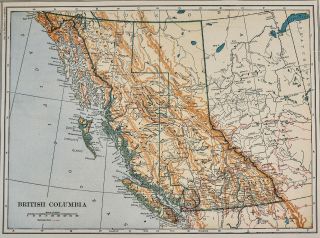
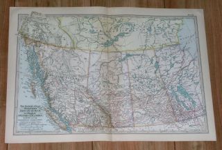
1917 Poates Map - British Columbia Vancouver Nanaimo Canada Juneau Sitka Alaska


Item History & Price

Information:
Reference Number: Avaluer:20519654US State: Alaska
Year: 1917Canadian Province: Yukon
Publication Year: 1917Topic: Maps
Color: Gold
Original Description:
Lake Erie Maps & Prints Ebay Store!An Original Antique Map: Not a Reproduction!  Free US Shipping on Purchases of 5 or More Maps and PrintsDescription:  It is an authentic antique map approximately 100 years old with a copyright date of 1917 by L.L. Poates Eng. Co., in small print in the margin. It is from a 1917 edition of Francis Reynolds New Encyclopedic Atlas and Gazetteer of the World.  There is a similar map of another province on ...the reverse. A very nicely preserved map that would frame up well.
Size: The map image area between the neat lines measure approximately 8 1/2 by 12 1/2 inches on a page measuring 10 1/4 by 15
Condition: The map is in Very Good condition with slight tonal ageing, otherwise it is very clean with strong color, see the pics for more on condition. The pics are of the actual map.Save on Shipping: We only charge one shipping fee based on the largest map or print with multiple items shipped along with it for no extra costs. Purchase 5 or more maps or prints and receive Free First Class shipping in USA.International Customs and VAT Fees: It is the responsibility of the buyer to pay all Customs Taxes, VAT or other fees that may be due upon arrival. These fees vary greatly from country to country and ebay policy is that the buyer is responsible for their country's taxes and fees. Please consult your country's Customs Regulations for more details on your country, printed matter is duty free in many countries. We declare the full purchase value as required by law. Delays by Customs: Although most items arrive at their destination very quickly, we have no control over how long it takes an item to move through Customs, which can be held for up to six weeks in rare cases.Satisfaction Guaranteed: We stand fully behind our products and offer a full refund minus shipping with no questions asked.Check out my other items!    Be sure to add me to your favorites list!

00134


    Similar items


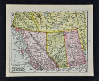
  • 1917 Mcnally Map - British Columbia Alberta Saskatchewan Yukon Vancouver Canada

    1917 Mcnally Map - British Columbia Alberta Saskatchewan Yukon Vancouver Canada

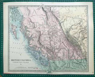
  • 1865 Good Size Antique Sduk / Walker Map: British Columbia & Vancouver,  Canada

    1865 Good Size Antique Sduk / Walker Map: British Columbia & Vancouver, Canada

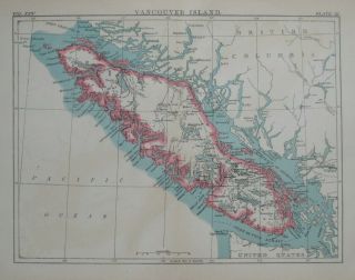
  • 1888 Map Vancouver Island British Columbia Victoria Nanaimo Canada

    1888 Map Vancouver Island British Columbia Victoria Nanaimo Canada

  • British Columbia Vancouver Island " The Isle Of Charm " Map Postcard Circa 1920

    British Columbia Vancouver Island " The Isle Of Charm " Map Postcard Circa 1920

  • Canada Bc British Columbia - Vancouver 1917 War Savings - Flag Slogans X 2

    Canada Bc British Columbia - Vancouver 1917 War Savings - Flag Slogans X 2

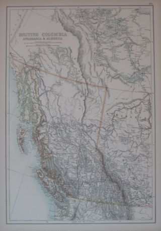
  • 1890 Map British Columbia Athabasca Alberta Canada Vancouver Port Moody

    1890 Map British Columbia Athabasca Alberta Canada Vancouver Port Moody

  • 1911 Antique Map Of British Columbia Vancouver Island Alberta Canada

    1911 Antique Map Of British Columbia Vancouver Island Alberta Canada

  • Canada British Columbia Vancouver Cpr Princess Nanaimo Service Postcard Old View

    Canada British Columbia Vancouver Cpr Princess Nanaimo Service Postcard Old View


    • You might also like


    • 1860 Mitchell Hand Colored Map Colorado,  Nebraska & Kansas - Civil War Era

      1860 Mitchell Hand Colored Map Colorado, Nebraska & Kansas - Civil War Era

    • 18th Century French Map Of North America

      18th Century French Map Of North America

    • Las Vegas Nevada Vintage 1967 Us Geological Survey Quadrangle Map 4 Panels

      Las Vegas Nevada Vintage 1967 Us Geological Survey Quadrangle Map 4 Panels

    • Rare Antique 1845 Maps United States Exploring Expedition Book Antartica Hawaii

      Rare Antique 1845 Maps United States Exploring Expedition Book Antartica Hawaii

    • Vintage 1926 Map Hollywood From The Best Surveys Of The Time

      Vintage 1926 Map Hollywood From The Best Surveys Of The Time

    • American Continent (western Hemisphere) 1747 Bowen Antique Copper Engraved Map

      American Continent (western Hemisphere) 1747 Bowen Antique Copper Engraved Map

    • Gulf Coast Florida Texas United States 1705 De Fer Unusual Antique Engraved Map

      Gulf Coast Florida Texas United States 1705 De Fer Unusual Antique Engraved Map

    • California As Island United States 1700 De Fer Unusual First Edition Antique Map

      California As Island United States 1700 De Fer Unusual First Edition Antique Map

Avaluer          About Us          Privacy Policy          Contact Us          UP
© 2022, avaluer.net, Inc. or its affiliates