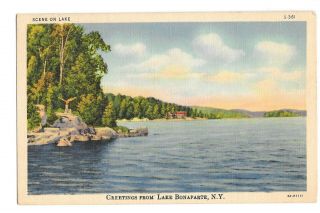
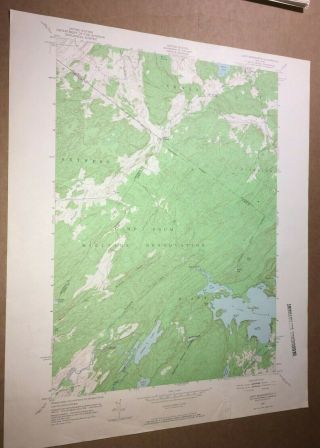
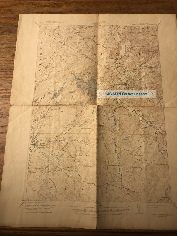
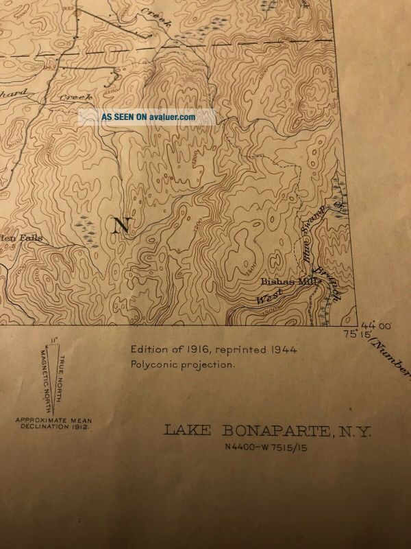
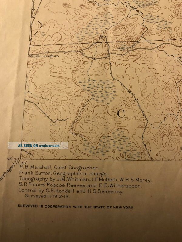
Vintage Quadrangle Map 1944 Lake Bonaparte NY Fort Drum Geological Survey Diana
Item History & Price
| Reference Number: Avaluer:23762257 | Year: 1944 |
| Type: Geological Map |
Vintage Quadrangle Map 1944 Lake Bonaparte NY Fort Drum Geological Survey Diana. Shipped with USPS First Class Package.