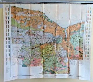
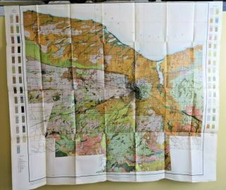
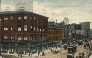
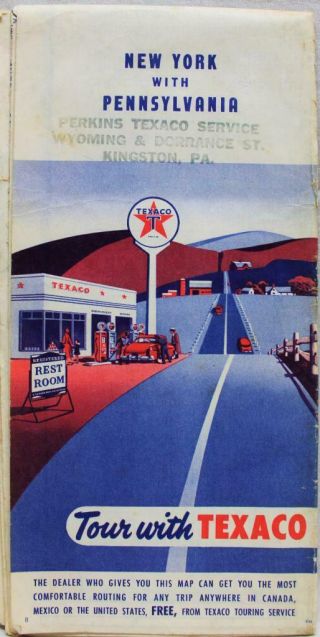
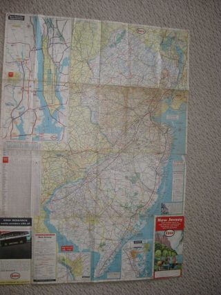
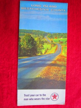
MONROE COUNTY YORK (ROCHESTER) HIGHWAY ROAD MAP 1919 VINTAGE AAA AUTO CLUB


Item History & Price

Information:
Reference Number: Avaluer:25521286Cartographer/Publisher: AAA
Year: 1919Printing Technique: Lithography
US State: New YorkOriginal/Reproduction: Antique Original
City: RochesterFormat: Folding Map
Date Range: 1910-1919Type: County Map
Country/Region: United States of America
Original Description:
Vintage AAA Auto Club road map Monroe County New York circa 1919. Measures 16 X 17 inches in size when fully opened (41 X 44cm). Map is an authentic original in good condition as shown in photos.On Oct-07-20 at 20:29:31 PDT, seller added the following information:


    Similar items


  • 1910 Antique Color Map Monroe County York Rochester Fairport 38x33 4197

    1910 Antique Color Map Monroe County York Rochester Fairport 38x33 4197

  • 1910 Antique Color Map Monroe County York Rochester Fairport 37 X 33 0414

    1910 Antique Color Map Monroe County York Rochester Fairport 37 X 33 0414

  • Early Los Angeles County California Street & Highway Road Map (nr)

    Early Los Angeles County California Street & Highway Road Map (nr)

  • Vintage 1939 Mobil Oil Gas York State Highway Road Map Socony Vacuum Guide

    Vintage 1939 Mobil Oil Gas York State Highway Road Map Socony Vacuum Guide

  • 1915 Rochester,  Ny Main Street East Monroe County York Rochester News Co.

    1915 Rochester, Ny Main Street East Monroe County York Rochester News Co.

  • Texaco Pennsylvania & York State Highway Road Map 1954 Vintage Travel

    Texaco Pennsylvania & York State Highway Road Map 1954 Vintage Travel

  • Huge Antique 1956 Esso Exxon Jersey York City Highway Road Map Hoboken Nr

    Huge Antique 1956 Esso Exxon Jersey York City Highway Road Map Hoboken Nr

  • 1965 Texaco Long Island Westchester County York City Street Road Map

    1965 Texaco Long Island Westchester County York City Street Road Map


    • You might also like


    • 1860 Mitchell Hand Colored Map Colorado,  Nebraska & Kansas - Civil War Era

      1860 Mitchell Hand Colored Map Colorado, Nebraska & Kansas - Civil War Era

    • 18th Century French Map Of North America

      18th Century French Map Of North America

    • Las Vegas Nevada Vintage 1967 Us Geological Survey Quadrangle Map 4 Panels

      Las Vegas Nevada Vintage 1967 Us Geological Survey Quadrangle Map 4 Panels

    • Rare Antique 1845 Maps United States Exploring Expedition Book Antartica Hawaii

      Rare Antique 1845 Maps United States Exploring Expedition Book Antartica Hawaii

    • Vintage 1926 Map Hollywood From The Best Surveys Of The Time

      Vintage 1926 Map Hollywood From The Best Surveys Of The Time

    • American Continent (western Hemisphere) 1747 Bowen Antique Copper Engraved Map

      American Continent (western Hemisphere) 1747 Bowen Antique Copper Engraved Map

    • Gulf Coast Florida Texas United States 1705 De Fer Unusual Antique Engraved Map

      Gulf Coast Florida Texas United States 1705 De Fer Unusual Antique Engraved Map

    • California As Island United States 1700 De Fer Unusual First Edition Antique Map

      California As Island United States 1700 De Fer Unusual First Edition Antique Map

Avaluer          About Us          Privacy Policy          Contact Us          UP
© 2022, avaluer.net, Inc. or its affiliates