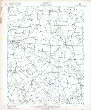
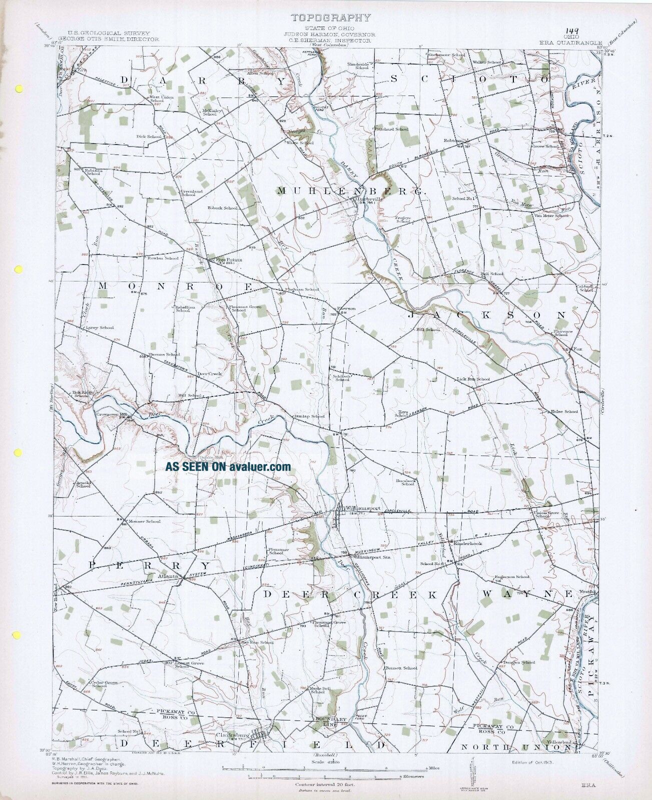
1913 Era OH USGS Topo Clarksburg Atlanta Kinderhook Williamsport Darbyville Fox
Item History & Price
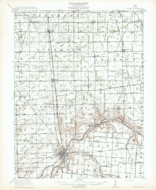
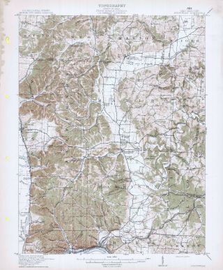
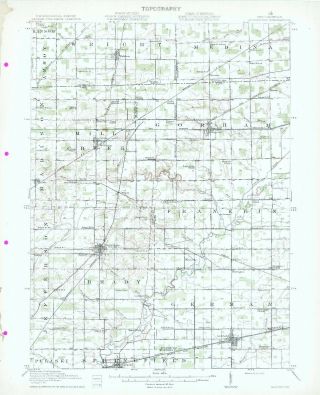
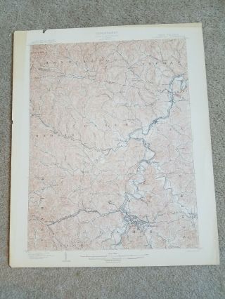
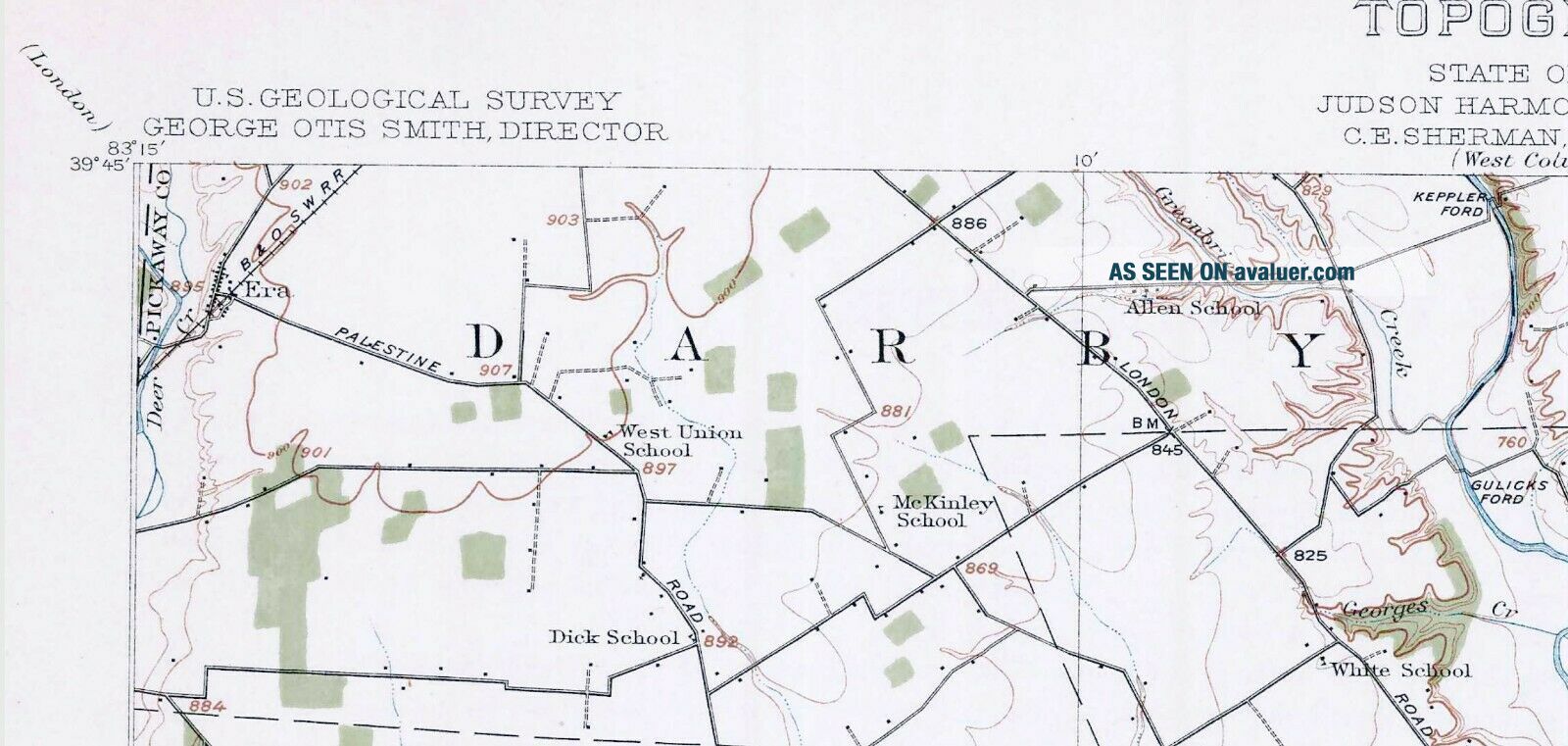
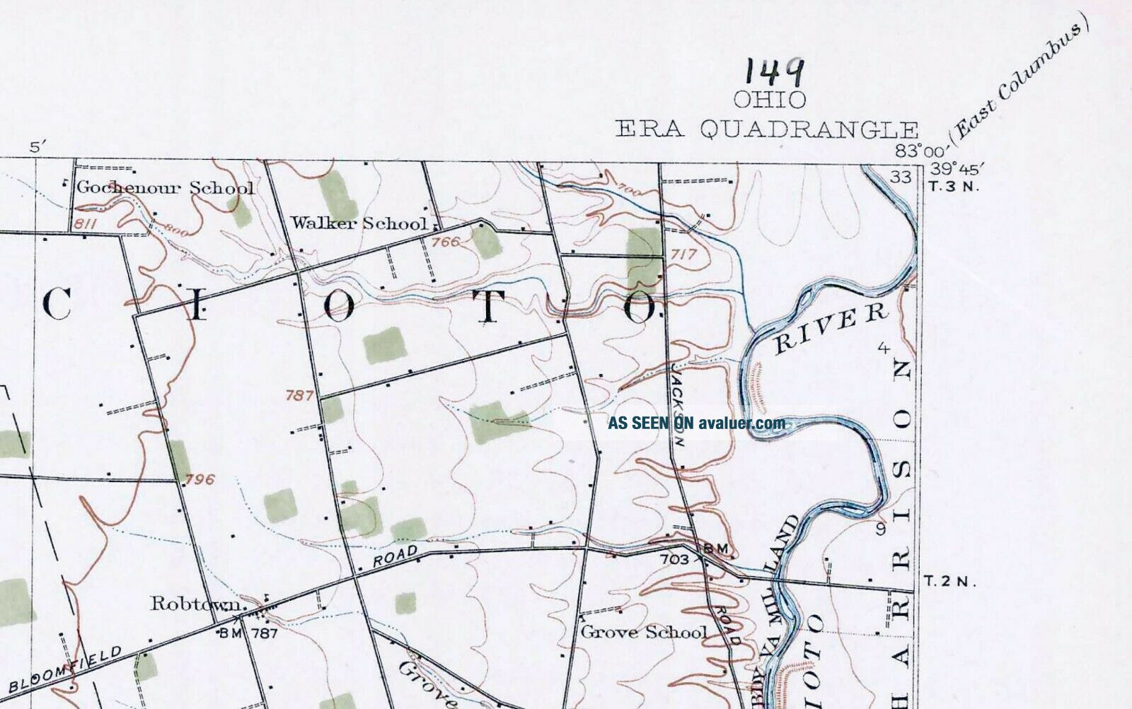
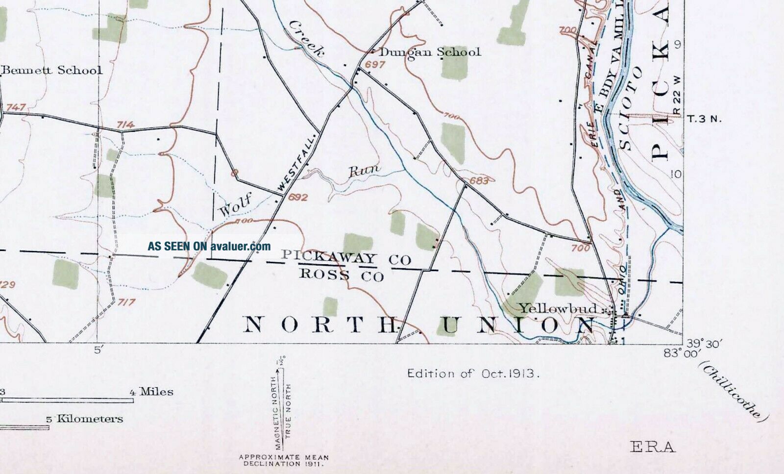
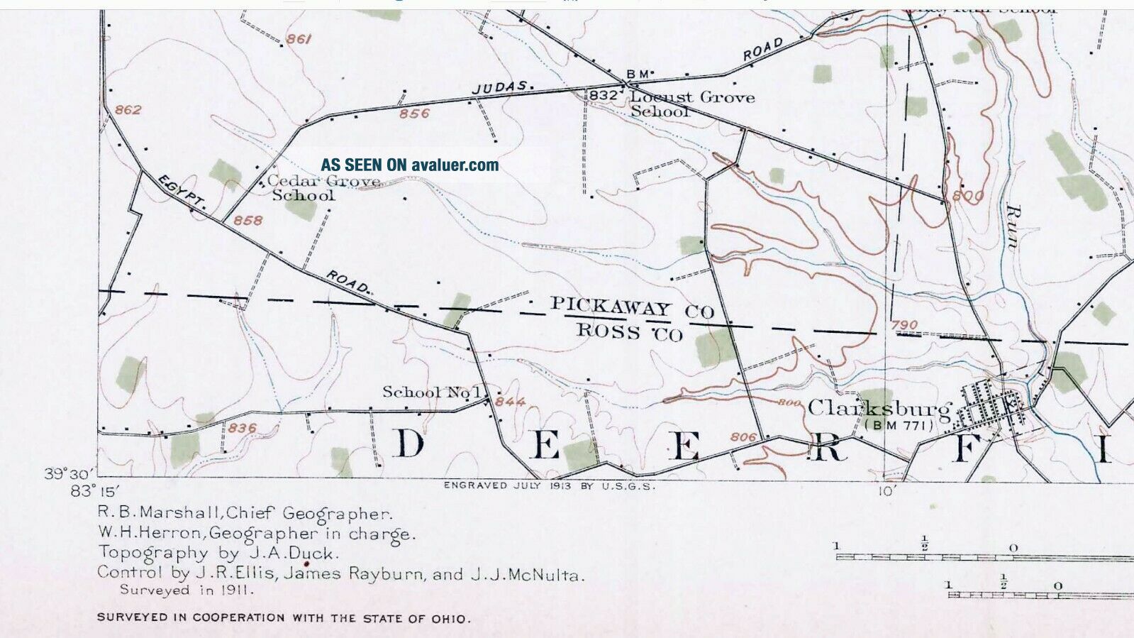
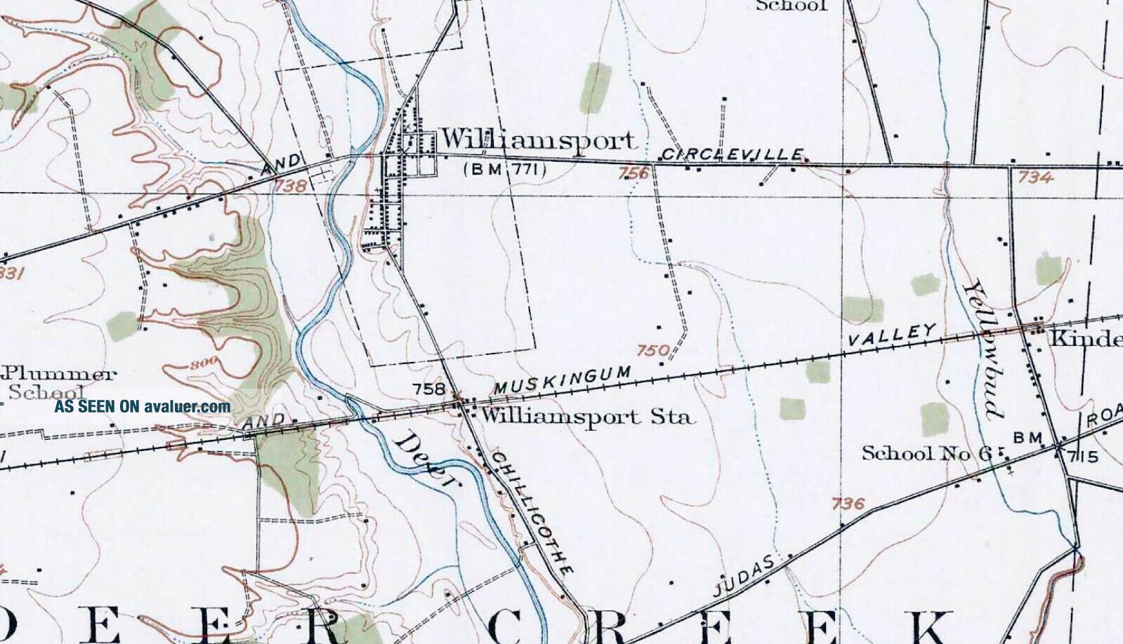
Very cool 15 minute sheet, 1913 edition, surveyed in 1911. Includes standard USGS map information printed on back. My dad purchased a binder of the entire state of Ohio perhaps 40 years ago, and I have stored them for some time. Downsizing now.These measure about 16 x 20 inches and are very suitable for framing. Also good for locating homesteads and farmsteads, as most individual buildings are shown other than in cities and large towns. This map, and ...also many others of these quads deserve special mention for their inclusion of various boundary lines related to the several treaties and agreements that opened the Northwest Territory up to settlement from the Eastern States at the expense of Native Americans. The Connecticut Western Reserve, Greenville Treaty Line, Roberts Line, Ludlow Line, the US Military Lands boundary, and, on this quad, Virginia Military Lands, are significant geographical reminders of American History. They help make these maps more meaningful today, especially to those of us who now live in Oho, or have family or personal/professional interest in the history of this state and its inhabitants past and present.Includes Muhlenburg, Monroe, Jackson, Perry, and Deer Creek Townships; and portions of Darby, Scioto, Harrison, Wayne, Pickaway, North Union, and Deerfield Townships in Pickaway and Ross Counties.Also such place names as Keppler Ford, Gulicks Ford, Darby Creek, Robtown, the Scioto River, the East boundary of the Virginia Military Lands, Darbyville, Five Points, Pherson, Fox, Deer Creek, Crownover Mill, New Holland, Williamsport Station, Westfall, an abandoned stretch of the Ohio and Erie Canal, Yellowbud, and Pecks Ford.The surveyors of this map left no stone unturned in recognizing schoolhouses, as a multitude are identified as follows: West Union, Dick, McKinley, Allen, White, Shadyside, Pritchard, Gochenour, Walker, Grove, Van Meter, Frogeye, Hobuck, Greenland, Robison, Rowlen, Rebellion, Larey, Pleasant Grove (2), Ingman, Hill (2), Bell, Florence, Caldwell, Hulse, Lick Run, Schliech, Dunlap, Keys, Thomas, Tick Ridge, Arnold, Dublin Hill, Mouser, Hornbeck, Union Grove, Fugerson, Plummer, Cedar Grove, Locust Grove, Hay Run, Maple Dell, Bennett, and Dungan Schools. Several numbered schools are also listed.The surveyors likewise produced an exhaustive listing of roads: Egypt, Westfall, Judas, Urbana, Washington and Circleville, Dawson, Circleville, Yankeetown, Florence Chapel, South Bloomfield, Mt Sterling, Palestine, London, and Jackson Roads.Surprisingly, numbered 640-acre sections and Town and Range numbers are not identified.No Electric Interurban Railroad lines are shown.Other Railroad lines shown include: the Baltimore & Ohio Southwestern RR; and the Pennsylvania RR System (Cincinnati & Muskingum Valley RR). I will also be listing the option to purchase the entire State of Ohio (200+ maps) on an SD Card in pdf format.
Multiple auctions ship at no extra cost; please request an adjusted invoice. Shipped rolled in a USPS Priority Tube.
Multiple auctions ship at no extra cost; please request an adjusted invoice. Shipped rolled in a USPS Priority Tube.