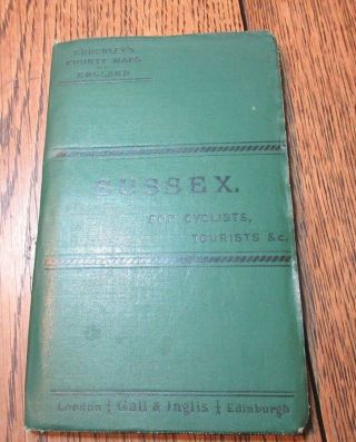
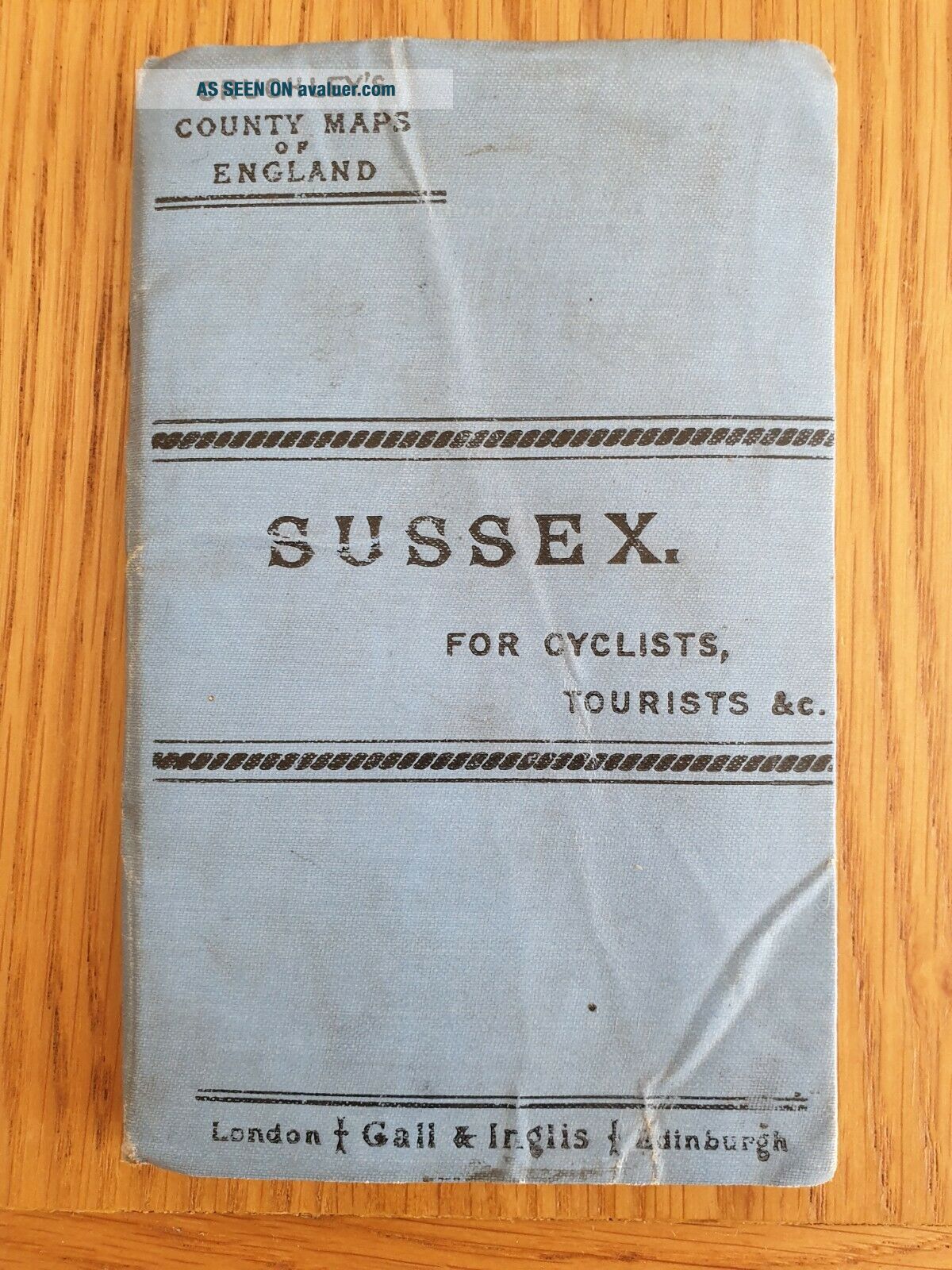
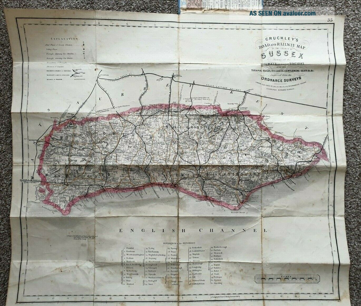
Cruchley Victorian County Map Of England Sussex Showing Railway & Hundreds


Item History & Price

Information:
Reference Number: Avaluer:25524596County: Sussex
Format: Folding MapDate Range: 1800-1899
Country/ Organization: Great BritainOriginal/Reproduction: Antique Original
Cartographer/Publisher: CruchleyCountry/Region: England
Type: Railroad MapEra: 1800s
Original Description:
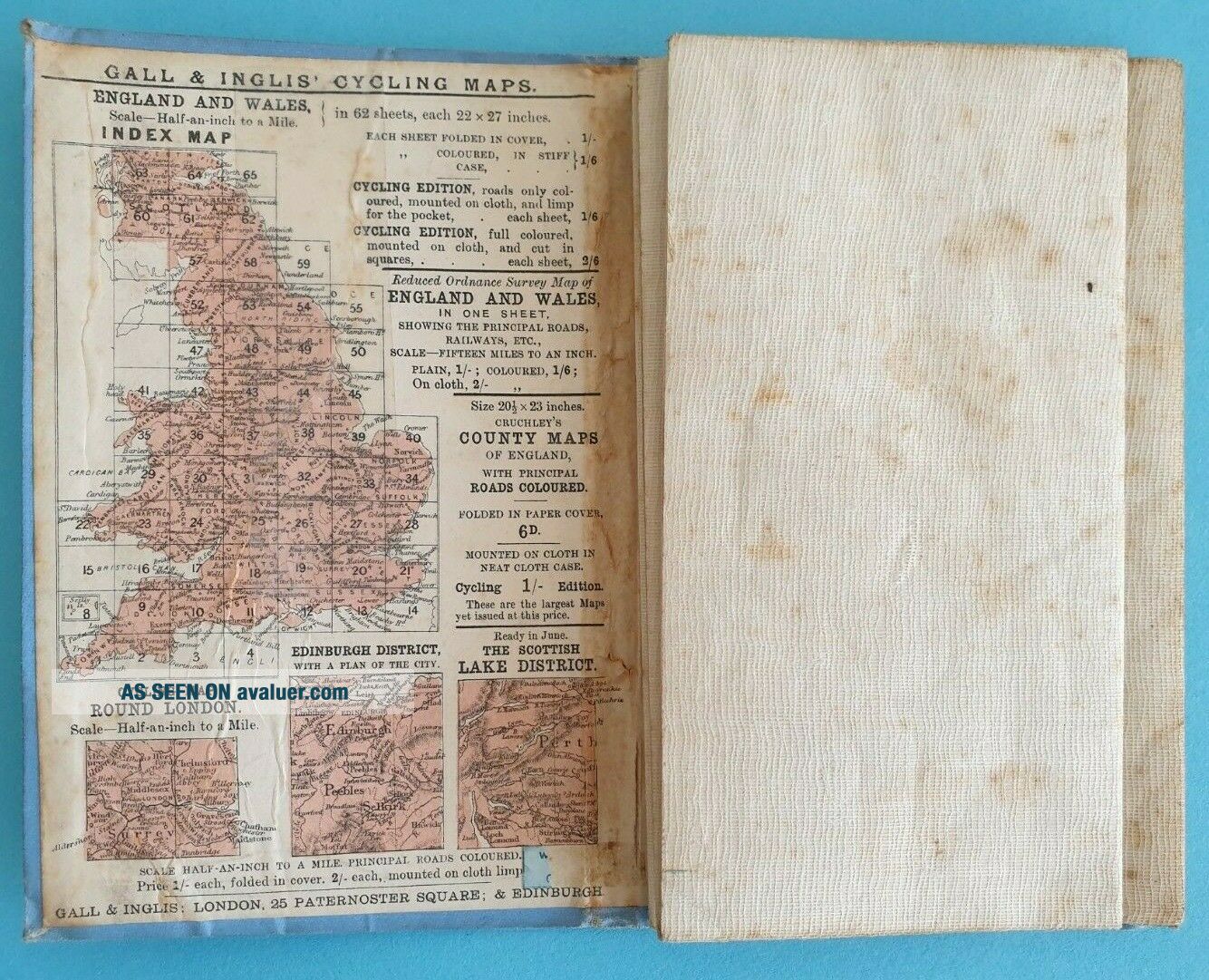
With list of rapes & HundredsFair/Good used condition. Linen backedAge tanned with some spotting - see scan.After 1877 as the cover is marked Gall & Inglis - London & Edinburgh.As with any used map of this age there maybe minor marks and/or small stresses at folds.


    Similar items


  • Gall And Inglis Cruchleys County Maps Of England Sussex Late 1800

    Gall And Inglis Cruchleys County Maps Of England Sussex Late 1800 ' S

  • Cruchley’s County Maps Of England Antique Cycle Map - Cambridge

    Cruchley’s County Maps Of England Antique Cycle Map - Cambridge

  • Cruchley

    Cruchley ' S County Maps Of England - Norfolk

  • Cruchley

    Cruchley ' S County Map Of England (warwick) For Cyclists

  • Cruchleys County Maps Of England (kent) Antique Edwardian C.  1905 Gall & Ingus

    Cruchleys County Maps Of England (kent) Antique Edwardian C. 1905 Gall & Ingus

  • Rare Vintage Geographia Map Of England & Wales Showing Counties In Colour

    Rare Vintage Geographia Map Of England & Wales Showing Counties In Colour

  • Dated 1638 Vellum Map Of Icklesham Sussex Showing Land Uses Owners Etc

    Dated 1638 Vellum Map Of Icklesham Sussex Showing Land Uses Owners Etc

  • Vintage Cruchley

    Vintage Cruchley ' S County Map Of Surrey Circa 1910


    • You might also like


    • Hungary & Romania 1579 (1584) Ortelius Unusual Antique Copper Engraved Map

      Hungary & Romania 1579 (1584) Ortelius Unusual Antique Copper Engraved Map

    • Brussels Bruxelles Belfium 1777 De Ferraris & Dupuis Large Antique Map Sheet Xxi

      Brussels Bruxelles Belfium 1777 De Ferraris & Dupuis Large Antique Map Sheet Xxi

    • 1616 Atlas Map Of Iceland.

      1616 Atlas Map Of Iceland.

    • Kazan Russia 1767 Le Clerc/lespinasse Antique Copper Engraved City View

      Kazan Russia 1767 Le Clerc/lespinasse Antique Copper Engraved City View

    • 1899 Stanford,  Folding Map Of Norwich,  Norfolk,  Arthur Collins,  Jarrold & Sons,

      1899 Stanford, Folding Map Of Norwich, Norfolk, Arthur Collins, Jarrold & Sons,

    • 1948 Vintage Linen Colour Map Geological Survey Ten Mile Of Great Britain

      1948 Vintage Linen Colour Map Geological Survey Ten Mile Of Great Britain

    • 1944 Map Flying Bombs Sussex Ww2 Newspaper Military Kent Courier German V1 V2

      1944 Map Flying Bombs Sussex Ww2 Newspaper Military Kent Courier German V1 V2

Avaluer          About Us          Privacy Policy          Contact Us          UP
© 2022, avaluer.net, Inc. or its affiliates