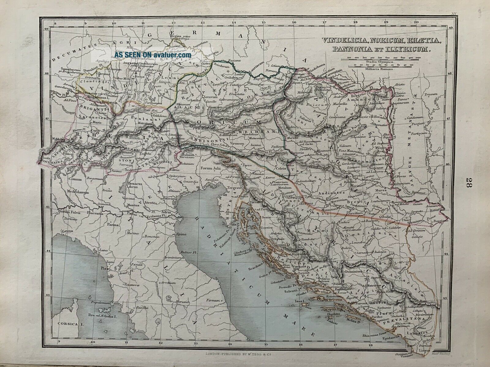
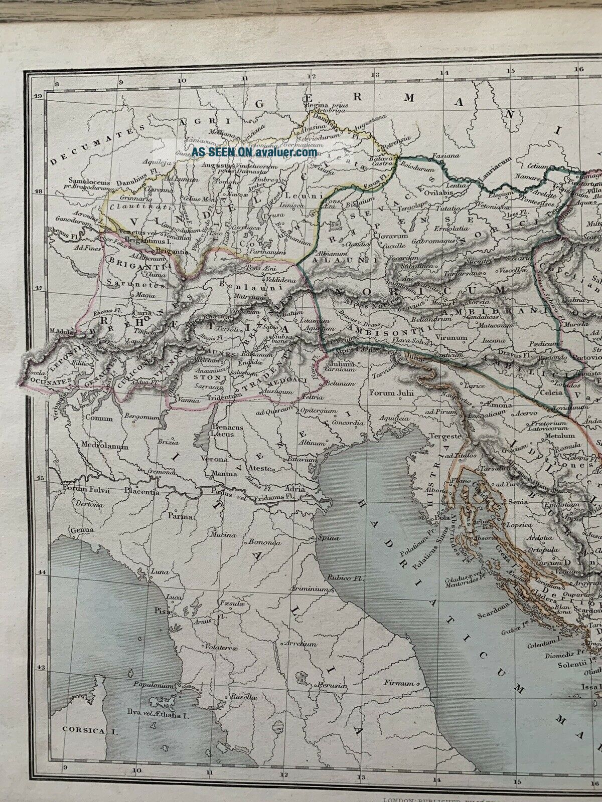
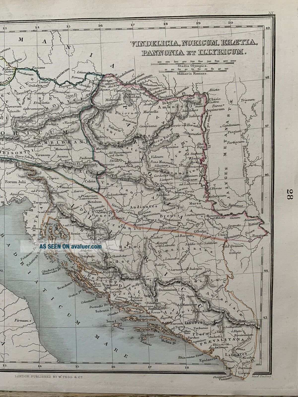
1853 NORICUM PANNONIA ILLYRIA HAND COLOURED MAP BY ALEXANDER FINDLAY


Item History & Price

Information:
Reference Number: Avaluer:25524734Year: 1853
Original/Reproduction: Antique OriginalFormat: Atlas Map
Date Range: 1800-1899Cartographer/Publisher: Alexander Findlay
Country/Region: Austria, CroatiaType: Political Map
Original Description:
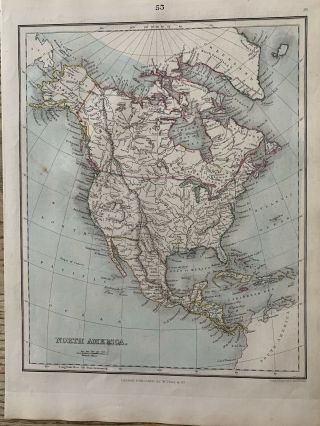
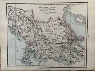
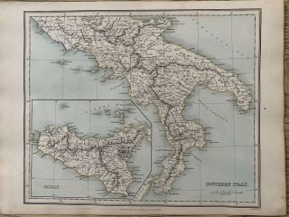
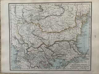
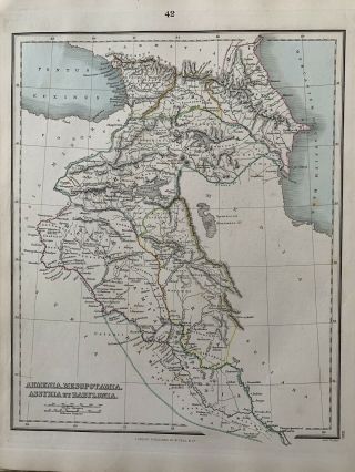
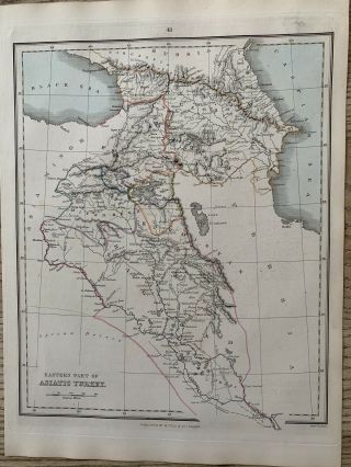
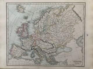
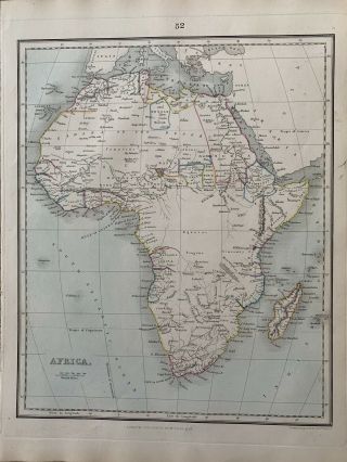
This interesting map is from "A Comparative Atlas of Ancient and Modern Geography" by Alexander G. Findlay, published by William Tegg and Co., London, 1853.
This hand coloured map measures approximately 32 cm x 24 cm or 12.5" x 9.5". It is hand coloured, printed on one side only and is perfect for framing.  This is an original antique, 166 years old.

Shipping can be combined for multiple items. 
Please look at my other listings for more maps, atlases, b...ooks and engravings. 
Please click on this link to view my other listings which you will find categorised on the left side of the page. https://www.ebay.com/str/diddersgoods


    Similar items


  • 1853 North America Antique Hand Coloured Map By Alexander Findlay

    1853 North America Antique Hand Coloured Map By Alexander Findlay

  • 1853 Northern Greece Antique Hand Coloured Map By Alexander Findlay

    1853 Northern Greece Antique Hand Coloured Map By Alexander Findlay

  • 1853 Southern Italy Antique Hand Coloured Map By Alexander Findlay

    1853 Southern Italy Antique Hand Coloured Map By Alexander Findlay

  • 1853 Macedonia Thrace Illyria Dacia Hand Coloured Map By Alexander Findlay

    1853 Macedonia Thrace Illyria Dacia Hand Coloured Map By Alexander Findlay

  • 1853 Armenia Babylonia Mesopotamia Assyria Hand Coloured Map By Alex.  Findlay

    1853 Armenia Babylonia Mesopotamia Assyria Hand Coloured Map By Alex. Findlay

  • 1853 Armenia Georgia Kurdistan Iraq Hand Coloured Map By Alexander Findlay

    1853 Armenia Georgia Kurdistan Iraq Hand Coloured Map By Alexander Findlay

  • 1853 Europe Antique Hand Coloured Map By Alexander Findlay

    1853 Europe Antique Hand Coloured Map By Alexander Findlay

  • 1853 Africa Antique Hand Coloured Map By Alexander Findlay

    1853 Africa Antique Hand Coloured Map By Alexander Findlay


    • You might also like


    • Hungary & Romania 1579 (1584) Ortelius Unusual Antique Copper Engraved Map

      Hungary & Romania 1579 (1584) Ortelius Unusual Antique Copper Engraved Map

    • Brussels Bruxelles Belfium 1777 De Ferraris & Dupuis Large Antique Map Sheet Xxi

      Brussels Bruxelles Belfium 1777 De Ferraris & Dupuis Large Antique Map Sheet Xxi

    • 1616 Atlas Map Of Iceland.

      1616 Atlas Map Of Iceland.

    • Kazan Russia 1767 Le Clerc/lespinasse Antique Copper Engraved City View

      Kazan Russia 1767 Le Clerc/lespinasse Antique Copper Engraved City View

    • 1899 Stanford,  Folding Map Of Norwich,  Norfolk,  Arthur Collins,  Jarrold & Sons,

      1899 Stanford, Folding Map Of Norwich, Norfolk, Arthur Collins, Jarrold & Sons,

    • 1948 Vintage Linen Colour Map Geological Survey Ten Mile Of Great Britain

      1948 Vintage Linen Colour Map Geological Survey Ten Mile Of Great Britain

    • 1944 Map Flying Bombs Sussex Ww2 Newspaper Military Kent Courier German V1 V2

      1944 Map Flying Bombs Sussex Ww2 Newspaper Military Kent Courier German V1 V2

    • Dated 1638 Vellum Map Of Icklesham Sussex Showing Land Uses Owners Etc

      Dated 1638 Vellum Map Of Icklesham Sussex Showing Land Uses Owners Etc

Avaluer          About Us          Privacy Policy          Contact Us          UP
© 2022, avaluer.net, Inc. or its affiliates