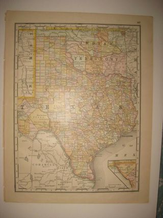
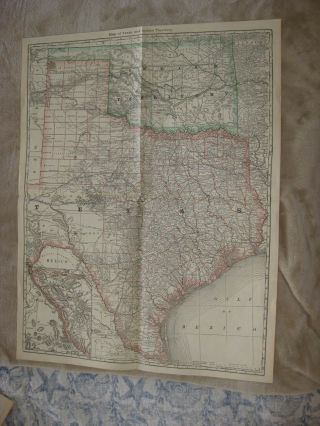
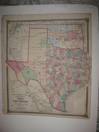
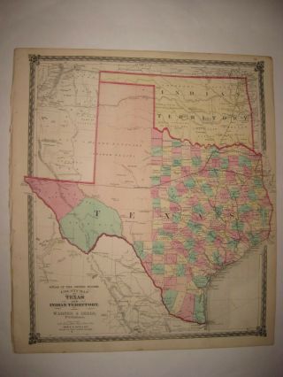
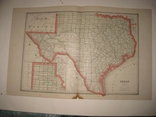
ANTIQUE 1880 TEXAS INDIAN TERRITORY OKLAHOMA NAMED RAILROAD MAP HOUSTON DALLAS

Item History & Price
| Reference Number: Avaluer:25525480 | Type: Railroad Map |
| US State: Oklahoma | Year: 1880 |
| City: Dallas |

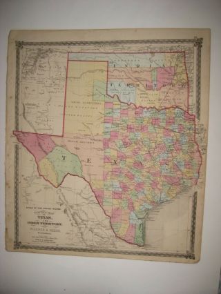
| Reference Number: Avaluer:25525480 | Type: Railroad Map |
| US State: Oklahoma | Year: 1880 |
| City: Dallas |
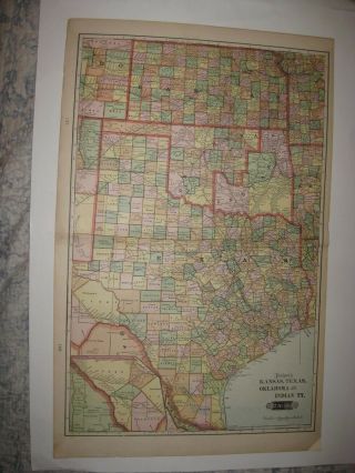
Antique 1888 Texas Indian Territory Oklahoma & Kansas Map Railroad Fine
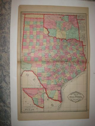
Huge Gorgeous Antique 1883 Texas Indian Territory Oklahoma Map Dallas Houston Nr
Huge Antique 1904 Texas Indian Territory Oklahoma Kansas Map Rebus Title Arizona
Huge Antique 1885 Texas Indian Territory Oklahoma Handcolored Map Houston Austin
Huge Gorgeous Antique 1875 Texas Indian Territory Oklahoma Handcolored Map Rare
Masterpiece Huge Antique 1875 Texas Indian Territory Oklahoma Handcolored Map Nr
Masterpiece Huge Antique 1874 Texas Indian Territory Oklahoma Handcolored Map Nr
Antique 1884 Texas Indian Territory Oklahoma Colorado Map Population Railroa

1860 Mitchell Hand Colored Map Colorado, Nebraska & Kansas - Civil War Era

18th Century French Map Of North America

Las Vegas Nevada Vintage 1967 Us Geological Survey Quadrangle Map 4 Panels

Rare Antique 1845 Maps United States Exploring Expedition Book Antartica Hawaii

Vintage 1926 Map Hollywood From The Best Surveys Of The Time

American Continent (western Hemisphere) 1747 Bowen Antique Copper Engraved Map

Gulf Coast Florida Texas United States 1705 De Fer Unusual Antique Engraved Map

California As Island United States 1700 De Fer Unusual First Edition Antique Map