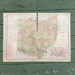
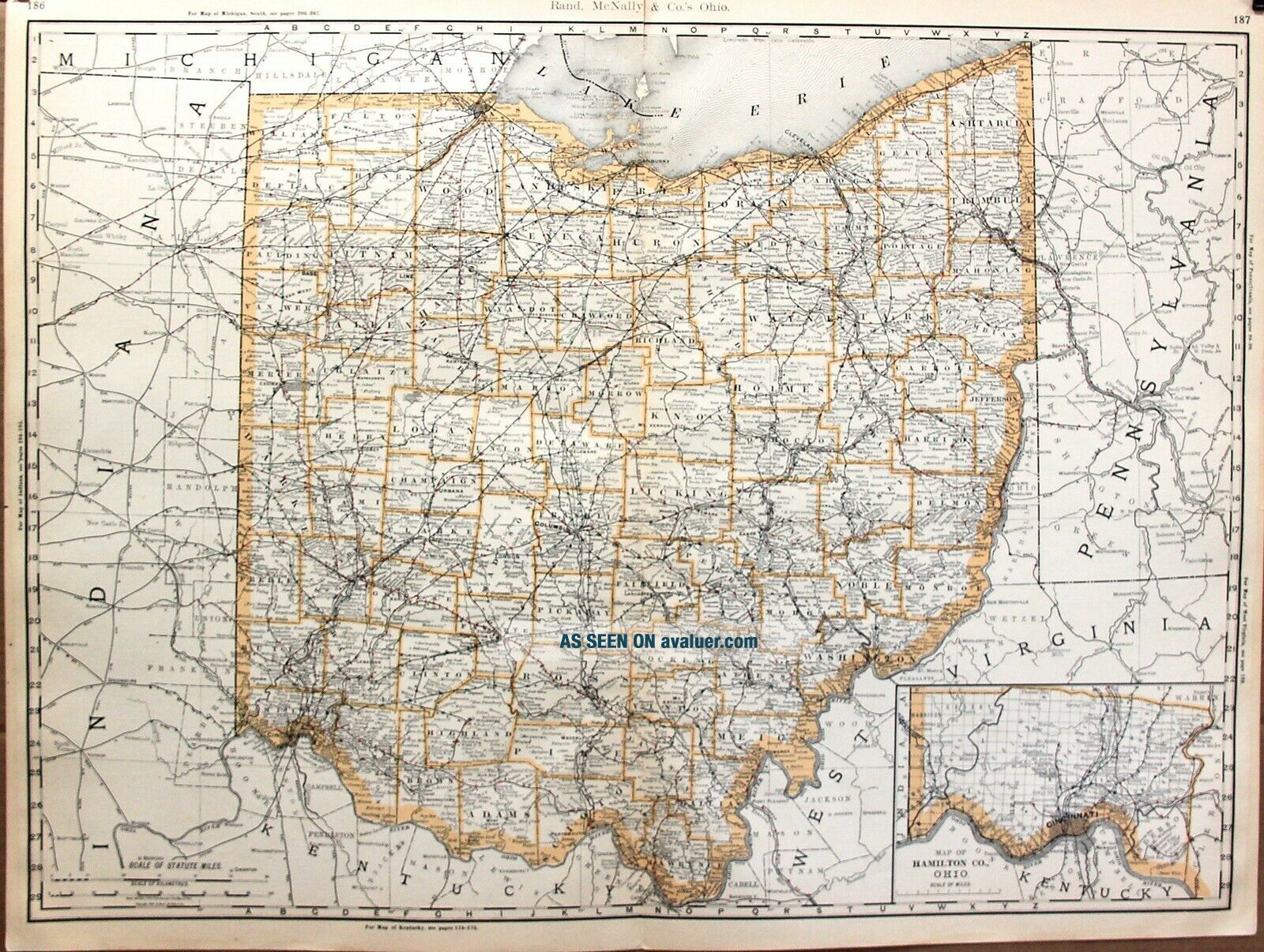
1888 Large Format 2 Page Rand McNally Atlas Map The State Of Ohio 27” X 20”


Item History & Price

Information:
Reference Number: Avaluer:25525714
Original Description:
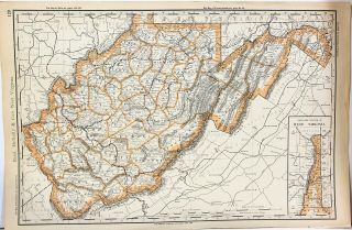
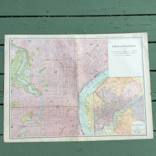
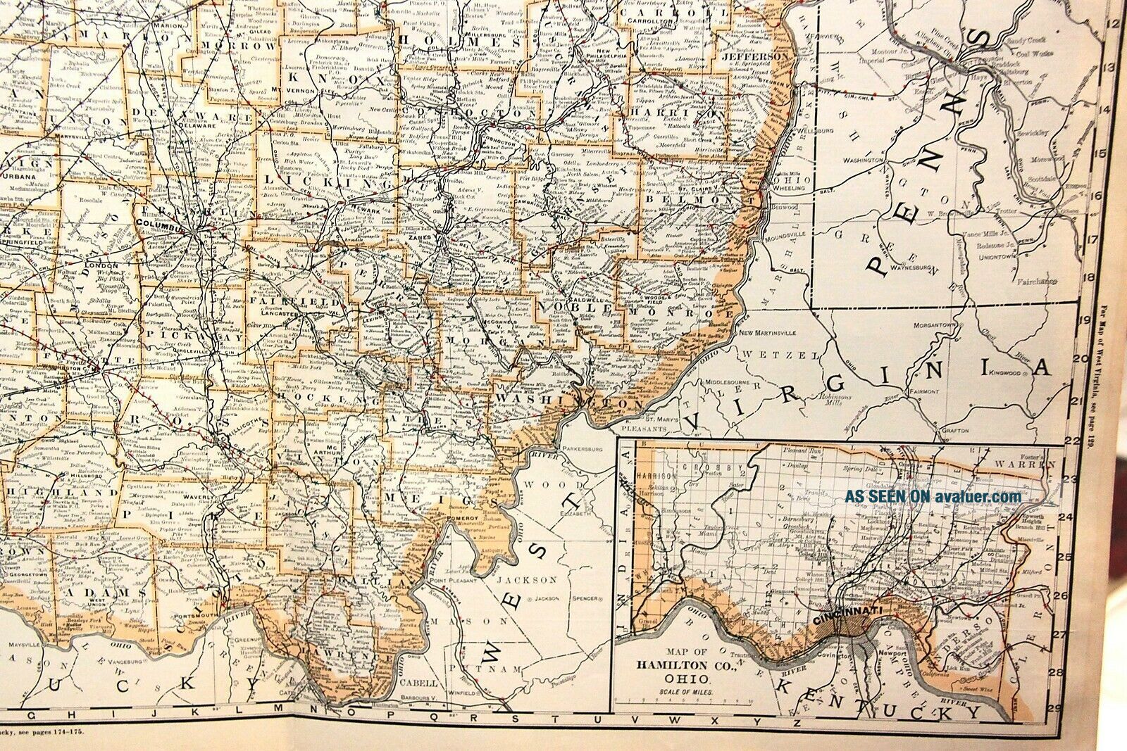
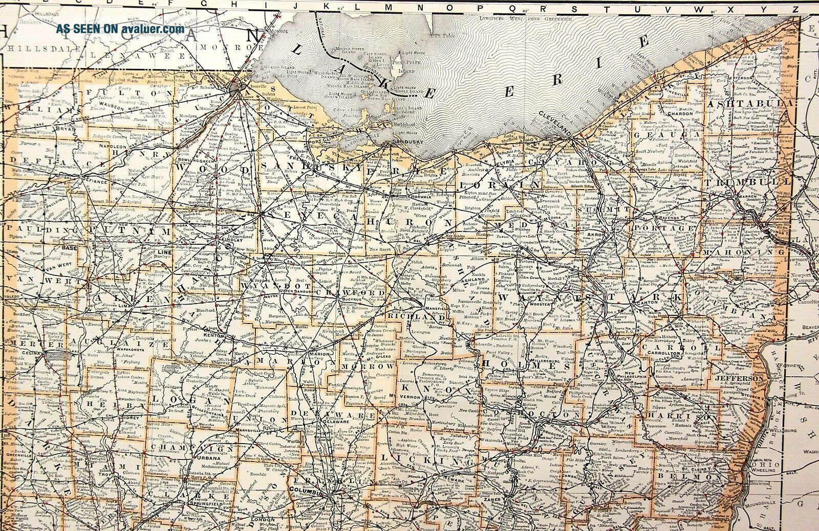
Here is a two page map of Ohio from an 1888 Rand McNally Atlas. The map is single sided with text on the back. It is a large format map with some light coloring added along the state border. 26 ½” x 20 ½”. The map itself is clean and nice. There are some small edge tears along the borders of the map and one small split in the middle. This would frame up nicely and look great on a large Ohio wall!
Powered by eBay Turbo L...ister
The free listing tool. List your items fast and easy and manage your active items.

00291


    Similar items


  • 1888 Large Format Rand Mcnally Atlas Map Of West Virginia 13” X 20”

    1888 Large Format Rand Mcnally Atlas Map Of West Virginia 13” X 20”

  • 1888 Large Format Rand Mcnally Atlas Map Of South Carolina 13” X 20”

    1888 Large Format Rand Mcnally Atlas Map Of South Carolina 13” X 20”

  • 1888 Texas Large Dated 2 - Page Color Atlas Map 131 Years Old

    1888 Texas Large Dated 2 - Page Color Atlas Map 131 Years Old

  • Large Antique Map Of Tennessee 1911 Rand - Mcnally Atlas

    Large Antique Map Of Tennessee 1911 Rand - Mcnally Atlas

  • Brazil 1895 Color 10 1/2 X 14 Map / Rand Mcnally Atlas

    Brazil 1895 Color 10 1/2 X 14 Map / Rand Mcnally Atlas

  • Large Antique Map Of Philadelphia From 1911 Rand - Mcnally Atlas 28.  25 X 20.  5

    Large Antique Map Of Philadelphia From 1911 Rand - Mcnally Atlas 28. 25 X 20. 5

  • Large Antique Map Of Ohio From 1911 Rand - Mcnally Atlas 28.  25 X 20.  5

    Large Antique Map Of Ohio From 1911 Rand - Mcnally Atlas 28. 25 X 20. 5

  • 1926 Atlas Of Eastern Us Junior Auto Trails And Strip Maps 2 Books Rand Mcnally

    1926 Atlas Of Eastern Us Junior Auto Trails And Strip Maps 2 Books Rand Mcnally


    • You might also like


    • 1860 Mitchell Hand Colored Map Colorado,  Nebraska & Kansas - Civil War Era

      1860 Mitchell Hand Colored Map Colorado, Nebraska & Kansas - Civil War Era

    • 18th Century French Map Of North America

      18th Century French Map Of North America

    • Las Vegas Nevada Vintage 1967 Us Geological Survey Quadrangle Map 4 Panels

      Las Vegas Nevada Vintage 1967 Us Geological Survey Quadrangle Map 4 Panels

    • Rare Antique 1845 Maps United States Exploring Expedition Book Antartica Hawaii

      Rare Antique 1845 Maps United States Exploring Expedition Book Antartica Hawaii

    • Vintage 1926 Map Hollywood From The Best Surveys Of The Time

      Vintage 1926 Map Hollywood From The Best Surveys Of The Time

    • American Continent (western Hemisphere) 1747 Bowen Antique Copper Engraved Map

      American Continent (western Hemisphere) 1747 Bowen Antique Copper Engraved Map

    • Gulf Coast Florida Texas United States 1705 De Fer Unusual Antique Engraved Map

      Gulf Coast Florida Texas United States 1705 De Fer Unusual Antique Engraved Map

    • California As Island United States 1700 De Fer Unusual First Edition Antique Map

      California As Island United States 1700 De Fer Unusual First Edition Antique Map

Avaluer          About Us          Privacy Policy          Contact Us          UP
© 2022, avaluer.net, Inc. or its affiliates