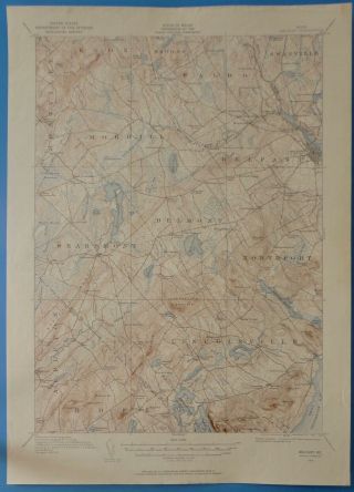
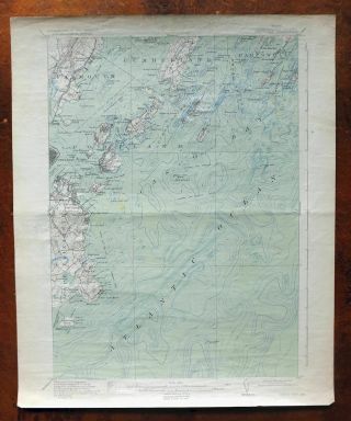
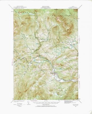
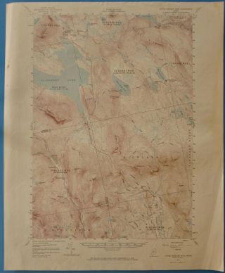
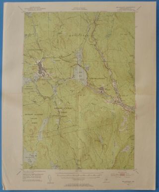
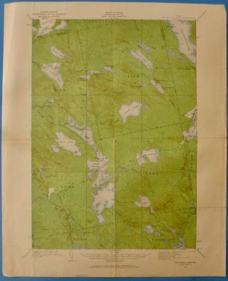
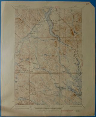
Caribou, Maine, Vintage USGS Topographic Map, 1943


Item History & Price
| Reference Number: Avaluer:25530000 | Type: Topographical Map |
| US State: Maine | Year: 1943 |
This USGS topographic map of Caribou, Maine was originally published in 1932. This copy is a 1943 reprint. The map is original, with normal wear, but no marks or stains. It is part of the 15 minute map series and is in good condition for its age. It measures 18 x 21 inches. The scale is 1:62, 500, one inch equals approximately one mile.
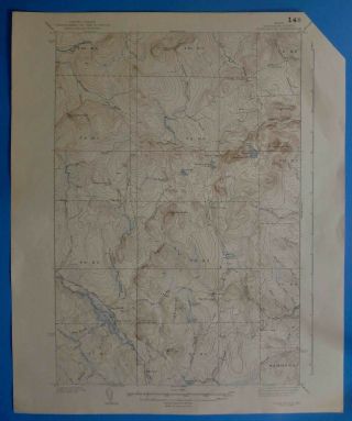
An interesting story about topographic mapping of the United States, dated November 1937, is printed on the back of the map.
...
An interesting story about topographic mapping of the United States, dated November 1937, is printed on the back of the map.
...