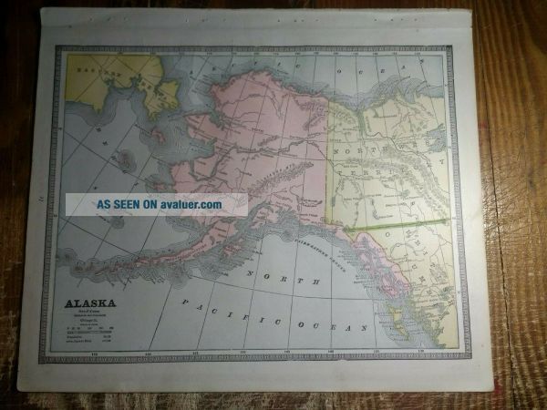
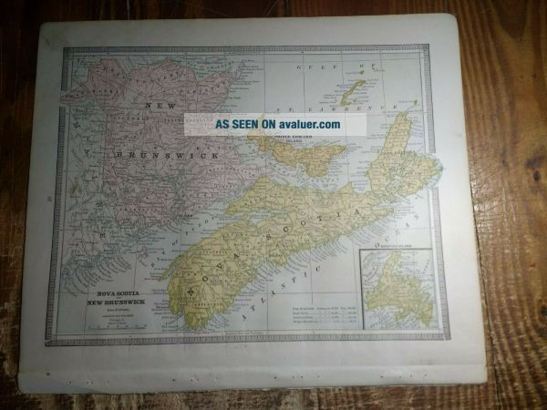
Map Of The District Of Alaska - Map Of Nova Scotia & Brunswick On Back 1885
Item History & Price
ALL REASONABLE OFFERS WILL BE ACCEPTED!!!

1885 Map Of The District Of Alaska - Map Of Nova Scotia & Brunswick On Back
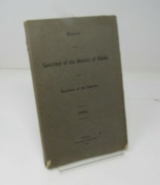
1904 Report Governor Of The District Of Alaska Large Map Tables Mining Fishing
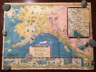
Vintage 1930 ' S Alaska Steamship Co. Map Of Alaska The Alaska Line Map
1899 Map Of Alaska And The Klondike Region By Dodd Mead & Co. Antique
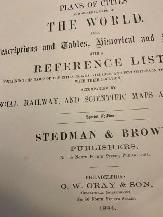
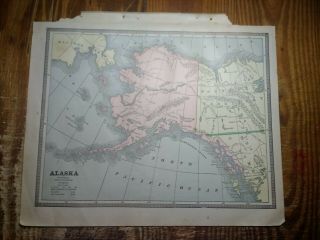
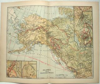
Antique 1884 Map Of The Territory Of Alaska Suitable For Framing
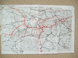
Vintage Maps Of The District Railway Map Of London. 1900s.
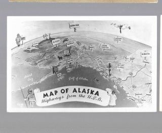
Pk36878:real Photo Postcard - Map Of Alaska, Highways From The Usa

1860 Mitchell Hand Colored Map Colorado, Nebraska & Kansas - Civil War Era

18th Century French Map Of North America

Las Vegas Nevada Vintage 1967 Us Geological Survey Quadrangle Map 4 Panels

Rare Antique 1845 Maps United States Exploring Expedition Book Antartica Hawaii

Vintage 1926 Map Hollywood From The Best Surveys Of The Time

American Continent (western Hemisphere) 1747 Bowen Antique Copper Engraved Map

Gulf Coast Florida Texas United States 1705 De Fer Unusual Antique Engraved Map

California As Island United States 1700 De Fer Unusual First Edition Antique Map