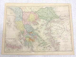
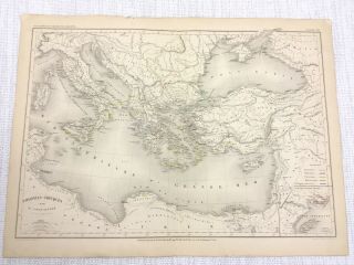
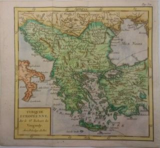
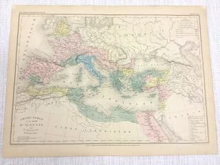
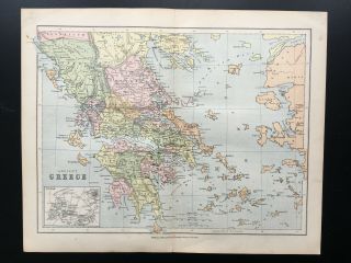
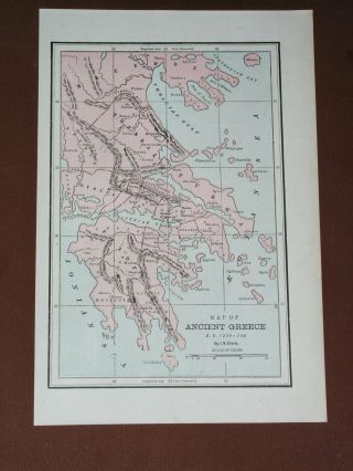
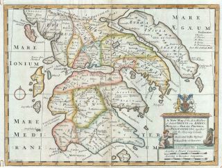
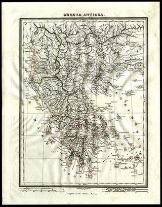
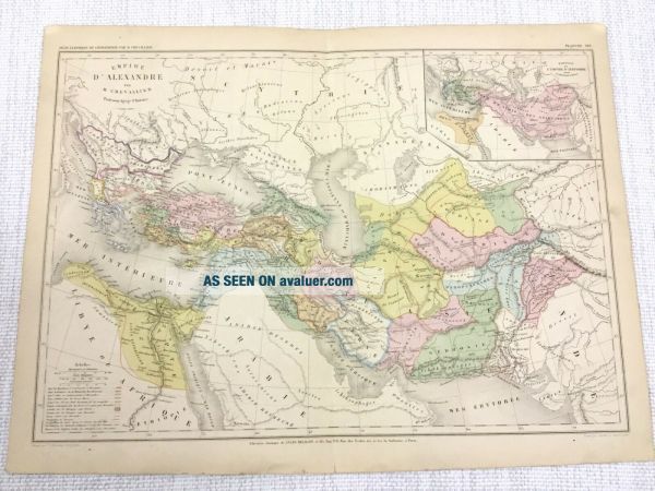
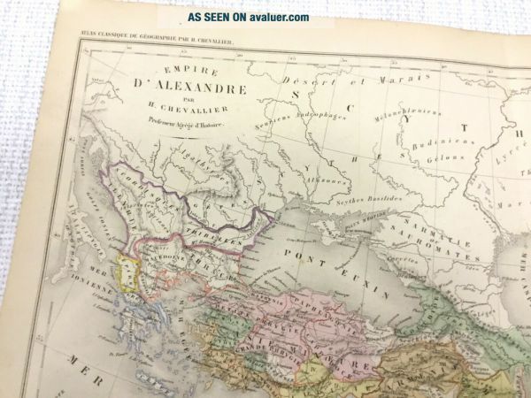
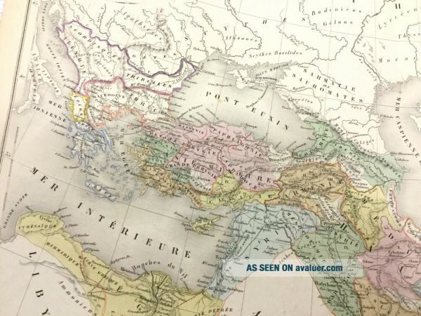
1877 Antique Map Of Ancient Greece Alexander The Great Hand Coloured French
Item History & Price
Original Antique French Edition Hand Large Colored Folio Map ' From the folio: Atlas Complet de Géographie Contemporaine, Ancienne, du Moyen-Age, Moderne. Dont une carte Politique et une carte Judiciaire de la France en 1789, justice civile et criminelle et justice administrative.
Published by Imprimerie et Librairie Classiques de J. Delalain et Fils, Paris (1877)
DATE PRINTED:1877 - Map itself is undated.
MAP SIZE WHEN UNFOLDED: Approx 35c...m x 48cm Approx
TYPE: Antique Engraved Map
CONDITION: Good condition, perfectly suitable for framing, Given the fact this map is over 140 years old, there are minor Signs of age marks yellowing and potential marks / spots / stains / foxing. Pre folded and creased, Please review the outer edges, as this is where most of signs of age is likely to appear. Potentially some small aged tape repairs to crease - edges. Notes / marks / annotations. You will receive the item pictured, so the pictures are integral to the condition report and listing. Please check the pictures for any blemishes prior to making your purchase. Virtually all antiquarian maps and prints are subject to some normal aging due to use and time. As the map is prefolded, all maps are shipped folded and flat for safe secure shipping. This is an original folio map from the 1877 edition of the Atlas Complet de Géographie Contemporaine, Ancienne, du Moyen-Age, Moderne. Dont une carte Politique et une carte Judiciaire de la France en 1789, justice civile et criminelle et justice administrative.' As its was published in Paris, all text is in French.
AUTHENTICITY: This is an authentic historic map, published at the date stated above. It is not a modern copy.
VERSO: - see pictures for confirmation - you will receive the item pictured.
ARTIST/CARTOGRAPHER/ENGRAVER: CHEVALLIER Henry, Paris 1877