1872 Hand - Colored Map Of PA/Counties Of Wayne And Pike.


Item History & Price
| Reference Number: Avaluer:27075 | Type: Map |
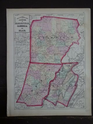
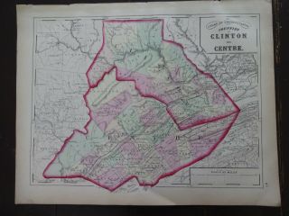
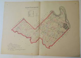
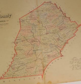
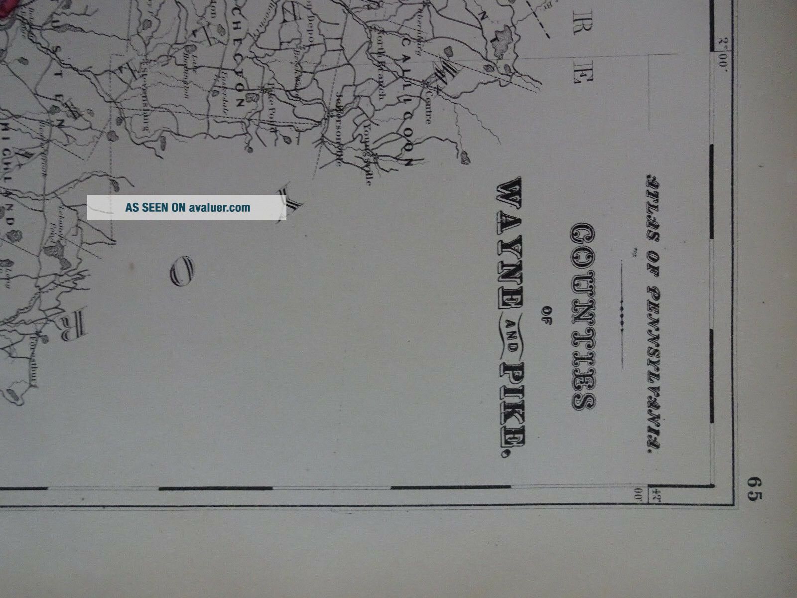
Up for sale is a Hand-Colored, Authentic, Antique Topographical Atlas of Pennsylvania, Counties of Wayne and Pike.
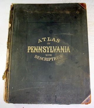
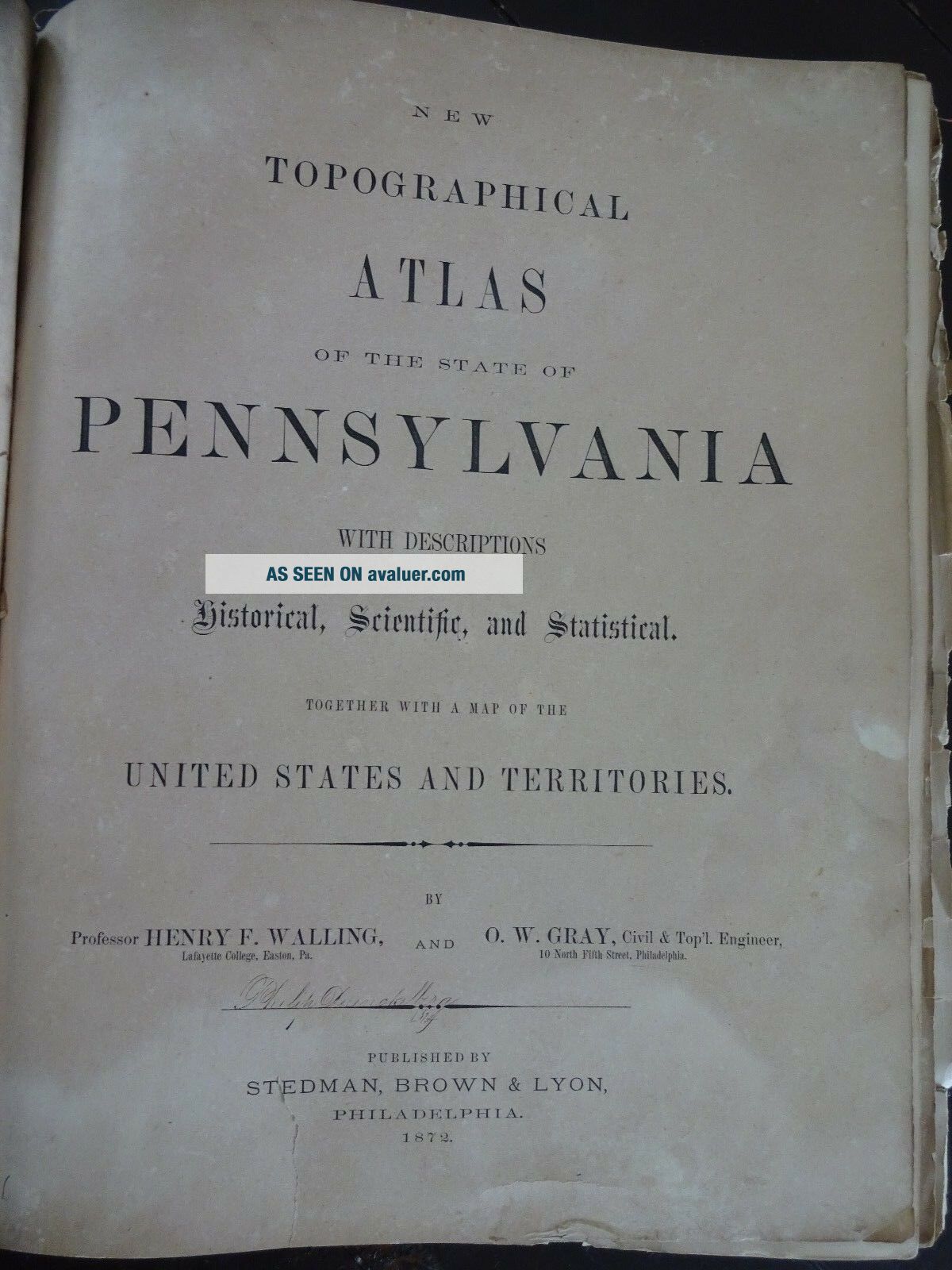
The map measures approximately 17" x 13 1/2", including the border area. Map is with original handcoloring and outlining and is blank on the reverse side. It is not matted nor framed, being sold as a single sheet as show in the main picture. This map is from the New Topographical Atlas Of The State of Pennsylvania With Descriptions Historical, Scientifi...c, and Statistical. By Professor Henry F. Walling and O.W. Gray, Civil & Top'l. Engineer. Published in 1872 by Stedman, Brown & Lyton, Philadelphia.
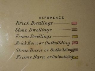
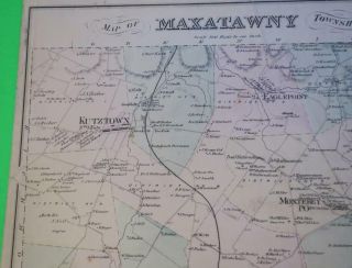
The map has fantastic coloring to it and is a great period county map, with towns, cities, railroads, roads, etc. of the time. Excellent, detailed and interesting period map of these counties.
The map is generally in Very Good condition. There is some wear and browning along the edges. Some small chips along the edges, as well. There are holes along the left side where it was originally bound, and other dings here and there, as well.
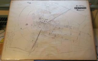
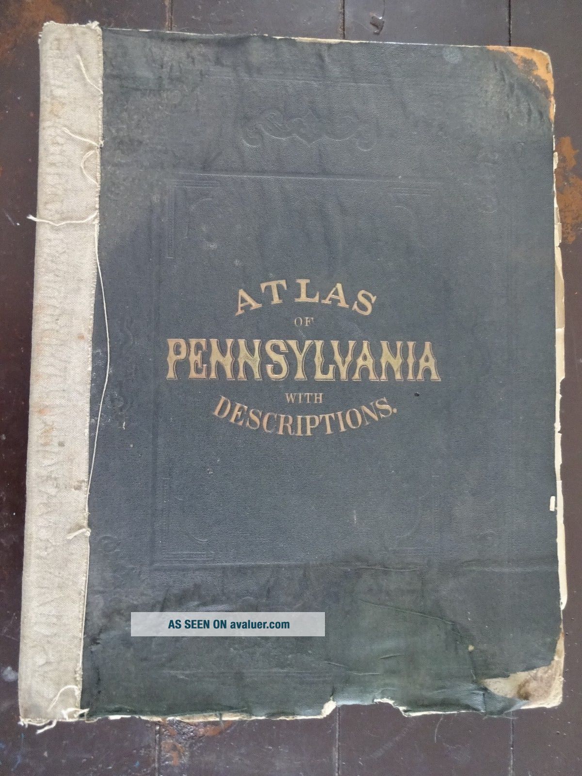
This map is a great piece of US history! It will look very nice when framed. Please note that while I have included pictures of the front board of the Atlas and the Title Page from the Atlas this map was taken from, they are NOT included in the sale, as they are reference pieces to determine authenticity for the other maps. I would be happy to include a copy if requested.
Please see my store for other great items. Inventory R-Map-26
00587
The map measures approximately 17" x 13 1/2", including the border area. Map is with original handcoloring and outlining and is blank on the reverse side. It is not matted nor framed, being sold as a single sheet as show in the main picture. This map is from the New Topographical Atlas Of The State of Pennsylvania With Descriptions Historical, Scientifi...c, and Statistical. By Professor Henry F. Walling and O.W. Gray, Civil & Top'l. Engineer. Published in 1872 by Stedman, Brown & Lyton, Philadelphia.
The map has fantastic coloring to it and is a great period county map, with towns, cities, railroads, roads, etc. of the time. Excellent, detailed and interesting period map of these counties.
The map is generally in Very Good condition. There is some wear and browning along the edges. Some small chips along the edges, as well. There are holes along the left side where it was originally bound, and other dings here and there, as well.
This map is a great piece of US history! It will look very nice when framed. Please note that while I have included pictures of the front board of the Atlas and the Title Page from the Atlas this map was taken from, they are NOT included in the sale, as they are reference pieces to determine authenticity for the other maps. I would be happy to include a copy if requested.
Please see my store for other great items. Inventory R-Map-26
00587