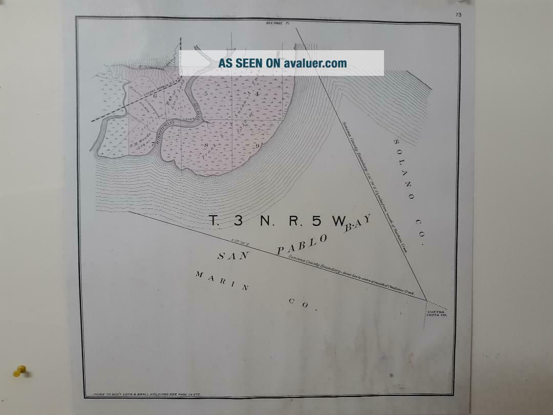
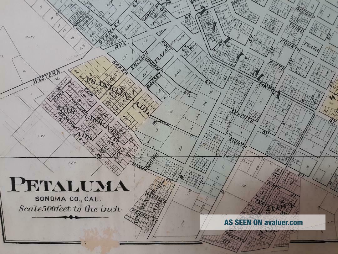
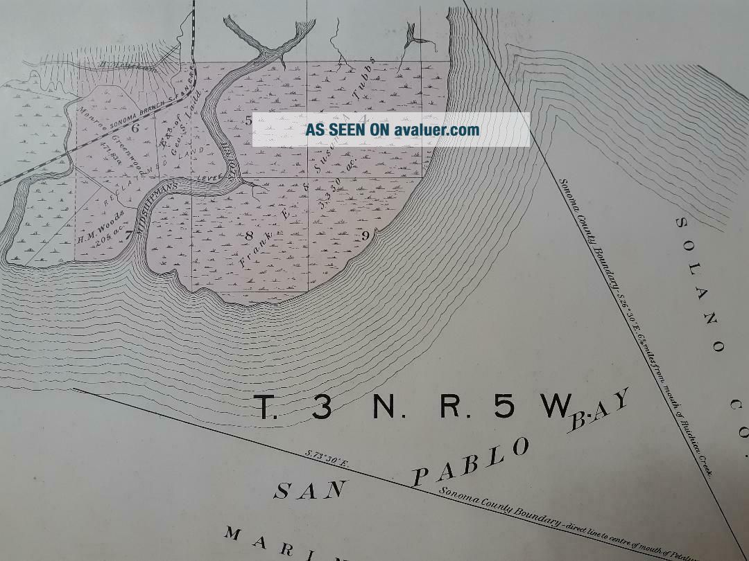
1898 SONOMA COUNTY PETALUMA, CALIFORNIA RANCH LAND GRANT SURVEY MAP

Item History & Price
1898 SONOMA COUNTY PETALUMA, CALIFORNIA RANCH LAND GRANT SURVEY MAP 1898 SONOMA COUNTY PETALUMA, CALIFORNIA RANCH LAND GRANT SURVEY MAP

1857 Ca Map Yolo Sierra Nevada Napa Sonoma County Old California History Huge
Sonoma County Sheriff (california) Shoulder Patch - From The Late 1980 ' S
Ca Sonoma County Sheriff, California Police Patch
Sonoma Valley (sonoma County) Ca California Fire Rescue Dept. 33 Patch -
Sonoma County Ca California Emergency Services Fire Hazmat, Etc. Patch -
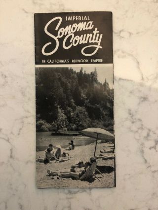
Imperial Sonoma County In California ' S Redwood Empire Brochure
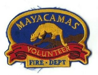
Rare Mayacamas (sonoma County) Ca California Volunteer Fire Dept. Patch -
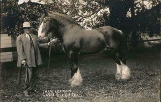
Rppc Glen Ellen, Ca Jack London With Horse Sonoma County Author California

1860 Mitchell Hand Colored Map Colorado, Nebraska & Kansas - Civil War Era

18th Century French Map Of North America

Las Vegas Nevada Vintage 1967 Us Geological Survey Quadrangle Map 4 Panels

Rare Antique 1845 Maps United States Exploring Expedition Book Antartica Hawaii

Vintage 1926 Map Hollywood From The Best Surveys Of The Time

American Continent (western Hemisphere) 1747 Bowen Antique Copper Engraved Map

Gulf Coast Florida Texas United States 1705 De Fer Unusual Antique Engraved Map

California As Island United States 1700 De Fer Unusual First Edition Antique Map